Rockhounding in Esmeralda County, Nevada
14 mapped rockhounding spots in Esmeralda County. Most commonly produces gold, lead, silver, copper.
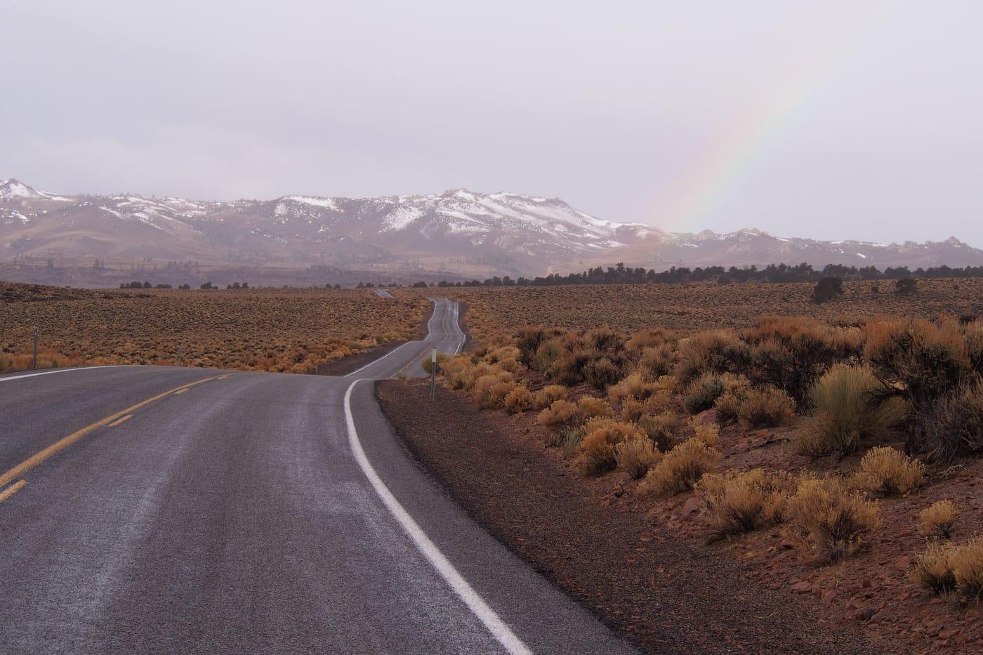
Esmeralda County rockhounding photos
Representative spot and material photos from this county, shown where verified public image records are available.

Map showing 14 rockhounding spots in Esmeralda County, Nevada
Standouts in Esmeralda County
Hand-picked spots in Esmeralda County, chosen for unusual mineralogy or documented public access. Each card opens the full coordinates and access notes.
 Top pick
Coaldale
PublicEsmeralda County
Coaldale is a useful Esmeralda County silica locality because the candidate data points to agate, chert, hyalite opal, jasper, and turquoise in a compact desert area. Mindat and NBMG district records help anchor the site in a named mining district, making it a better researched pick than a vague countywide agate listing.
Agate, Chert, Hyalite Opal, Jasper
 Top pick
Fish Lake Valley
PublicEsmeralda County
Fish Lake Valley is notable for hot-spring mercury mineralization rather than ordinary desert float, with Mindat records describing opalized and silicified rhyolite-hosted rock carrying cinnabar and opal. The locality is a good Nevada example of silica-rich alteration, but mercury minerals and old workings make conservative collecting and hand-sample handling important.
Cinnabar, Opalite
 Top pick
Goldfield
PublicEsmeralda County
Goldfield is one of Nevada's strongest mineralogical districts because Mindat documents a high-sulfidation quartz-alunite gold system with native gold, native silver, pyrite, alunite, tellurides, and several type-locality minerals. Its value for rockhounding research is the intensely altered volcanic-hosted setting, although the historic mine landscape demands careful attention to claims and mine hazards.
Alum, Pyrite, Quartz, Copper
Spots in Esmeralda County
| Spot | Minerals | Coordinates | Access |
|---|---|---|---|
| Alkali Flat Hot SpringSilver Peak Road |
| 37.8255, -117.3382 | Public |
| BasaltGrand Army of the Republic Highway | 38.0048, -118.2187 | Public | |
| CoaldaleVeterans Memorial Highway | 38.0299, -117.8794 | Public | |
| Esmerelda CountyWeepah Road | 37.8913, -117.5281 | Public | |
| Fish Lake |
| 37.7418, -118.0542 | Public |
| Fish Lake ValleyCemetery Road |
| 37.7962, -118.0090 | Public |
| Gold Mountain |
| 37.2568, -117.3044 | Public |
| Goldfield | 37.7087, -117.2227 | Public | |
| Lone MountainCrow Springs Road | 38.0718, -117.4847 | Public | |
| Monte Cristo Range |
| 38.1503, -117.6306 | Public |
| Montezuma Peak | 37.6626, -117.3611 | Public | |
| Rock Hill3 |
| 38.1500, -117.9495 | Public |
| TokopCat Trail | 37.3038, -117.2534 | Public | |
| Veterans Memorial HighwayVeterans Memorial Highway | 38.0251, -117.7848 | Public |
Neighboring counties in Nevada
Adjacent rockhounding counties, ranked by how close their centroids sit to Esmeralda County. A natural extension if Esmeralda County is already on your trip plan.
Esmeralda County FAQ
Where can I rockhound in Esmeralda County, Nevada?+
What rocks and minerals are common in Esmeralda County?+
Are these Esmeralda County rockhounding spots on public land?+
Plan a Esmeralda County rockhounding trip
Open RockHoundR to see these spots on the map alongside land overlays, weather, geology, and your saved finds.
