Northwest (Virgin Valley, Black Rock Desert)
Virgin Valley fire opal at fee-dig mines (Royal Peacock, Bonanza, Rainbow Ridge, Stonetree), plus agate, jasper, and obsidian on surrounding BLM. The Black Rock has petrified wood and limnic agate.
118 mapped spots across 16 counties. Nevada has dense rockhounding coverage because so much of the state is public land. BLM areas and old mining districts turn up opal, turquoise, agate, jasper, geodes, and secondary minerals.
Representative spot and material photos from locations in this state, shown where verified public image records are available.
Map showing 118 rockhounding spots in Nevada
Counts reflect how many spots in this list mention each mineral.
Notable areas: Virgin Valley fire opal, Royal Peacock paid digs, Garnet Hill, the Black Rock Desert, and the Tonopah and Goldfield districts are well known to rockhounds.
Roughly 80% of Nevada is BLM ground. Basin and Range faulting exposes Tertiary volcanics across much of the state, producing opal, agate, jasper, and obsidian. Mining districts at Tonopah, Goldfield, Virginia City, and Ely produced many secondary minerals from old dumps. Nevada turquoise is important, but most known turquoise ground is on patented claims.
Virgin Valley fire opal at fee-dig mines (Royal Peacock, Bonanza, Rainbow Ridge, Stonetree), plus agate, jasper, and obsidian on surrounding BLM. The Black Rock has petrified wood and limnic agate.
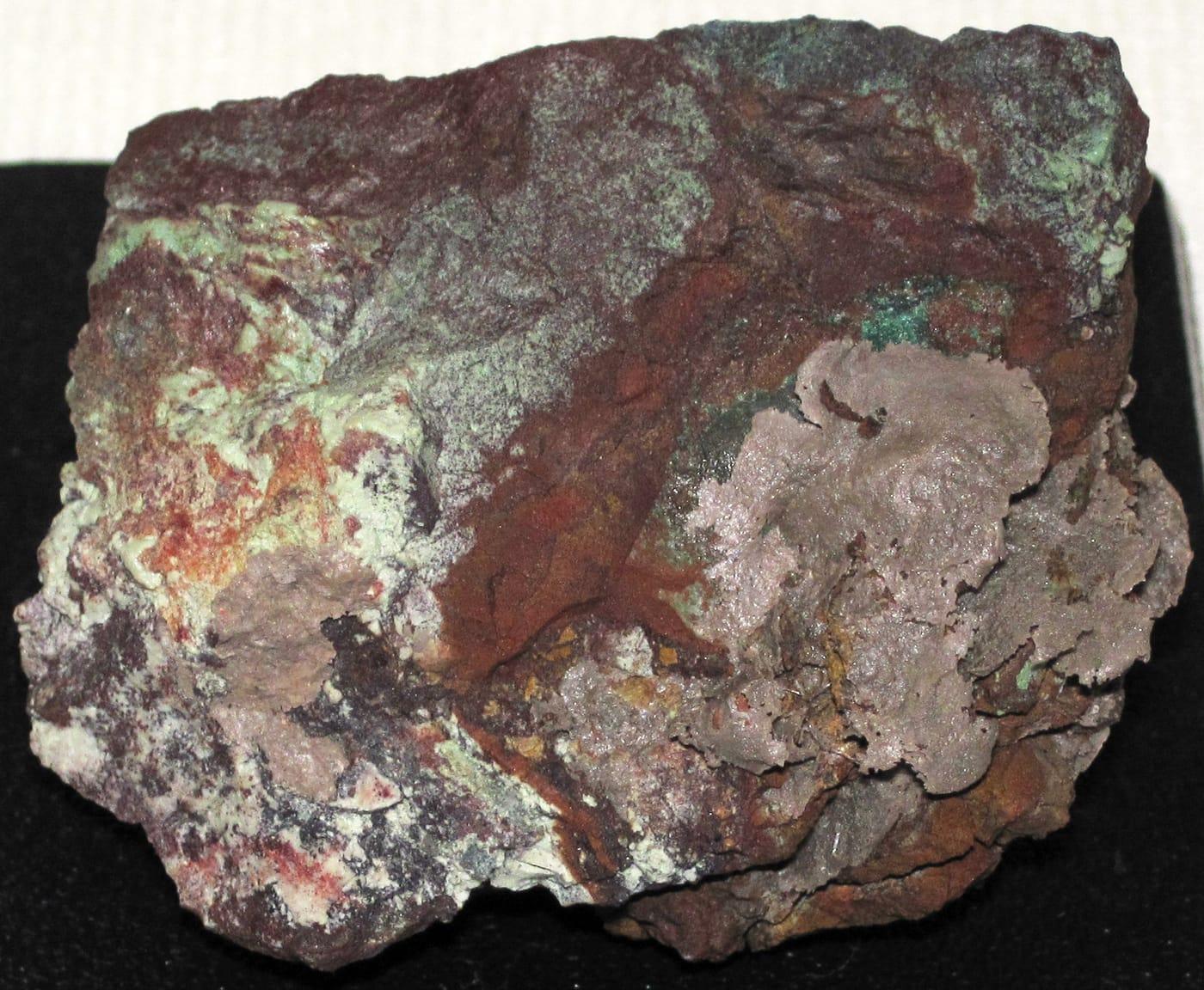
Garnet Hill near Ely (BLM recreation area), agate and jasper across the Goldfield district, plus secondary copper minerals on mine dumps. Many districts have active claims — check carefully.
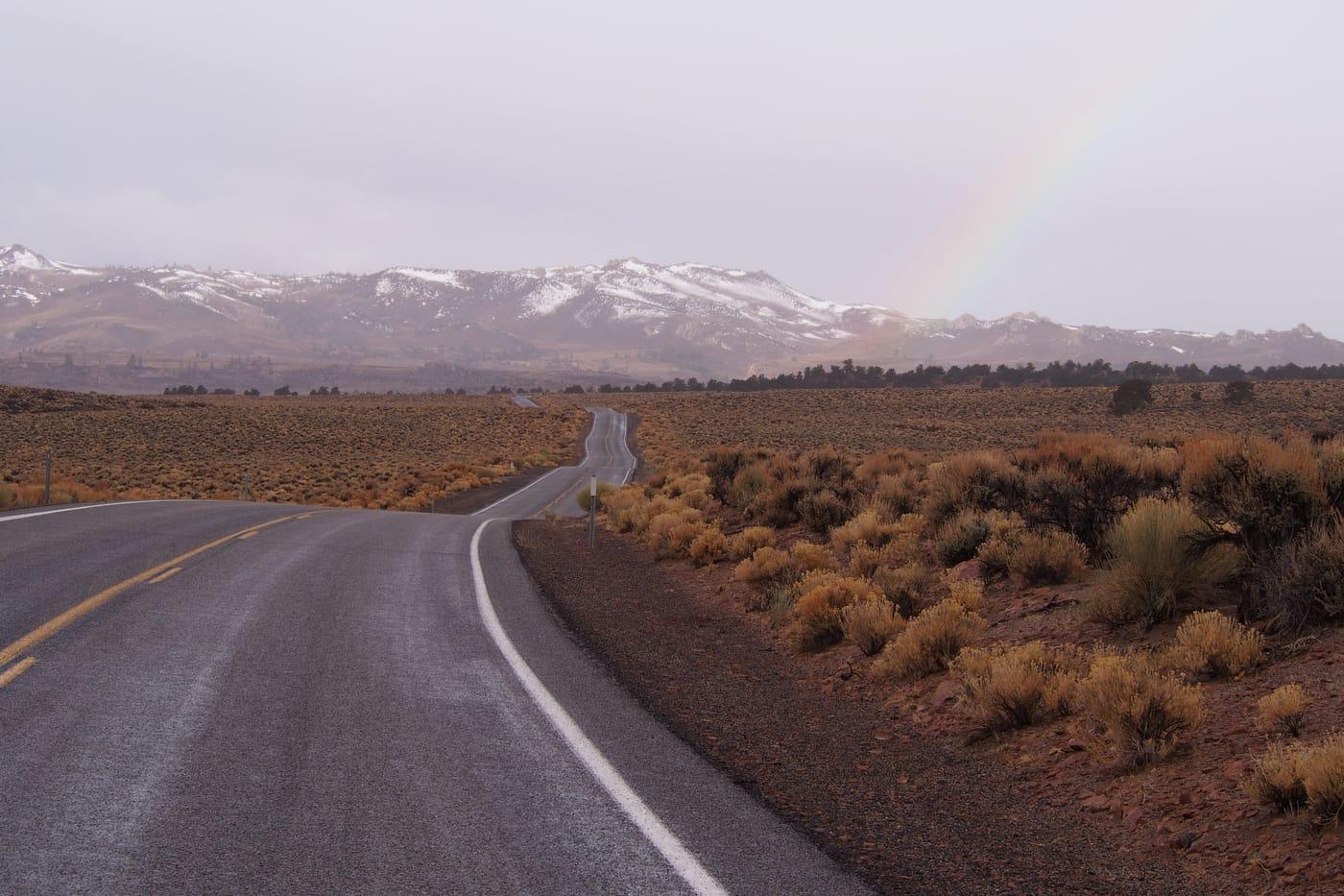
Apache tears at Glass Mountain, picture agate in the Bristol Range, and Cretaceous fossil leaves in shale exposures. Very hot in summer.
April–June and September–October. Mid-summer in southern Nevada exceeds 110°F. Virgin Valley opal mines typically open Memorial Day weekend and close in early October.
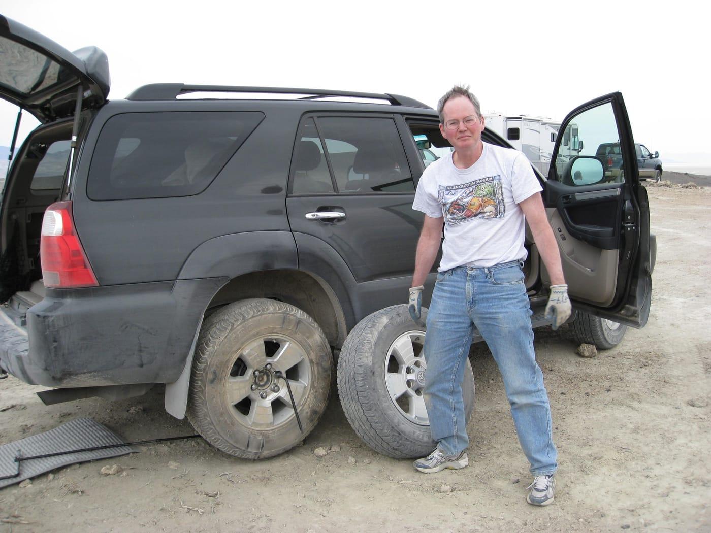
Full-size spare tire, off-road jack, paper map of BLM roads, gallons of water, sun shade, and a willingness to drive long graded-dirt approaches. For opal mines: spray bottle and Vaseline to keep wet hyalite from crazing on the drive home.
Nevada collecting grew out of silver and gold mining from the 1860s through the early 1900s. Virgin Valley fire opal deposits were found in the early 1900s and still operate through fee-dig mines, including Royal Peacock.
Day-trip range. Each section lists the closest mapped rockhounding spots within about 150 miles of the city — most are inside a 2 to 3 hour drive.
6 closest spots to Las Vegas, NV.
6 closest spots to Reno, NV.
Geology rarely respects state borders. These states share mapped rockhounding country with Nevada — useful when Nevada is the start, not the whole trip. Each card links to the closest county across the line.
County pages are linked once we have at least 3 mapped spots for a focused guide with coordinates, mineral notes, and nearby spots.
Hand-picked standouts from the Nevada list, chosen for unusual mineralogy, documented public access, or both. Each card links to coordinates, access notes, and what to look for.
 Top pick
Humboldt County
Virgin Valley is the United States' classic black-opal district, with USGS and Mindat both placing the opal field near the Oregon line in the Sheldon refuge country. Its strongest geologic feature is opal replacing mid-Miocene wood, including petrified wood and rare plant material, although most precious-opal ground is claimed and any collecting has to respect mining and refuge restrictions.
Agate, Chalcedony, Chert, Flint
 Top pick
Pershing County
Black Rock Desert belongs on the list because the collecting context is an enormous BLM-managed volcanic and basin landscape rather than a single small pit. Local rockhounding guidance for Black Rock-High Rock country highlights minerals, common fossils, and petrified wood rules, while BLM documents the area's national conservation status and broad public-land recreation framework.
Opalized Wood, Petrified Wood, Agate, Fire Opal
 Top pick
White Pine County
Garnet Hill is Nevada's clearest public rockhounding benchmark: BLM identifies it as the Ely District's designated rockhounding area, and Mindat ties the locality to almandine garnet in flow-banded rhyolite with lithophysae. The site stands out because its garnets are part of a documented volcanic setting, not an unnamed gravel patch, and access is organized around casual public collecting.
Garnet
Lyon County
Fernley Hills is a practical western Nevada silica stop, with Mindat records documenting agate, chalcedony, opal, quartz, and zeolite minerals in the Fernley area. It earns a place because the material is tied to a named locality close to Reno-Sparks access, while still requiring parcel and claim checks before collecting.
Agate, Chert, Jasper
Pershing County
Lincoln Hill is unusually specific for a lapidary locality: Mindat and cited NBMG work document pink to lavender dumortierite in felsitic trachyte breccia, with quartz, andalusite, corundum, ganterite, and tourmaline in the same deposit. That focused borosilicate assemblage makes it a stronger pick than a generic Pershing County mining-district listing.
Blue Dumortierite, Pink Dumortierite
 Top pick
Esmeralda County
Coaldale is a useful Esmeralda County silica locality because the candidate data points to agate, chert, hyalite opal, jasper, and turquoise in a compact desert area. Mindat and NBMG district records help anchor the site in a named mining district, making it a better researched pick than a vague countywide agate listing.
Agate, Chert, Hyalite Opal, Jasper
 Top pick
Esmeralda County
Fish Lake Valley is notable for hot-spring mercury mineralization rather than ordinary desert float, with Mindat records describing opalized and silicified rhyolite-hosted rock carrying cinnabar and opal. The locality is a good Nevada example of silica-rich alteration, but mercury minerals and old workings make conservative collecting and hand-sample handling important.
Cinnabar, Opalite
 Top pick
Esmeralda County
Goldfield is one of Nevada's strongest mineralogical districts because Mindat documents a high-sulfidation quartz-alunite gold system with native gold, native silver, pyrite, alunite, tellurides, and several type-locality minerals. Its value for rockhounding research is the intensely altered volcanic-hosted setting, although the historic mine landscape demands careful attention to claims and mine hazards.
Alum, Pyrite, Quartz, Copper
 Top pick
Nye County
The San Antonio Mountains add central Nevada range-scale diversity, with Mindat documenting a large Nye County assemblage that includes quartz, chalcedony, opal, fluorite, rhodochrosite, scheelite, sulfides, and several copper minerals. The dataset's jade, petrified wood, and wonderstone entry makes the area a lapidary contrast to nearby Tonopah and Goldfield metal districts, provided collecting stays on open public ground.
Jade, Petrified Wood, Wonderstone
Clark County
White Basin stands apart from Nevada's silica and precious-metal localities because it is a borate occurrence, with Mindat listing ulexite, colemanite, gypsum, halite, and related evaporite minerals from the Muddy Mountains district. NBMG and USGS discussions of Muddy Mountains borates give the site a stronger geologic footing than a casual listing of 'TV rock.'
Ulexite
Sorted by county. Tap coordinates to open in Google Maps, or open RockHoundR for the full map view with land overlays and weather.
Open the RockHoundR app to see Nevada on a real map with public land overlays, weather, geology, and your saved finds.
