

Mojave Desert & southeast California
Wiley Well, Hauser, Black Hills geode beds, Cady Mountains agate, fire agate at Saddleback Butte vicinity, and jasper across BLM lands east of Barstow.
97 mapped spots across 22 counties. California covers a wide range of rockhounding: gold-bearing rivers in the Mother Lode, jade on the central coast, and agate and jasper in the Mojave. Collecting is allowed on most BLM and Forest Service land outside designated wilderness.
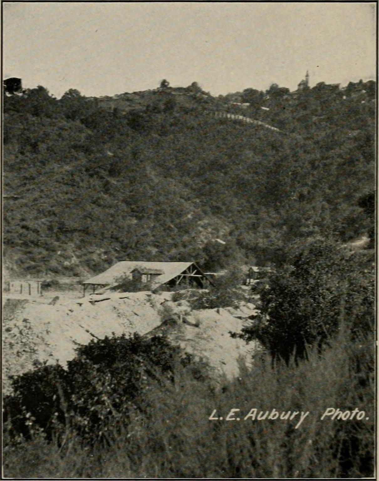
Representative spot and material photos from locations in this state, shown where verified public image records are available.
Map showing 97 rockhounding spots in California
Counts reflect how many spots in this list mention each mineral.
Notable areas: Big Sur jade, Mojave jasper, blue chalcedony, gold panning, and limited benitoite access are common California search terms.
California's collecting reflects its tectonic complexity. The Mojave's Tertiary volcanics produce agate, jasper, and chalcedony. The Sierra Nevada foothills hold the Mother Lode gold belt and its associated quartz, schist, and mariposite. The Coast Ranges expose serpentinite and the Franciscan complex — host to jade, nephrite, and rare benitoite. The Klamath and Salmon Mountains contribute garnet schist, gold, and platinum-group placers.
Wiley Well, Hauser, Black Hills geode beds, Cady Mountains agate, fire agate at Saddleback Butte vicinity, and jasper across BLM lands east of Barstow.
Recreational gold panning on the American, Yuba, Feather, and Mokelumne rivers; mariposite, quartz crystals, and copper minerals in old mine dumps. Stick to legal access points — much of the river bank is private or claimed.
Big Sur jade picked from the surf at Jade Cove — hand collecting only below the mean high-tide line within the Monterey Bay National Marine Sanctuary boundaries.
Beach agates, jade, and serpentine; rough country with active mining claims. The benitoite type locality in San Benito County is closed to public collecting.
Mojave: October through April. Sierra rivers: late summer through early fall when water is low. North Coast and Big Sur jade: year-round, with fresh material most likely after winter storms move gravel and nephrite in the surf.
Mojave desert: gallon-per-person water minimum, spare tire, paper map, sun protection. Mother Lode: classifier, sluice box (legal restrictions apply — see CDFW dredging rules), and recreational gold pan. Jade Cove: snorkel or wade gear and a mesh bag.
The 1849 California Gold Rush shaped mineral collecting across the West. Big Sur jade became better known in the 1970s, when divers and beach pickers began bringing nephrite out of the surf; the Big Sur Jade Festival still marks that local history.
Day-trip range. Each section lists the closest mapped rockhounding spots within about 150 miles of the city — most are inside a 2 to 3 hour drive.
6 closest spots to Los Angeles, CA.
6 closest spots to San Diego, CA.
6 closest spots to San Francisco, CA.
Geology rarely respects state borders. These states share mapped rockhounding country with California — useful when California is the start, not the whole trip. Each card links to the closest county across the line.
County pages are linked once we have at least 3 mapped spots for a focused guide with coordinates, mineral notes, and nearby spots.
Hand-picked standouts from the California list, chosen for unusual mineralogy, documented public access, or both. Each card links to coordinates, access notes, and what to look for.
Siskiyou County
Happy Camp gives the top-10 list a Klamath Mountains jade and gold locality rather than another Mojave silica field. Mindat records ferro-actinolite-tremolite series material at the Chan Jade Mine and placer native gold from the Happy Camp region, which fits the area's serpentinite and historic placer-mining setting.
Jade, Gold, Serpentine, Gold-laced Jade
 Top pick
Trinity County
The Trinity River is a north-state benchmark because it combines historic placer-gold country with Klamath Mountains metamorphic and ultramafic source rocks. USGS mapping documents the basin's complex bedrock setting, while the RockHoundR candidate minerals add chalcedony, jasper, jade, and petrified wood to the river's placer-gold identity.
Chalcedony, Gold, Jasper, Jade
 Top pick
Siskiyou County
Glass Mountain represents California's northern volcanic-glass collecting better than any ordinary agate wash, with Forest Service materials identifying designated obsidian collecting areas in the Modoc country. Mindat's Siskiyou County records place Glass Mountain and Little Glass Mountain among mapped pumice and obsidian-related localities, tying the material directly to young Cascade volcanism.
Obsidian
Fresno County
Jacolitos Canyon adds a Coast Range sedimentary and fossil-bearing locality to a list otherwise dominated by volcanic glass, agate, jade, and gold. USGS work on the Coalinga district documents the Jacalitos fossil context, while the candidate record makes the site useful for jasper, petrified wood, and fossilized coral on lawful public ground.
Jasper, Petrified Wood, Fossilized Coral
 Top pick
Santa Clara County
New Almaden is not just a cinnabar stop, it is one of California's classic mercury districts, hosted in altered serpentinite and silica-carbonate rock. Mindat records cinnabar, native mercury, metacinnabar, apophyllite, gyrolite, chalcedony, and opal, while USGS Professional Paper 360 makes the district one of the state's best documented quicksilver localities.
Chert, Cinnabar, Apophyllite, Gyrolite
 Top pick
Monterey County
Big Sur is California's clearest public jade locality because sanctuary rules specifically allow loose nephrite collection in the Jade Cove authorized area below mean high tide. Mindat records jade and nephrite at Big Sur, and Los Padres National Forest planning documents note historic jade collecting around Plaskett Creek, Jade Cove, Willow Creek, and offshore.
Jade, Nephrite, Serpentine
Riverside County
The Wiley Well and Mule Mountains area is one of California's best documented public desert collecting districts, with BLM specifically identifying the Wiley Well District Geode Beds for rockhounding. Mindat records nearby fire agate, chalcedony, agate, amethyst, quartz, and opal, giving the area more mineral range than a single-specimen stop.
Chalcedony, Fire Agate
 Top pick
San Bernardino County
Afton Canyon pairs documented BLM rockhounding access with a strong Mojave silica suite: Mindat lists opal, opalite, chalcedony, plume agate, agate-jasper, petrified wood, and jasper in the canyon area. The locality also has unusual field context because the Mojave River flows above ground here year-round, cutting through one of the region's more recognizable volcanic and sedimentary exposures.
Opalite, Jasper
Kern County
The El Paso Mountains stand out because BLM identifies the area as a place where rock hounds find material among dark volcanic mesas, red buttes, and fossil-bearing badlands. Mindat ties the range and its Last Chance Canyon localities to agate-jasper, opal, gold, and petrified wood, a compact record of Mojave volcanic and sedimentary collecting.
Agate, Opal, Jasper, Gold
Kern County
Gem Hill is a focused Kern County silica locality, with Mindat recording agate, chalcedony, iris agate, jasper, petrified wood, native gold, and uranium minerals nearby. Its appeal is the Rosamond Hills mix of lapidary material and desert mineralization, but claim and parcel checks matter because the district has a long mining history.
Agate, Chalcedony, Jasper, Uraninite
Sorted by county. Tap coordinates to open in Google Maps, or open RockHoundR for the full map view with land overlays and weather.
Open the RockHoundR app to see California on a real map with public land overlays, weather, geology, and your saved finds.
