Interactive Rockhounding Map
Every rockhounding spot on one map. Filter 2,884 mapped locations across 48 U.S. states by mineral, state, and land access (public, paid, or permission-required), and tap any pin for coordinates and the full spot page.
Looking for everything in one state or one mineral? Browse spots by state or where to find rocks & minerals.
Popular rockhounding states
Each state page lists every mapped spot, top minerals, county breakdowns, and public-land notes.
- Rockhounding in Oregon72 spots · 22 counties
- Rockhounding in Utah246 spots · 29 counties
- Rockhounding in Arizona52 spots · 6 counties
- Rockhounding in California97 spots · 22 counties
- Rockhounding in Arkansas32 spots · 7 counties
- Rockhounding in Nevada118 spots · 16 counties
- Rockhounding in North Carolina198 spots · 56 counties
- Rockhounding in Texas85 spots · 46 counties
- Rockhounding in New Mexico119 spots · 26 counties
- Rockhounding in Wyoming82 spots · 19 counties
- Rockhounding in Montana87 spots · 30 counties
- Rockhounding in Idaho114 spots · 33 counties
Popular minerals to find
Per-mineral pages show the best states, mapped concentrations, and identification tips.
- Where to find agate374 spots · 12 states
- Where to find petrified wood163 spots · 12 states
- Where to find quartz445 spots · 12 states
- Where to find jasper347 spots · 12 states
- Where to find amethyst133 spots · 12 states
- Where to find obsidian15 spots · 5 states
- Where to find garnet191 spots · 12 states
- Where to find opal44 spots · 12 states
- Where to find fossils90 spots · 12 states
- Where to find fluorite121 spots · 12 states
- Where to find tourmaline79 spots · 12 states
Best rockhounding spots
107 hand-picked
A short list of standout spots from the map above, chosen for unusual mineralogy, documented public access, or both. Each card opens the full coordinates and access notes.
 Top pick
San Domingo Wash
PublicMaricopa County, Arizona
San Domingo Wash is a documented Au-Pt placer district in the western foothills of the Wickenburg Mountains, with Mindat and USGS-derived records tying the gold to stream-placer concentration. It stands out for Phoenix-area collectors because the target is a named historic placer system, not scattered speculative gold ground.
Gold
 Top pick
Neptune Mine near Grays Spring
PublicPima County, Arizona
Neptune Mine is a focused Arizona fluorite locality, with Mindat and MRDS records describing a former fluorspar mine where fluorite occurs in lenses and stringers along a schist-granite contact zone. The site adds mineral diversity to the Arizona list because it is a documented industrial-mineral occurrence rather than another chalcedony or placer-gold wash.
Fluorite
 Top pick
Red Rover mine
PublicMaricopa County, Arizona
Red Rover is a compact Cave Creek district copper-silver stop, with Mindat listing chalcocite and tetrahedrite-group minerals and Western Mining History tying the mine to copper, silver, and gold. It is notable because those sulfide minerals give the Maricopa County list a real ore-mineral locality, not just agate, jasper, and quartz float.
Chalcocite, Tetrahedrite
 Top pick
1 mi. N of old Three-Way drive-in theater
PublicGreenlee County, Arizona
Black Hills is one of Arizona's clearest public fire-agate localities, with BLM stating that fire agate is the principal attraction and that the site is open for public digging without fees or permits. The locality stands out because the collecting target is specific, chalcedony with opal-like color play in volcanic deposits, and the land manager publishes both access and collecting context.
Fire Agate, Chalcedony
 Top pick
York Area
PublicGreenlee County, Arizona
Fire agate is the reason the York and Duncan country earns the first Arizona slot: BLM identifies the nearby Round Mountain area as a public rockhounding destination, and its Arizona brochure lists fire agate as a notable Safford Field Office gemstone. The broader York area adds banded agate, carnelian, and jasper, so the site represents southeastern Arizona's volcanic chalcedony ground rather than a single-mine specimen stop.
Fire Agate, Banded Agate, Carnelian, Jasper
 Top pick
Kingman Feldspar Mine
PublicMohave County, Arizona
Kingman Feldspar Mine represents northwestern Arizona pegmatite collecting, with documented feldspar-quartz workings and rare-earth allanite from the Kingman area. It rounds out the top 10 because the mineral suite, microcline, quartz, and allanite, is geologically different from Arizona's better-known fire agate, turquoise, and placer-gold localities.
Allanite, Microcline, Quartz
 Top pick
Area near Meadow Creek Pass
PublicMohave County, Arizona
Meadow Creek Pass belongs to the same western Arizona volcanic-desert collecting belt that gives Mohave County its agate, chalcedony, jasper, and fire-agate reputation. It earns a place because the material suite is broader than a single color of agate, while BLM's Arizona guidance specifically flags fire agate on Kingman Field Office public lands.
Fire Agate, Grape Agate, Chalcedony, Jasper
 Top pick
On surface around Rich Hill
PublicYavapai County, Arizona
Rich Hill is Arizona's benchmark coarse-gold placer, documented by USGS as part of the Weaver district and by later geochemical work for nugget-rich placer units. Its importance is not just production history: the locality is specifically known for surface and shallow placer gold concentrated around Rich Hill, Antelope Creek, and Weaver Creek.
Gold Nugget
 Top pick
Under Burro Creek Bridge
PublicMohave County, Arizona
Burro Creek is a Mohave County agate landmark, with Mindat recording both the Burro Creek agate occurrence and agate in the Lower Burro Creek Wilderness Area. The site is especially useful for lapidary collectors because the material is colorful chalcedony-family float tied to a well-known BLM desert drainage, not a vague county-wide agate listing.
Pink Agate
 Top pick
Area around Diamond Point Lookout
PublicGila County, Arizona
Diamond Point is a managed Forest Service crystal site where clear, doubly terminated quartz crystals weather out of cavities in the Devonian Martin Formation. The combination of published geology, a defined 35-acre collection area, and a 10-pound-per-person daily limit makes it one of Arizona's strongest legal quartz localities.
Quartz
 Top pick
Unnamed Location (Magnet Cove area)
PublicHot Spring County, Arkansas
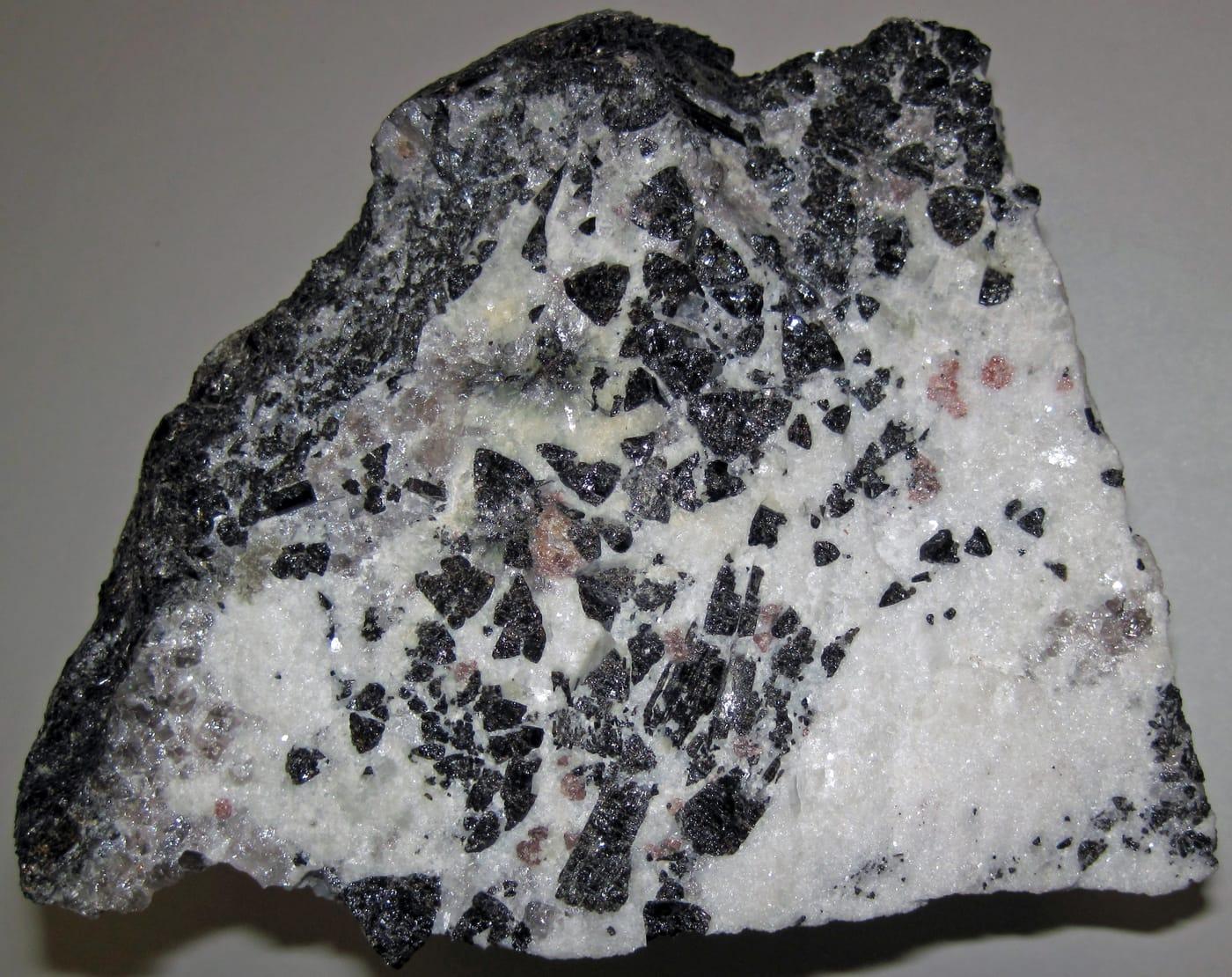
Magnet Cove is a classic alkaline igneous complex, noted in USGS work for nepheline syenite, carbonatite, and titanium-bearing minerals such as perovskite and titanite. Its unusual Cretaceous intrusive rocks make this small Hot Spring County area one of Arkansas's most mineralogically distinctive collecting districts.
Sphene, Nepheline Syenite
 Top pick
Cove Creek Bridge
PublicHot Spring County, Arkansas
Kimzeyite and perovskite give the Cove Creek Bridge area its weight: Perovskite Hill and the nearby Kimzey carbonatite localities are documented Magnet Cove occurrences rather than generic creek gravel. The appeal is the chance to study loose material tied to Arkansas's alkaline-carbonatite complex, where apatite, magnetite, monticellite, and zirconium-bearing garnet occur in a tight geologic setting.
Apatite, Monticellite, Magnetite, Perovskite
 Top pick
Wegner Quartz Mines
PublicMontgomery County, Arkansas
Clear hydrothermal quartz is the draw here, part of the Ouachita Mountain quartz belt that USGS and the Arkansas Geological Survey describe as one of western Arkansas's signature mineral resources. The Mount Ida area is especially useful because quartz-bearing veins and crystal pockets occur close to established digging operations.
Quartz
 Top pick
Mount Ida
PublicMontgomery County, Arkansas
Mount Ida sits in the heart of Arkansas's Ouachita quartz province, where hot fluids moved through fractured Paleozoic sandstone, shale, and chert to form crystal-bearing veins. That regional geology, documented by USGS and the Arkansas Geological Survey, is why the area remains the state's clearest benchmark locality for rock crystal collecting.
Quartz
 Top pick
Unnamed Quarry (Wavellite)
PublicMontgomery County, Arkansas
Mauldin Mountain wavellite is not an interchangeable green phosphate, Mindat and Arkansas Geological Survey references tie the quarries to botryoidal wavellite, variscite, planerite, and related phosphate minerals. The locality stands out because the best material shows radial, spherical aggregates that make the Montgomery County occurrence recognizable in collections.
Wavellite
 Top pick
Crater of Diamonds State Park
PublicPike County, Arkansas
Crater of Diamonds is exceptional because visitors search the eroded surface of a diamond-bearing Prairie Creek lamproite and may keep diamonds and other minerals they find. Arkansas State Parks and the Arkansas Geological Survey both document the park's volcanic pipe, its 37-acre search field, and its companion minerals, including amethyst, garnet, jasper, and agate.
Diamond, Amethyst, Garnet, Jasper
 Top pick
Prairie Creek
PublicPike County, Arkansas
Prairie Creek is the geologic source behind the Crater of Diamonds field, a lamproite diatreme with diamonds plus mantle and alteration minerals such as chrome diopside, epidote, garnet, hematite, and amethyst. Its value as a rockhounding landmark comes from that rare volcanic pipe, not from ordinary stream gravel.
Amethyst, Diopside, Epidote, Garnet
 Top pick
Yellville Mines
PublicMarion County, Arkansas
Yellville belongs to north Arkansas's historic lead-zinc belt, where Arkansas Geological Survey summaries record galena, sphalerite, and smithsonite production from Marion County and nearby Ozark districts. The mine-dump setting is notable because it exposes a compact suite of sulfide and carbonate zinc minerals in a state better known to many collectors for quartz and diamonds.
Galena, Pyrite, Smithsonite, Sphalerite
 Top pick
Lake Catherine (South Side)
PublicGarland County, Arkansas
The south side of Lake Catherine is tied to Garland County fluorite occurrences noted in Arkansas Geological Survey mineral-deposit reports and Mindat locality records. That makes the site a focused stop for a single, recognizable mineral rather than a broad mixed-gravel locality.
Fluorite
 Top pick
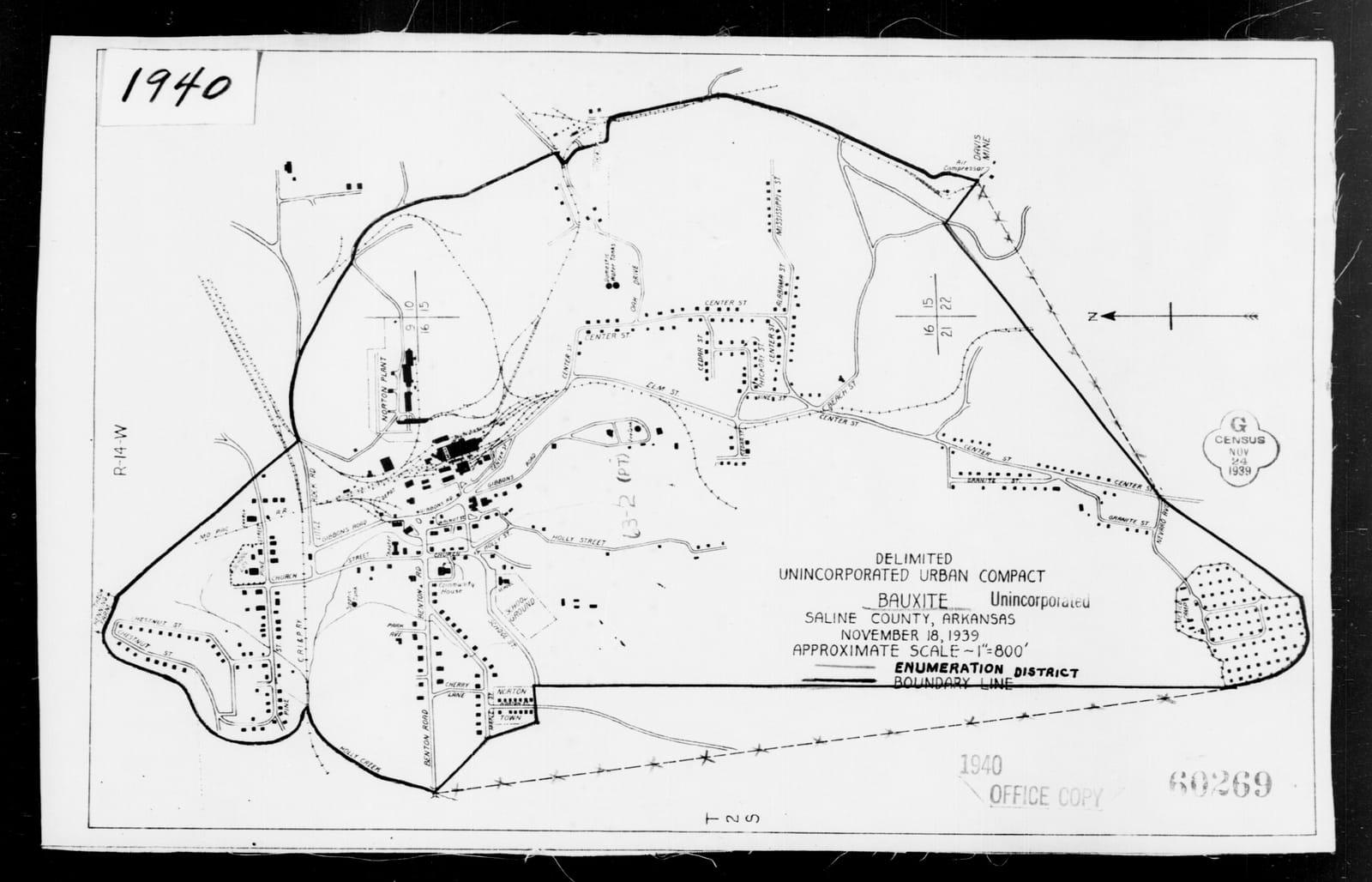
Bauxite Quarries
PublicSaline County, Arkansas
Saline County is one of the two districts in the Arkansas bauxite region, a roughly 275-square-mile belt described by the Arkansas Geological Survey and USGS as the state's historic aluminum-ore province. The quarries stand out because the material is tied to weathered syenite and related intrusive rocks rather than ordinary clay or ironstone.
Bauxite, Heliotrope Bauxite
- No photoTop pick
Happy Camp Jade Mines
PublicSiskiyou County, California
Happy Camp gives the top-10 list a Klamath Mountains jade and gold locality rather than another Mojave silica field. Mindat records ferro-actinolite-tremolite series material at the Chan Jade Mine and placer native gold from the Happy Camp region, which fits the area's serpentinite and historic placer-mining setting.
Jade, Gold, Serpentine, Gold-laced Jade
 Top pick
Trinity River
PublicTrinity County, California
The Trinity River is a north-state benchmark because it combines historic placer-gold country with Klamath Mountains metamorphic and ultramafic source rocks. USGS mapping documents the basin's complex bedrock setting, while the RockHoundR candidate minerals add chalcedony, jasper, jade, and petrified wood to the river's placer-gold identity.
Chalcedony, Gold, Jasper, Jade
 Top pick
Glass Mountain
PublicSiskiyou County, California
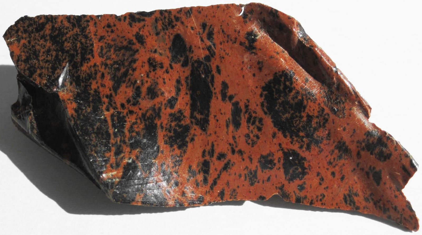
Glass Mountain represents California's northern volcanic-glass collecting better than any ordinary agate wash, with Forest Service materials identifying designated obsidian collecting areas in the Modoc country. Mindat's Siskiyou County records place Glass Mountain and Little Glass Mountain among mapped pumice and obsidian-related localities, tying the material directly to young Cascade volcanism.
Obsidian
- No photoTop pick
Jacolitos Canyon
PublicFresno County, California
Jacolitos Canyon adds a Coast Range sedimentary and fossil-bearing locality to a list otherwise dominated by volcanic glass, agate, jade, and gold. USGS work on the Coalinga district documents the Jacalitos fossil context, while the candidate record makes the site useful for jasper, petrified wood, and fossilized coral on lawful public ground.
Jasper, Petrified Wood, Fossilized Coral
 Top pick
New Almaden Area Mines
PublicSanta Clara County, California
New Almaden is not just a cinnabar stop, it is one of California's classic mercury districts, hosted in altered serpentinite and silica-carbonate rock. Mindat records cinnabar, native mercury, metacinnabar, apophyllite, gyrolite, chalcedony, and opal, while USGS Professional Paper 360 makes the district one of the state's best documented quicksilver localities.
Chert, Cinnabar, Apophyllite, Gyrolite
 Top pick
Big Sur area
PublicMonterey County, California
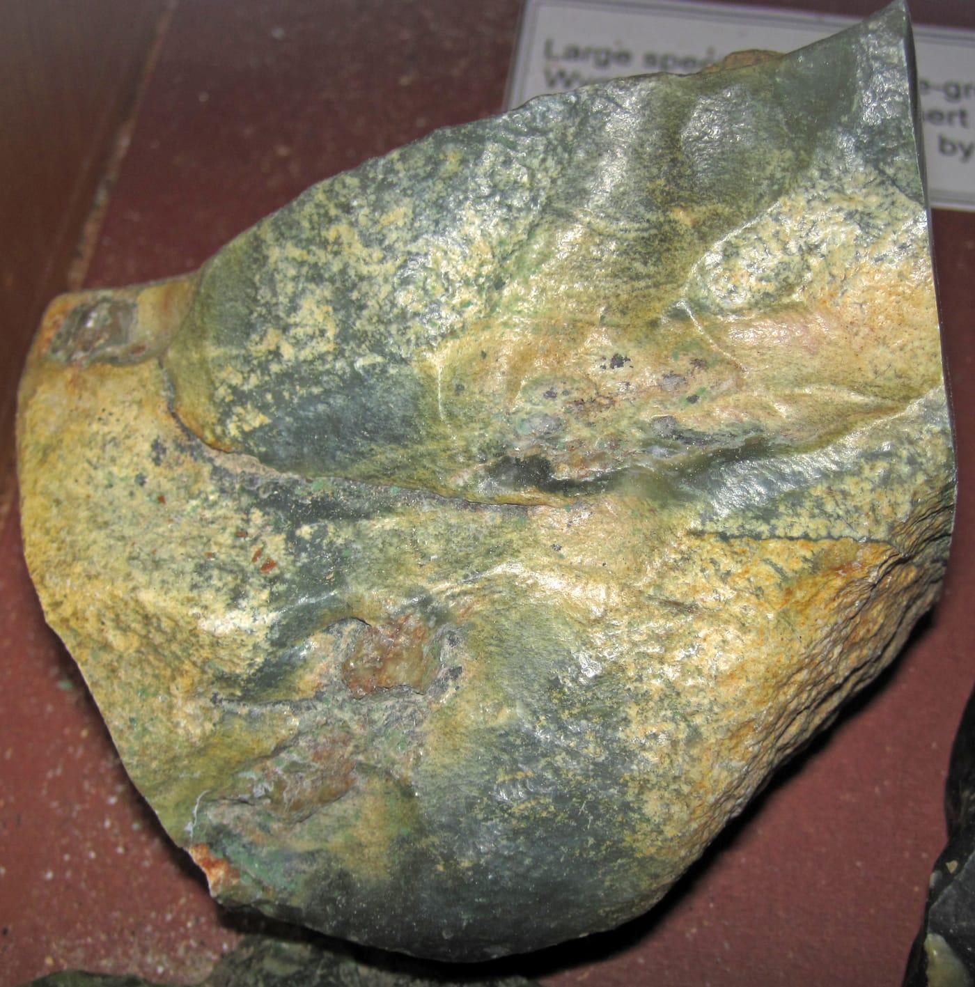
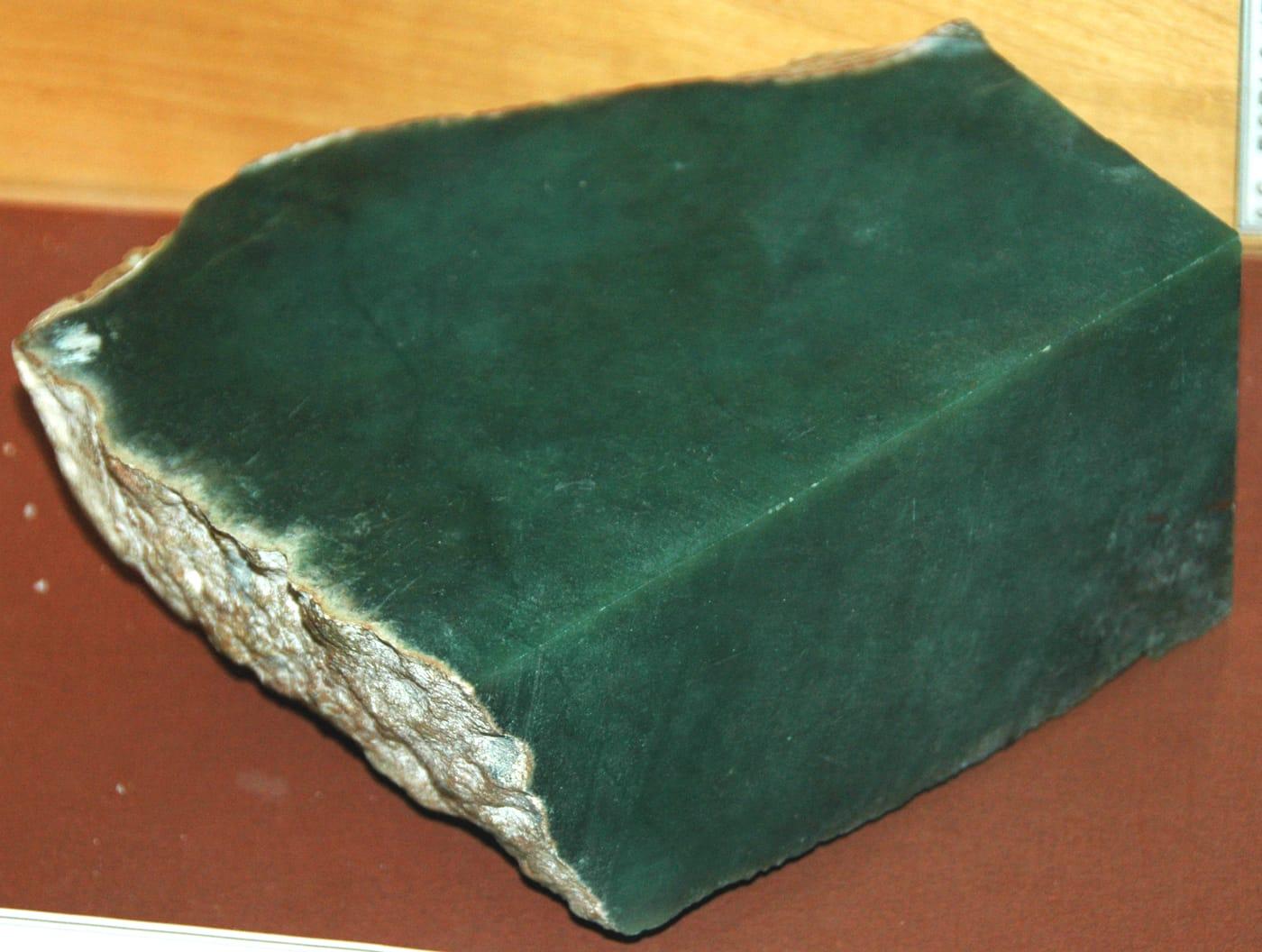
Big Sur is California's clearest public jade locality because sanctuary rules specifically allow loose nephrite collection in the Jade Cove authorized area below mean high tide. Mindat records jade and nephrite at Big Sur, and Los Padres National Forest planning documents note historic jade collecting around Plaskett Creek, Jade Cove, Willow Creek, and offshore.
Jade, Nephrite, Serpentine
- No photoTop pick
Unnamed Location (Fire Agate)
PublicRiverside County, California
The Wiley Well and Mule Mountains area is one of California's best documented public desert collecting districts, with BLM specifically identifying the Wiley Well District Geode Beds for rockhounding. Mindat records nearby fire agate, chalcedony, agate, amethyst, quartz, and opal, giving the area more mineral range than a single-specimen stop.
Chalcedony, Fire Agate
 Top pick
Afton Canyon
PublicSan Bernardino County, California
Afton Canyon pairs documented BLM rockhounding access with a strong Mojave silica suite: Mindat lists opal, opalite, chalcedony, plume agate, agate-jasper, petrified wood, and jasper in the canyon area. The locality also has unusual field context because the Mojave River flows above ground here year-round, cutting through one of the region's more recognizable volcanic and sedimentary exposures.
Opalite, Jasper
- No photoTop pick
El Paso Mountains
PublicKern County, California
The El Paso Mountains stand out because BLM identifies the area as a place where rock hounds find material among dark volcanic mesas, red buttes, and fossil-bearing badlands. Mindat ties the range and its Last Chance Canyon localities to agate-jasper, opal, gold, and petrified wood, a compact record of Mojave volcanic and sedimentary collecting.
Agate, Opal, Jasper, Gold
- No photoTop pick
Gem Hill
PublicKern County, California
Gem Hill is a focused Kern County silica locality, with Mindat recording agate, chalcedony, iris agate, jasper, petrified wood, native gold, and uranium minerals nearby. Its appeal is the Rosamond Hills mix of lapidary material and desert mineralization, but claim and parcel checks matter because the district has a long mining history.
Agate, Chalcedony, Jasper, Uraninite
 Top pick
Emerald Creek
PublicShoshone County, Idaho
Emerald Creek is Idaho's signature public star-garnet locality, with the Forest Service noting that commercial quantities of star garnet are otherwise known only from India. The managed sluice area gives collectors a rare legal way to search for dodecahedral almandine garnets while keeping digging out of the streambed.
Almandine Garnet
 Top pick
Idaho City
PublicBoise County, Idaho
Idaho City anchors the Boise Basin, one of Idaho's best-documented historic placer-gold regions. USGS publications identify the basin northeast of Boise as a major dredging and placer area, and nearby Grimes Pass district records add quartz and gold mineral context for modern, land-status-aware panning and prospecting.
Quartz, Garnet
 Top pick
Bruneau Canyon
PublicOwyhee County, Idaho
Bruneau Canyon stands out for Bruneau jasper, the orbicular and scenic jasper variety tied to the Bruneau River canyon in Owyhee County. Idaho Department of Lands lists Bruneau jasper about 50 road miles south of Bruneau, and Mindat treats the canyon deposits as a named locality, making it one of the state's most recognizable lapidary sources.
Bruneau Canyon Jasper
 Top pick
Seven Devils Mining District
PublicAdams County, Idaho
Seven Devils is a classic Idaho skarn and copper district, where Idaho Geological Survey maps and reports emphasize limestone-garnet belts, copper deposits, and lime-silicate minerals. For collectors, that translates into a broader mineral suite than most Idaho sites: garnet, epidote, malachite, zoisite, and related contact-metamorphic material.
Epidote, Red Garnet, Pink Garnet, Malachite
 Top pick
Challis
PublicCuster County, Idaho
Challis represents the Challis Volcanics better than a single protected petrified-forest stop, with Idaho Department of Lands listing nearby red agate, banded opal, and petrified-wood localities in Custer County. Mindat records opal from the Challis area and documents agate collecting in the same volcanic province, which makes it a practical tenth pick for silica collectors.
Red Agate, Banded Opal
 Top pick
Dismal Swamp
PublicElmore County, Idaho
Dismal Swamp is a focused Elmore County locality for smoky quartz and topaz, both listed for the area by Idaho Department of Lands and Mindat. It is a more mineral-specimen-oriented choice than many Idaho agate fields, with quartz-family collecting tied to the Rocky Bar mining district and nearby granitic terrain.
Smoky Quartz, Topaz
 Top pick
Succor Creek
PublicOwyhee County, Idaho
Succor Creek is one of the clearest public names in Owyhee agate collecting, especially for red-and-green nodules and thunderegg-style cavities. Idaho Department of Lands calls out the eastern fringe of Succor Creek specifically, and the broader Owyhee volcanic field gives the site the silica-rich source rocks behind its agate and jasper float.
Red Agate, Green Agate
 Top pick
Mackay
PublicCuster County, Idaho
Mackay is the best Custer County mine-district pick for copper minerals, with Mindat documenting malachite and related species across the Alder Creek and White Knob district. Idaho Department of Lands also lists Custer County districts for azurite, malachite, and other base-metal minerals, so the site has stronger mineral documentation than a generic scenic stop.
Azurite, Chalcopyrite, Chrysocolla, Malachite
 Top pick
Little Wood River
PublicBlaine County, Idaho
Little Wood River is the strongest Blaine County pick because the same drainage is listed for green and moss agate by Idaho Department of Lands and has Mindat specimen records from the Little Wood Reservoir area. Its agate, chalcedony, and jasper add a useful south-central Idaho counterpoint to the better-known Owyhee localities.
Agate, Chalcedony, Jasper
 Top pick
Parker Mountain
PublicLemhi County, Idaho
Parker Mountain gives Lemhi County a documented agate and chalcedony locality outside the crowded southern Idaho fields. Idaho Department of Lands lists green and green-moss agate near Parker Mountain, while Mindat records agate and chalcedony within the Parker Mountain mining district mineral list.
Agate, Chalcedony
- No photoTop pick
Calvert Hill Mine
PublicBeaverhead County, Montana
Calvert Hill Mine adds a tungsten-skarn flavor to the Montana list, with Mindat describing a surface mine in Cambrian Meagher Formation limestone and listing scheelite, garnet, beryl var. aquamarine, chalcopyrite, molybdenite, pyrite, and smoky quartz in the district. That mineral spread makes it a stronger educational pick than another agate bar from the same river system.
Scheelite, Garnet, Aquamarine, Tungsten
- No photoTop pick
Rock Creek
PublicGranite County, Montana
Rock Creek is one of Montana's four classic sapphire districts, documented by USGS and GIA alongside the Missouri River, Dry Cottonwood Creek, and Yogo Gulch. Mindat records corundum, sapphire, ruby, garnet, hematite, kyanite, magnetite, and rutile from the district, giving the locality more mineral context than a simple gem-gravel stop.
Quartz, Sapphire
- No photoTop pick
Ruby River
PublicMadison County, Montana
Ruby River is Montana's clearest garnet-focused pick in this candidate set, with nearby Mindat records listing almandine and broader Madison County garnet occurrences. Its appeal is narrow but strong: a recognizable metamorphic and placer-derived garnet target in a state otherwise dominated in popular collecting by sapphire and agate.
Almandine Garnet
- No photoTop pick
Dry Cottonwood Creek
PublicDeer Lodge County, Montana
Dry Cottonwood Creek is one of the historic Montana sapphire fields named by USGS and GIA, discovered after the Missouri River bars and before Rock Creek and Yogo Gulch. It is less accessible and less active than some better-known sapphire districts, but that documented place in the state's corundum history makes it too important to omit.
Sapphire
- No photoTop pick
Crystal Mountain Mine
PublicRavalli County, Montana
Crystal Mountain Mine is a focused fluorite locality, with Mindat tying the Ravalli County site to the Crystal Mountain Fluorspar Mine and listing fluorite with quartz and accessory phosphate and silicate minerals nearby. The spot broadens Montana's top list beyond sapphire, agate, and historic base-metal districts with a clear single-mineral identity.
White Fluorite, Green Fluorite, Purple Fluorite
 Top pick
Butte
PublicSilver Bow County, Montana
Butte is Montana's heavyweight ore-mineral locality, with MBMG and USGS work documenting complex copper, silver, manganese, and related vein mineralogy in the district. For collectors, the draw is not ordinary float but classic species tied to the Butte lodes, including bornite and rhodochrosite in a district with national-scale mining history.
Bornite, Pisanite, Rhodochrosite, Rhodonite
- No photoTop pick
Pryor Mountains
PublicBig Horn County, Montana
The Pryor Mountains stand out for Dryhead-style agate, with Mindat listing agate and chalcedony from the range and a named Dryhead Agate Mine in the Bighorn River area. The same Big Horn County country also carries fossil-bearing sedimentary units, so the locality needs careful land-status and fossil-rule checks rather than casual blanket collecting.
Fossils, Agate, Chalcedony, Jasper
 Top pick
American Bar
PublicLewis and Clark County, Montana
American Bar belongs to the upper Missouri River sapphire province, where GIA traces gem-quality sapphire mining back to 1865. The associated heavy-mineral suite, including cassiterite, garnet, kyanite, topaz, gold, and chalcedony, makes the Missouri River bars one of Montana's most mineralogically varied placer settings.
Sapphire, Cassiterite, Chalcedony, Garnet
 Top pick
Yellowstone River (Billings area)
PublicYellowstone County, Montana
The Billings reach of the Yellowstone River is a benchmark Montana agate setting, where river gravels carry chalcedony, jasper, chert, and dendritic moss agate. Mindat records agate from Yellowstone County, and regional visitor and BLM guidance both point collectors toward public-land surface collecting rather than quarry or fee-pit material.
Montana Agate, Chalcedony, Chert, Jasper
- No photoTop pick
Glendive
PublicDawson County, Montana
Glendive sits in eastern Montana's Yellowstone River agate belt, where gravel bars and nearby breaks are known for agate, jasper, and petrified-wood style silica material. The site earns its place because it represents the downstream end of the Montana agate story, where long river transport has already sorted and rounded much of the collectible material.
Agate, Jasper, Moss Opal
 Top pick
Virgin Valley
PublicHumboldt County, Nevada
Virgin Valley is the United States' classic black-opal district, with USGS and Mindat both placing the opal field near the Oregon line in the Sheldon refuge country. Its strongest geologic feature is opal replacing mid-Miocene wood, including petrified wood and rare plant material, although most precious-opal ground is claimed and any collecting has to respect mining and refuge restrictions.
Agate, Chalcedony, Chert, Flint
 Top pick
Black Rock Desert
PublicPershing County, Nevada
Black Rock Desert belongs on the list because the collecting context is an enormous BLM-managed volcanic and basin landscape rather than a single small pit. Local rockhounding guidance for Black Rock-High Rock country highlights minerals, common fossils, and petrified wood rules, while BLM documents the area's national conservation status and broad public-land recreation framework.
Opalized Wood, Petrified Wood, Agate, Fire Opal
 Top pick
Garnet Hill
PublicWhite Pine County, Nevada
Garnet Hill is Nevada's clearest public rockhounding benchmark: BLM identifies it as the Ely District's designated rockhounding area, and Mindat ties the locality to almandine garnet in flow-banded rhyolite with lithophysae. The site stands out because its garnets are part of a documented volcanic setting, not an unnamed gravel patch, and access is organized around casual public collecting.
Garnet
- No photoTop pick
Fernley Hills
PublicLyon County, Nevada
Fernley Hills is a practical western Nevada silica stop, with Mindat records documenting agate, chalcedony, opal, quartz, and zeolite minerals in the Fernley area. It earns a place because the material is tied to a named locality close to Reno-Sparks access, while still requiring parcel and claim checks before collecting.
Agate, Chert, Jasper
- No photoTop pick
Lincoln Hill
PublicPershing County, Nevada
Lincoln Hill is unusually specific for a lapidary locality: Mindat and cited NBMG work document pink to lavender dumortierite in felsitic trachyte breccia, with quartz, andalusite, corundum, ganterite, and tourmaline in the same deposit. That focused borosilicate assemblage makes it a stronger pick than a generic Pershing County mining-district listing.
Blue Dumortierite, Pink Dumortierite
 Top pick
Coaldale
PublicEsmeralda County, Nevada
Coaldale is a useful Esmeralda County silica locality because the candidate data points to agate, chert, hyalite opal, jasper, and turquoise in a compact desert area. Mindat and NBMG district records help anchor the site in a named mining district, making it a better researched pick than a vague countywide agate listing.
Agate, Chert, Hyalite Opal, Jasper
 Top pick
Fish Lake Valley
PublicEsmeralda County, Nevada
Fish Lake Valley is notable for hot-spring mercury mineralization rather than ordinary desert float, with Mindat records describing opalized and silicified rhyolite-hosted rock carrying cinnabar and opal. The locality is a good Nevada example of silica-rich alteration, but mercury minerals and old workings make conservative collecting and hand-sample handling important.
Cinnabar, Opalite
 Top pick
Goldfield
PublicEsmeralda County, Nevada
Goldfield is one of Nevada's strongest mineralogical districts because Mindat documents a high-sulfidation quartz-alunite gold system with native gold, native silver, pyrite, alunite, tellurides, and several type-locality minerals. Its value for rockhounding research is the intensely altered volcanic-hosted setting, although the historic mine landscape demands careful attention to claims and mine hazards.
Alum, Pyrite, Quartz, Copper
 Top pick
San Antonio Mountains
PublicNye County, Nevada
The San Antonio Mountains add central Nevada range-scale diversity, with Mindat documenting a large Nye County assemblage that includes quartz, chalcedony, opal, fluorite, rhodochrosite, scheelite, sulfides, and several copper minerals. The dataset's jade, petrified wood, and wonderstone entry makes the area a lapidary contrast to nearby Tonopah and Goldfield metal districts, provided collecting stays on open public ground.
Jade, Petrified Wood, Wonderstone
- No photoTop pick
White Basin
PublicClark County, Nevada
White Basin stands apart from Nevada's silica and precious-metal localities because it is a borate occurrence, with Mindat listing ulexite, colemanite, gypsum, halite, and related evaporite minerals from the Muddy Mountains district. NBMG and USGS discussions of Muddy Mountains borates give the site a stronger geologic footing than a casual listing of 'TV rock.'
Ulexite
 Top pick
Zuni Mountains
PublicCibola County, New Mexico
The Zuni Mountains give New Mexico's top ten a western forest-and-public-land agate field rather than another southern mining district. The candidate data's agate, chalcedony, jasper, and petrified wood suite aligns with New Mexico Bureau of Geology rockhound guidance and published Rockhounding New Mexico locality coverage for the Gallup, Grants, and Zuni Mountains region.
Agate, Chalcedony, Jasper, Petrified Wood
 Top pick
Harding Pegmatite Mine
PublicTaos County, New Mexico
Harding Pegmatite Mine is a preserved lithium-beryllium-tantalum pegmatite where UNM still allows small personal collecting under posted rules. New Mexico Geological Society and USGS-derived records document lepidolite, spodumene, beryl, microlite, apatite, muscovite, quartz, and related rare-element pegmatite minerals, making it the state's clearest public window into a classic complex pegmatite.
Blue Apatite, Bityite, Eucryptite, Purple Lepidolite
 Top pick
Jemez National Recreation Area
PublicSandoval County, New Mexico
The Jemez National Recreation Area sits in one of New Mexico's most visible volcanic landscapes, within the Santa Fe National Forest's Jemez Ranger District. Forest Service materials document the managed public recreation area, and the National Park Service notes obsidian deposits on the edge of Bandelier and elsewhere in the Jemez Mountains, making this a strong northern New Mexico volcanic-glass entry.
Obsidian, Opalized Wood
- No photoTop pick
Mount Chalchihuitl
PublicSanta Fe County, New Mexico
Mount Chalchihuitl is tied to the Cerrillos turquoise district, one of New Mexico's defining prehistoric and historic turquoise sources. Mindat records turquoise for the Chalchihuitl Mine, and Cerrillos Hills plus New Mexico Geological Society references describe the hill as an important early turquoise-mining locality rather than a generic Santa Fe gravel stop.
Agate, Chalcedony, Petrified Wood, Turquoise
- No photoTop pick
Hatch
PublicDoña Ana County, New Mexico
Hatch is a useful southern New Mexico agate and jasper area because it represents the broad volcanic terrain around the Caballo and Hatch country, not a single pay-to-dig pit. BLM rules provide the public-land collecting framework, while New Mexico Bureau of Geology and established rockhounding guides list the area for agate, chalcedony, jasper, and quartz.
Agate, Chalcedony, Jasper, Quartz
 Top pick
Kilbourne Hole
PublicDoña Ana County, New Mexico
Kilbourne Hole is a BLM-managed maar crater and National Natural Landmark where volcanic bombs can contain bright olivine-rich interiors. BLM, Recreation.gov, and New Mexico Bureau of Geology rockhound material all point to its mantle xenolith and peridot appeal, a very different target from the state's agate and jasper localities.
Augite, Peridot
- No photoTop pick
Redrock
PublicGrant County, New Mexico
Redrock stands out for ricolite, the banded nonfibrous serpentine associated with the Ricolite district in the Burro Mountains. Mindat ties the Ash Creek Canyon quarry to the Ricolite district, and New Mexico Bureau of Geology industrial-minerals notes distinguish decorative ricolite from the state's minor asbestos occurrences.
Ricolite, Banded Serpentine
- No photoTop pick
Rockhound State Park
PublicLuna County, New Mexico
Rockhound State Park is unusual because it was set aside specifically for personal mineral collecting, with state-park rules allowing visitors to keep a limited amount of material. Recreation.gov, New Mexico State Parks, and the New Mexico Bureau of Geology describe its Little Florida Mountains setting and collectible jasper, agate, chalcedony, quartz, geodes, and thunderegg-style nodules.
Agate, Blue Chalcedony, Jasper
 Top pick
Kelly Ghost Town
PublicSocorro County, New Mexico
Kelly is a benchmark locality for blue smithsonite from the Magdalena mining district, with Mindat rating the species occurrence as world-class or very significant. USGS Professional Paper 200 anchors the district geology, while New Mexico Tourism documents the surviving ghost-town and headframe setting that makes the mineral locality recognizable on the ground.
Smithsonite, Zinc, Fossils
 Top pick
Fort Sumner
PublicDe Baca County, New Mexico
Fort Sumner represents the Pecos diamond belt, where the collectible material is doubly terminated authigenic quartz rather than true diamond. New Mexico Bureau of Geology publications tie these quartz and occasional dolomite crystals to Seven Rivers Formation and related Artesia Group outcrops, and Mindat records the De Baca County occurrence as a named Pecos diamond locality.
Quartz, Pecos Diamonds
 Top pick
Little Pine Garnet Mine
PublicMadison County, North Carolina
Little Pine is a focused almandine locality where Mindat records red garnets up to 6 inches in green chlorite schist, a scale that separates it from ordinary garnet-bearing roadcuts. NCGS collecting-site references and later geologic work tie the mine to unusual Mg- and Al-rich schists in the western Blue Ridge.
Garnet, Quartz, Chlorite
- No photoTop pick
Linville Mountain
PublicBurke County, North Carolina
Linville Mountain is a useful Burke County contrast because NCGS collecting-site maps call out itacolumite, a flexible quartzite, along with pyrophyllite and related metamorphic minerals. The site is less about gemstones and more about unusual Blue Ridge rock types exposed near public mountain roads.
Actinolite, Graphite, Manaccanite, Pyrophyllite
- No photoTop pick
Vengeance Creek
PublicCherokee County, North Carolina
Vengeance Creek is one of the better free Cherokee County entries for staurolite, with garnet, quartz, and calcite adding a compact metamorphic suite. It earns a place because the locality sits in the Nantahala National Forest collecting framework, where limited surface collecting is possible outside closed or sensitive areas.
Calcite, Garnet, Quartz, Staurolite
- No photoTop pick
Little Snowbird Mountains
PublicCherokee County, North Carolina
The Little Snowbird Mountains add chloritoid, ottrelite, staurolite, garnet, and gold to the western North Carolina set, a distinctly metamorphic association rather than another pegmatite stop. NCGS gold and collecting-site references place Cherokee County in the state's historic western gold and staurolite country, while National Forest rules provide the public-access framework.
Chloritoid, Ottrelite, Garnet, Gold
- No photoTop pick
Chunky Gal Mountain
PublicClay County, North Carolina
Chunky Gal Mountain stands out because the Buck Creek dunite body is a named mafic-ultramafic complex, not just a generic mountain roadcut. Historic Bureau of Mines work describes the Buck Creek corundum area as one of North Carolina's important corundum settings, and the public National Forest approach keeps it relevant for careful surface collecting.
Garnet, Staurolite
 Top pick
Opal Butte
PermissionMorrow County, Oregon
Opal Butte is noted for hyalite and several gem opal varieties, including rainbow, contra luz, hydrophane, crystal, fire, and blue opal. That range, documented in gemological literature and Mindat locality records, makes the permission-required Morrow County site one of Oregon's more distinctive opal occurrences.
Hyalite Opal
 Top pick
Succor Creek General Area
PublicMalheur County, Oregon
Succor Creek is a remote canyon locality where Oregon State Parks identifies a haven for rock hounds and DOGAMI lists agate, jasper, and related chalcedony-family material from the area. Its standout quality is the combination of high-desert volcanic scenery and collectible silica materials, including jasper, chalcedony, chert, and opalized wood.
Agate, Chalcedony, Chert, Jasper
 Top pick
White Fir Spring
PublicCrook County, Oregon
White Fir Spring is a public Ochoco National Forest thunderegg locality, with DOGAMI and Mindat records tying the site to agate- and jasper-filled nodules. It stands out because the Crook County material is strongly associated with jasper cores, a useful contrast to Oregon thunderegg beds dominated by clearer chalcedony.
Thundereggs
- No photoTop pick
Whistler Spring
PublicCrook County, Oregon
Whistler Spring is one of central Oregon's classic free National Forest thunderegg sites, listed by DOGAMI alongside White Fir in the Madras-Prineville rockhounding belt. The site is notable for accessible rhyolite-hosted nodules in Crook County's Ochoco country, a compact example of the geology behind Oregon's state rock.
Thundereggs
 Top pick
Glass Butte Recreational Rockhound Area
PublicLake County, Oregon
Glass Buttes is a rhyolite and obsidian complex with an unusually broad suite of gem-quality obsidian, including mahogany, rainbow, gold sheen, silver sheen, midnight lace, and other varieties documented by Oregon State University. The BLM-managed setting makes it one of Oregon's strongest public-land examples of volcanic glass collecting, with ordinary rockhounding rules still requiring attention to claims and local restrictions.
Obsidian
 Top pick
Agate Beach
PublicLincoln County, Oregon
Agate Beach is named for the agates found along the Newport and Yaquina Head shoreline, and Oregon Sea Grant notes that winter storms expose the gravel beds that supply beach agates. The site stands out because Oregon ocean-shore rules allow small noncommercial collection of agates and other nonliving natural products, making the access as important as the material.
Agate, Moonstone, Jasper, Chalcedony
 Top pick
Beach Area Yachats
PublicLincoln County, Oregon
The Yachats beach area sits on Oregon's central coast, where storm-reworked gravel can expose agate, chalcedony, jasper, and related beach material. Its strength is broad legal ocean-shore access for small noncommercial collecting, paired with a shoreline that is repeatedly refreshed by Pacific winter wave action.
Agate, Chalcedony, Jasper, Moonstone
- No photoTop pick
Corundum Hill
PublicMacon County, North Carolina
Corundum Hill belongs to the Cowee Valley ruby and sapphire belt, one of the classic eastern U.S. corundum districts described in early USGS work. The appeal is specific rather than general: pink, blue, and green corundum occurs with chromite and olivine in a named Macon County ultramafic setting.
Corundum, Ruby, Blue Sapphire, Green Sapphire
 Top pick
Burnsville
PublicYancey County, North Carolina
Ray Mine gives North Carolina a rare free public pegmatite locality, with Mindat documenting aquamarine, beryl, amazonite, muscovite, rutile, tourmaline, and other Spruce Pine district minerals. Its strength is the combination of a historically worked mica mine and Forest Service surface-collecting access, provided current closures and mine hazards are respected.
Albite, Amazonite, Apatite, Aquamarine
- No photoTop pick
Eldorado
PublicMontgomery County, North Carolina
Eldorado is the Uwharrie-region gold and base-metal pick, tied to the Carolina Slate Belt rather than the Blue Ridge gem belts. Gold, pyrite, sphalerite, smithsonite, malachite, and azurite give the area a compact mining-district mineral suite, with public-land collecting rules requiring close attention to old workings and ownership.
Azurite, Calcite, Gold, Malachite
- No photoTop pick
Danbury
PublicStokes County, North Carolina
Danbury is the best northern Piedmont silica stop in this set, with agate, carnelian, chalcedony, jasper, hyalite opal, hematite, and amethyst listed from the Stokes County area. It broadens the North Carolina top 10 beyond mines and pegmatites by representing the Sauratown Mountains' smaller but distinctive lapidary material.
Agate, Carnelian, Chalcedony, Jasper
- No photoTop pick
Island Creek
PublicVance County, North Carolina
Island Creek represents the Hamme tungsten district, where NCGS work identifies hubnerite-bearing veins with quartz, sericite, fluorite, and scheelite at the Tungsten Queen mine. That tungsten-fluorite-sulfide suite gives Vance County a very different collecting story from the Blue Ridge pegmatites and Macon County corundum fields.
Apatite, Chalcopyrite, Fluorite, Galena
 Top pick
Sweetwater River
PublicFremont County, Wyoming
Sweetwater agate is Wyoming's signature agate, and the Sweetwater River drainage is the classic field area tied to the Granite Mountains source terrain. WSGS publications describe Sweetwater material among the state's better-known agates, while BLM rules make casual surface collecting possible on open public parcels when claims and ownership are checked first.
Agate
 Top pick
Atlantic City
PublicFremont County, Wyoming
Atlantic City sits in the South Pass country, where Wyoming's gold-mining history overlaps with the central Wyoming jade and agate belt. The mix of quartz, muscovite, tourmaline, jasper, chalcedony, and nephrite makes it a broader hard-rock and float locality than the single-material Sweetwater agate stops nearby.
Agate, Chalcedony, Gold, Nephrite Jade
 Top pick
Warm Springs
PublicFremont County, Wyoming
Warm Springs is a strong Granite Mountains-area pick because it combines Wyoming jade targets with agate, jasper, chalcedony, quartz, and silicified wood in one public-land collecting corridor. WSGS identifies jade as Wyoming's best-known gemstone and also lists agate, petrified wood, and quartz crystals among the state's important collector materials.
Agate, Chalcedony, Jasper, Jade
 Top pick
Kirwin Mine
PublicPark County, Wyoming
Kirwin is the strongest metallic-mineral contrast to Wyoming's agate and wood localities, with USGS work documenting the district's copper, gold, lead, zinc, molybdenum, and silver mineralization. The specimen suite, including chalcopyrite, galena, sphalerite, pyrite, quartz, azurite, and malachite, makes it a focused historic mining-district stop rather than another chalcedony field.
Azurite, Barite, Chalcopyrite, Cuprite
 Top pick
Eden Valley
PublicSweetwater County, Wyoming
Eden Valley is the Wyoming benchmark for silicified and agatized wood, with Mindat records tying petrified wood to Eden Valley and the Blue Forest area. It also has unusually clear legal framing, since BLM specifically allows limited personal-use petrified wood collecting on open public land while keeping fossil and commercial-use rules separate.
Silicified Wood
 Top pick
Wamsutter
PublicSweetwater County, Wyoming
Wamsutter is the practical Wyoming stop for dark fossiliferous lapidary material sold as Turritella agate, more accurately tied to silicified Green River Formation gastropods. The locality stands out because the material is both fossil-rich and polishable, but BLM fossil rules still matter because vertebrate fossils and scientifically significant specimens are not casual-collecting targets.
Turritella Agate
 Top pick
Kemmerer
PublicLincoln County, Wyoming
Kemmerer anchors the western Green River Formation belt, where public-land outcrops and gravels can yield chert, chalcedony, jasper, silicified wood, and fossiliferous lapidary stone. It is included separately from the paid fossil-fish quarries because the best free collecting value is common lapidary material on verified public parcels, not commercial quarry access.
Turritella Agate, Chalcedony, Chert, Jasper
 Top pick
Laramie Mountains
PublicAlbany County, Wyoming
The Laramie Mountains add a southeastern public-land agate, chalcedony, and jasper stop to a Wyoming list otherwise dominated by Sweetwater and Green River Basin material. WSGS mineral references also place the range in a broader hard-rock context, which gives the locality more geologic range than an ordinary gravel-bar agate stop.
Agate, Chalcedony, Jasper
 Top pick
Seminoe Reservoir
PublicCarbon County, Wyoming
Seminoe Reservoir represents the Seminoe Mountains side of Wyoming's jade and lapidary-rock story, with WSGS noting silicified banded iron formation from the Seminoe Mountains alongside the state's better-known jade resources. It earns a top-10 place because it broadens the Wyoming set into Carbon County while staying tied to a distinctive hard, polishable material.
Jade
 Top pick
Hartville
PublicPlatte County, Wyoming
Hartville is the southeastern Wyoming choice for Guernsey Limestone chalcedony, including moss agate, dendritic agate, stalactitic agate, and youngite noted by WSGS. Its appeal is the combination of lapidary-grade silica and mining-district geology in a part of the state outside the central Sweetwater jade and agate belt.
Agate, Moss Agate, Chalcedony
 Top pick
Frisco
PublicBeaver County, Utah
Frisco combines a major historic silver-lead camp with a long mineral list that includes copper carbonates, galena, sphalerite, pyrite, opal, and wulfenite. Mindat documents the San Francisco district's specimen minerals, while USGS mapping and Utah history sources place the locality in one of Beaver County's most important mining landscapes.
Azurite, Barite, Calamine, Chalcocite
 Top pick
San Rafael Swell
PublicEmery County, Utah
The San Rafael Swell is a broad exposed anticline where Morrison, Curtis, and Cedar Mountain strata carry local agate, jasper, chalcedony, petrified wood, and dinosaur-bone material. BLM manages the Swell as a major public recreation area, and UGS describes the same formations as part of the area's collectible rock and mineral resource base.
Agatized Wood, Amethyst, Carnotite, Petrified Wood
 Top pick
Dugway Range
PublicJuab County, Utah
The Dugway Geode Beds are one of Utah's clearest geology-to-specimen localities: Miocene rhyolite cavities were eroded by Lake Bonneville and redeposited as diggable geodes in lake sediments. BLM lists the beds as a rockhounding hotspot, and UGS notes that the geodes commonly contain clear, purple, or pink quartz.
Beryl, Chalcedony, Fluorite, Garnet
 Top pick
Spor Mountain
PublicJuab County, Utah
Spor Mountain stands out because its topaz-rhyolite-related deposits made it the world's premier beryllium district and Utah's largest fluorite producer. Mindat documents bertrandite, fluorite, chalcedony, opal, carnotite, hematite, magnetite, pyrite, quartz, and topaz across the district, which makes it more than a single-specimen stop.
Fluorite, Bertrandite, Carnotite, Chalcedony
 Top pick
Topaz Dome Quarry
PublicJuab County, Utah
Topaz Mountain is Utah's defining gem locality, where amber topaz crystals formed in cavities of the Topaz Mountain Rhyolite and commonly bleach colorless in sunlight. The BLM identifies the area as a public rockhound recreation site, while the Utah Geological Survey documents topaz, red beryl, amethyst, garnet, bixbyite, opal, and hematite in the same volcanic field.
Beryl, Calcite, Bixbyite, Carnelian
 Top pick
Black Rock
PublicMillard County, Utah
Black Rock is Utah's standout obsidian stop, with black, reddish-brown, and snowflake obsidian weathering from young rhyolitic volcanic rocks in the Black Rock Desert. UGS places the Black Spring collecting area on BLM public land and ties the glass to eruptions that also produced rhyolite and pumice in western Millard County.
Snowflake Obsidian
- No photoTop pick
Marysville
PublicPiute County, Utah
Marysvale earns a top spot for small but well-formed crystals in rhyolite cavities, especially bixbyite, amethyst, and reported rutile or pseudobrookite. UGS describes the occurrence as BLM public land in a mid-Tertiary volcanic field, and Mindat records the same locality north of Marysvale with bixbyite, amethyst, pseudobrookite, and rutile.
Cinnabar, Alunite, Albite, Biotite
 Top pick
Gold Hill
PublicTooele County, Utah
Gold Hill is one of Utah's most mineralogically varied old districts, with arsenic, gold, copper, lead, silver, tungsten, and zinc production tied to skarn, vein, and replacement deposits. UGS identifies it as Utah's leading historical producer of tungsten and arsenic, and Mindat records a broad suite of collectible secondary copper, lead, and zinc minerals around the district.
Azurite, Cerussite, Chalcopyrite, Chlorite
- No photoTop pick
Great Salt Lake
PublicTooele County, Utah
The Tooele side of Great Salt Lake offers an unusual sediment specimen rather than a hard-rock target: oolitic sand made of calcium-carbonate coats around tiny nuclei in shallow, wave-agitated brine. UGS documents accessible oolitic dunes on BLM public lands at Stansbury Island and explains that Great Salt Lake sand is often chemically grown in the lake rather than washed down as quartz grains.
Aragonite, Bloedite, Gypsum, Halite
- No photoTop pick
Hanksville
PublicWayne County, Utah
The Hanksville and Caineville stretch of Wayne County is a strong public-land agate and petrified-wood area because weathering has released chalcedony, chert, jasper, and silicified wood from Mesozoic sedimentary rocks. UGS describes BLM public land where specimens can be found close to the road, while Utah collecting rules make clear that petrified wood has personal-use limits and protected park or private lands must be avoided.
Agate, Jasper, Petrified Wood
Plan your next field day in the app
The RockHoundR app turns this map into a real planning tool: BLM, USFS, NPS, and tribal land overlays, weather, geology, and your saved finds.
