
Sapphire country (Rock Creek, Gem Mountain, Eldorado Bar)
Pay-to-dig sapphire mines around Philipsburg and Helena. The Yogo dike near Utica is patented and closed to the public; surrounding gravels are sometimes open.
87 mapped spots across 30 counties. Montana is known for sapphires, Yogo and otherwise, and for Montana moss agate along the Yellowstone River. Fossils, garnet, quartz, and mine-dump minerals round out the main collecting list.
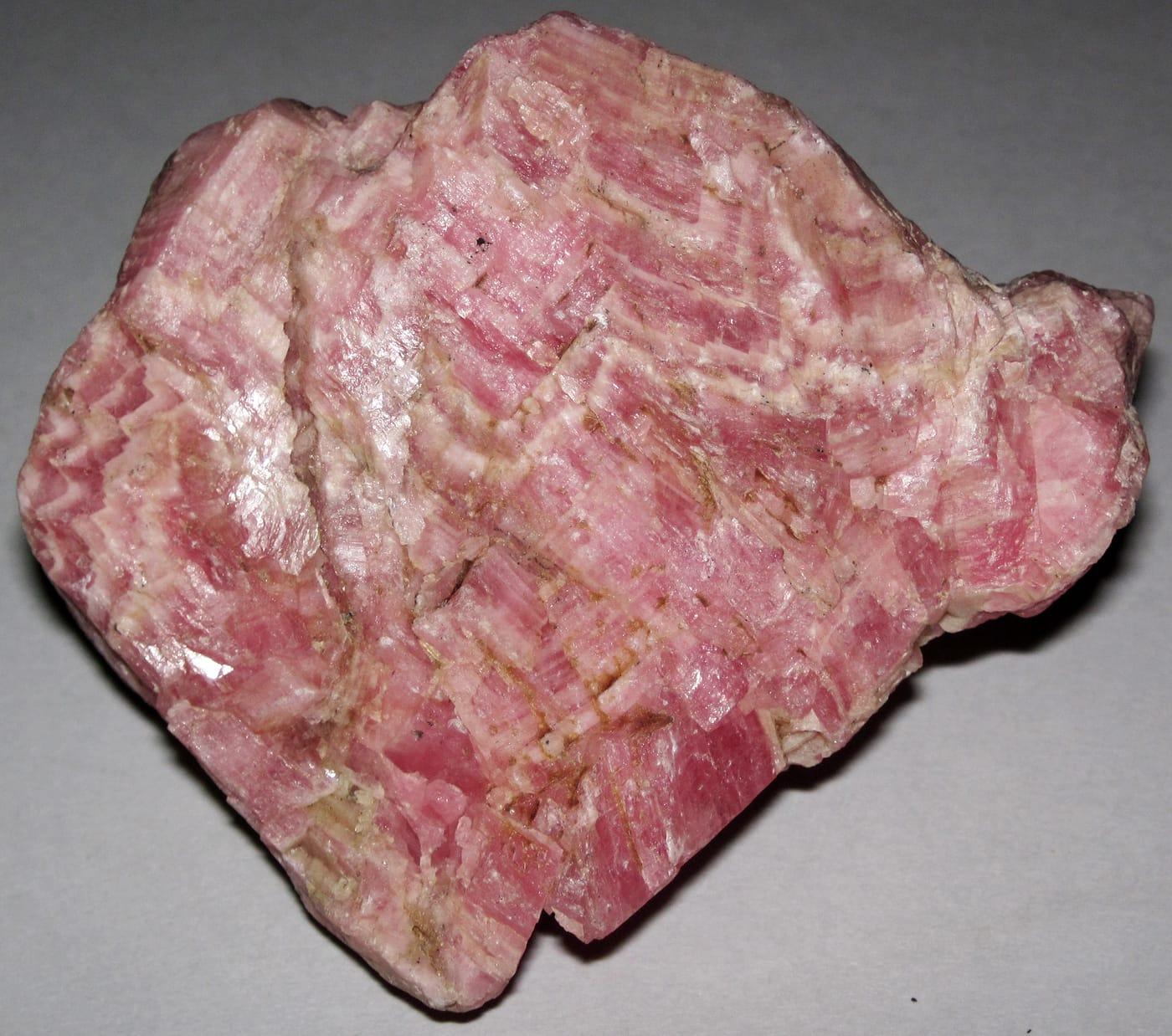
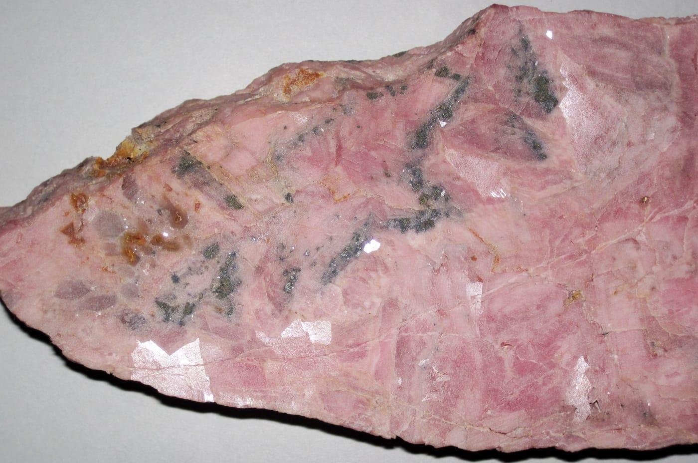
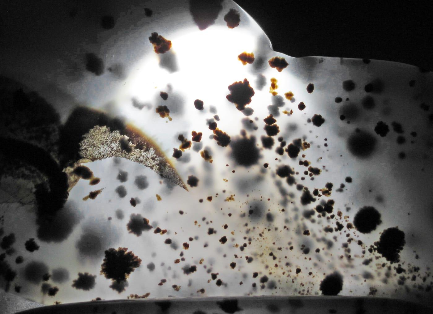
Representative spot and material photos from locations in this state, shown where verified public image records are available.
Map showing 87 rockhounding spots in Montana
Counts reflect how many spots in this list mention each mineral.
Notable areas: Yellowstone moss agate, Rock Creek and Gem Mountain sapphires, Crazy Mountain agate, and Madison County garnet are common Montana targets.
Four big collecting stories shape Montana: the Yogo dike and surrounding sapphire-bearing alluvials (Rock Creek, Dry Cottonwood, Eldorado Bar), the Yellowstone River moss agate gravels east of Billings, the Crazy Mountains agate beds, and the Cretaceous fossil country of the Hell Creek Formation (vertebrate fossils are federally protected — invertebrates and plant fossils are mostly collectible).
Pay-to-dig sapphire mines around Philipsburg and Helena. The Yogo dike near Utica is patented and closed to the public; surrounding gravels are sometimes open.
Montana moss agate in gravel bars along the Yellowstone from Custer County to the North Dakota line. Surface collecting on BLM and unposted river bars.
Bridger Range fossils, Crazy Mountains banded agates, and quartz crystals in pockets. USFS land covers much of the higher country.
Cretaceous fossils — vertebrate finds are federal property and not collectible; ammonites, leaves, and petrified wood are legal in personal-use amounts on BLM.
May–October. The Yellowstone gravels are easiest in late summer when river levels drop and expose fresh bars. Sapphire mines open Memorial Day to late September.
Sapphire digs: the mines supply concentrates and screens; bring a tray and tweezers. Yellowstone moss agate: a small backpack and a stiff rake for working pebble bars. Eastern Montana: 4WD and full water — services are far apart.
Yogo sapphire was discovered in 1894 by prospectors who first thought the cornflower-blue stones were worthless. The Yogo dike has produced more than $25 million in sapphires; it is currently inactive but the deposit is patented private property and closed to public collecting.
Day-trip range. Each section lists the closest mapped rockhounding spots within about 150 miles of the city — most are inside a 2 to 3 hour drive.
6 closest spots to Billings, MT.
6 closest spots to Helena, MT.
Geology rarely respects state borders. These states share mapped rockhounding country with Montana — useful when Montana is the start, not the whole trip. Each card links to the closest county across the line.
County pages are linked once we have at least 3 mapped spots for a focused guide with coordinates, mineral notes, and nearby spots.
Hand-picked standouts from the Montana list, chosen for unusual mineralogy, documented public access, or both. Each card links to coordinates, access notes, and what to look for.
Beaverhead County
Calvert Hill Mine adds a tungsten-skarn flavor to the Montana list, with Mindat describing a surface mine in Cambrian Meagher Formation limestone and listing scheelite, garnet, beryl var. aquamarine, chalcopyrite, molybdenite, pyrite, and smoky quartz in the district. That mineral spread makes it a stronger educational pick than another agate bar from the same river system.
Scheelite, Garnet, Aquamarine, Tungsten
Granite County
Rock Creek is one of Montana's four classic sapphire districts, documented by USGS and GIA alongside the Missouri River, Dry Cottonwood Creek, and Yogo Gulch. Mindat records corundum, sapphire, ruby, garnet, hematite, kyanite, magnetite, and rutile from the district, giving the locality more mineral context than a simple gem-gravel stop.
Quartz, Sapphire
Madison County
Ruby River is Montana's clearest garnet-focused pick in this candidate set, with nearby Mindat records listing almandine and broader Madison County garnet occurrences. Its appeal is narrow but strong: a recognizable metamorphic and placer-derived garnet target in a state otherwise dominated in popular collecting by sapphire and agate.
Almandine Garnet
Deer Lodge County
Dry Cottonwood Creek is one of the historic Montana sapphire fields named by USGS and GIA, discovered after the Missouri River bars and before Rock Creek and Yogo Gulch. It is less accessible and less active than some better-known sapphire districts, but that documented place in the state's corundum history makes it too important to omit.
Sapphire
Ravalli County
Crystal Mountain Mine is a focused fluorite locality, with Mindat tying the Ravalli County site to the Crystal Mountain Fluorspar Mine and listing fluorite with quartz and accessory phosphate and silicate minerals nearby. The spot broadens Montana's top list beyond sapphire, agate, and historic base-metal districts with a clear single-mineral identity.
White Fluorite, Green Fluorite, Purple Fluorite
 Top pick
Silver Bow County
Butte is Montana's heavyweight ore-mineral locality, with MBMG and USGS work documenting complex copper, silver, manganese, and related vein mineralogy in the district. For collectors, the draw is not ordinary float but classic species tied to the Butte lodes, including bornite and rhodochrosite in a district with national-scale mining history.
Bornite, Pisanite, Rhodochrosite, Rhodonite
Big Horn County
The Pryor Mountains stand out for Dryhead-style agate, with Mindat listing agate and chalcedony from the range and a named Dryhead Agate Mine in the Bighorn River area. The same Big Horn County country also carries fossil-bearing sedimentary units, so the locality needs careful land-status and fossil-rule checks rather than casual blanket collecting.
Fossils, Agate, Chalcedony, Jasper
 Top pick
Lewis and Clark County
American Bar belongs to the upper Missouri River sapphire province, where GIA traces gem-quality sapphire mining back to 1865. The associated heavy-mineral suite, including cassiterite, garnet, kyanite, topaz, gold, and chalcedony, makes the Missouri River bars one of Montana's most mineralogically varied placer settings.
Sapphire, Cassiterite, Chalcedony, Garnet
 Top pick
Yellowstone County
The Billings reach of the Yellowstone River is a benchmark Montana agate setting, where river gravels carry chalcedony, jasper, chert, and dendritic moss agate. Mindat records agate from Yellowstone County, and regional visitor and BLM guidance both point collectors toward public-land surface collecting rather than quarry or fee-pit material.
Montana Agate, Chalcedony, Chert, Jasper
Dawson County
Glendive sits in eastern Montana's Yellowstone River agate belt, where gravel bars and nearby breaks are known for agate, jasper, and petrified-wood style silica material. The site earns its place because it represents the downstream end of the Montana agate story, where long river transport has already sorted and rounded much of the collectible material.
Agate, Jasper, Moss Opal
Sorted by county. Tap coordinates to open in Google Maps, or open RockHoundR for the full map view with land overlays and weather.
Open the RockHoundR app to see Montana on a real map with public land overlays, weather, geology, and your saved finds.
