Rockhounding in Keweenaw County, Michigan
14 mapped rockhounding spots in Keweenaw County. Most commonly produces copper, prehnite, agate nodule, calcite.
Keweenaw County rockhounding photos
Representative spot and material photos from this county, shown where verified public image records are available.
Map showing 14 rockhounding spots in Keweenaw County, Michigan
Minerals reported in Keweenaw County
Standouts in Keweenaw County
Hand-picked spots in Keweenaw County, chosen for unusual mineralogy or documented public access. Each card opens the full coordinates and access notes.
 Top pick
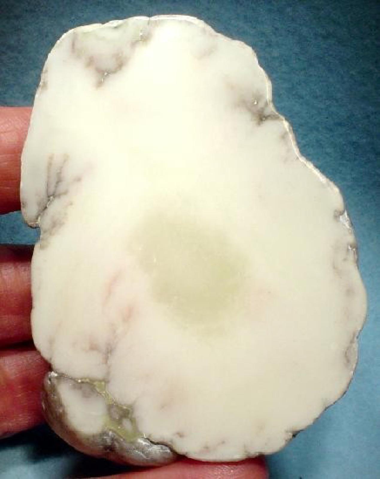
Keweenaw Point
PublicKeweenaw County
The exposed Lake Shore Traps along the wave-washed tip of the Keweenaw Peninsula carry agate-filled amygdules and datolite, with larger Keweenaw agates working loose from a narrow gravel band at the waterline.
Keweenaw Agate, Thomsonite, Datolite, Chalcedony
 Top pick
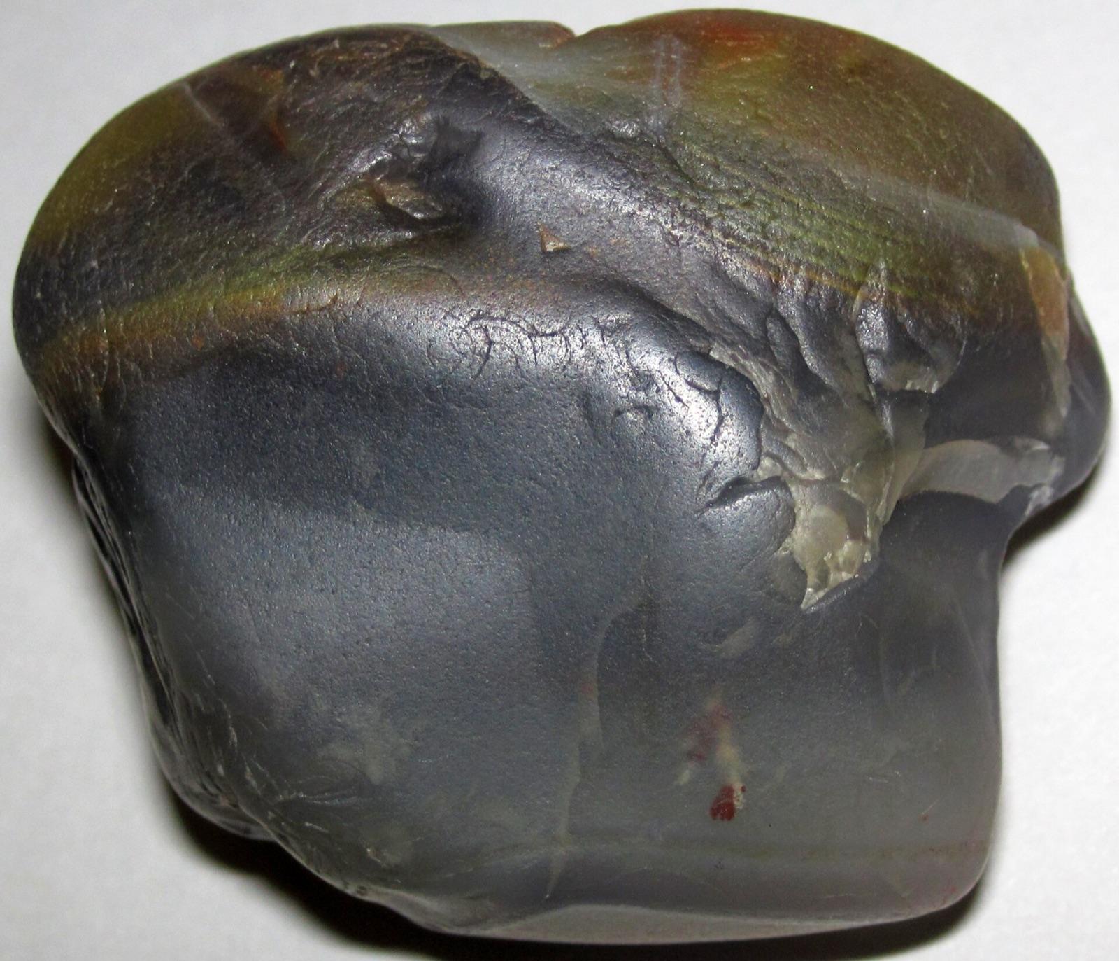
Manitou Island
PublicKeweenaw County
The 93-acre Manitou Island Light Station Preserve, owned by the Keweenaw Land Trust off the tip of the Keweenaw, is one of the few outer-island shores expressly open to the public for rock collecting.
Lake Superior Agate, Quartz
Spots in Keweenaw County
| Spot | Minerals | Coordinates | Access |
|---|---|---|---|
| Carnelian beachIsland Mine Trail | 47.9047, -89.0038 | Permission | |
| Central MineUS 41 | 47.4050, -88.1957 | Permission | |
| Cliff Mine | 47.3729, -88.3131 | Check locally | |
| Cliff North | 47.3764, -88.3158 | Check locally | |
| Esrey ParkM 26 | 47.4686, -88.0567 | Public | |
| Gratiot River County Park | 47.3437, -88.4525 | Public | |
| High Rock Bay | 47.4233, -87.7152 | Public | |
| Iroquois MineCliff Drive | 47.3246, -88.3633 | Permission | |
| Keweenaw Point | 47.4079, -87.7115 | Public | |
| Keweenaw Rocket RangeRocket Range Road | 47.4303, -87.7147 | Public | |
| Manitou Island | 47.4150, -87.6279 | Public | |
| Seneca No. 1 ShaftSeneca Road | 47.3113, -88.3622 | Permission | |
| Siskiwit Lake (South Side)Ishpeming Trail | 47.9887, -88.8074 | Permission | |
| Tobin Harbor AreaStoll Trail | 48.1654, -88.4635 | Permission |
Neighboring counties in Michigan
Adjacent rockhounding counties, ranked by how close their centroids sit to Keweenaw County. A natural extension if Keweenaw County is already on your trip plan.
- Houghton County~29 mi5 spotsTop: Lake Superior Agate, Chert, Copper
- Marquette County~71 mi6 spotsTop: Hematite, Chalcopyrite, Jaspilite
- Ontonagon County~74 mi5 spotsTop: Keweenaw Agate, Chalcedony, Charlevoix Stone
- Gogebic County~110 mi3 spotsTop: Granite, Agate, Banded Iron Formation
- Alger County~111 mi2 spotsTop: Banded Iron Formation, Lake Superior Agate, Yooperlite
- Luce County~139 mi5 spotsTop: Lake Superior Agate, Chert, Granite
Across the state line from Keweenaw County
Rockhounding counties in neighboring states within driving range. Geology rarely respects state borders. These are often the closest mapped spots you can reach without going deeper into Michigan.
Keweenaw County FAQ
Where can I rockhound in Keweenaw County, Michigan?+
What rocks and minerals are common in Keweenaw County?+
Are these Keweenaw County rockhounding spots on public land?+
Plan a Keweenaw County rockhounding trip
Open RockHoundR to see these spots on the map alongside land overlays, weather, geology, and your saved finds.