Cliff North: Copper & Calcite Rockhounding in Keweenaw County, Michigan
- Minerals reported
- 8
- Elevation
- 1,260 ft
- Best months
- April to October
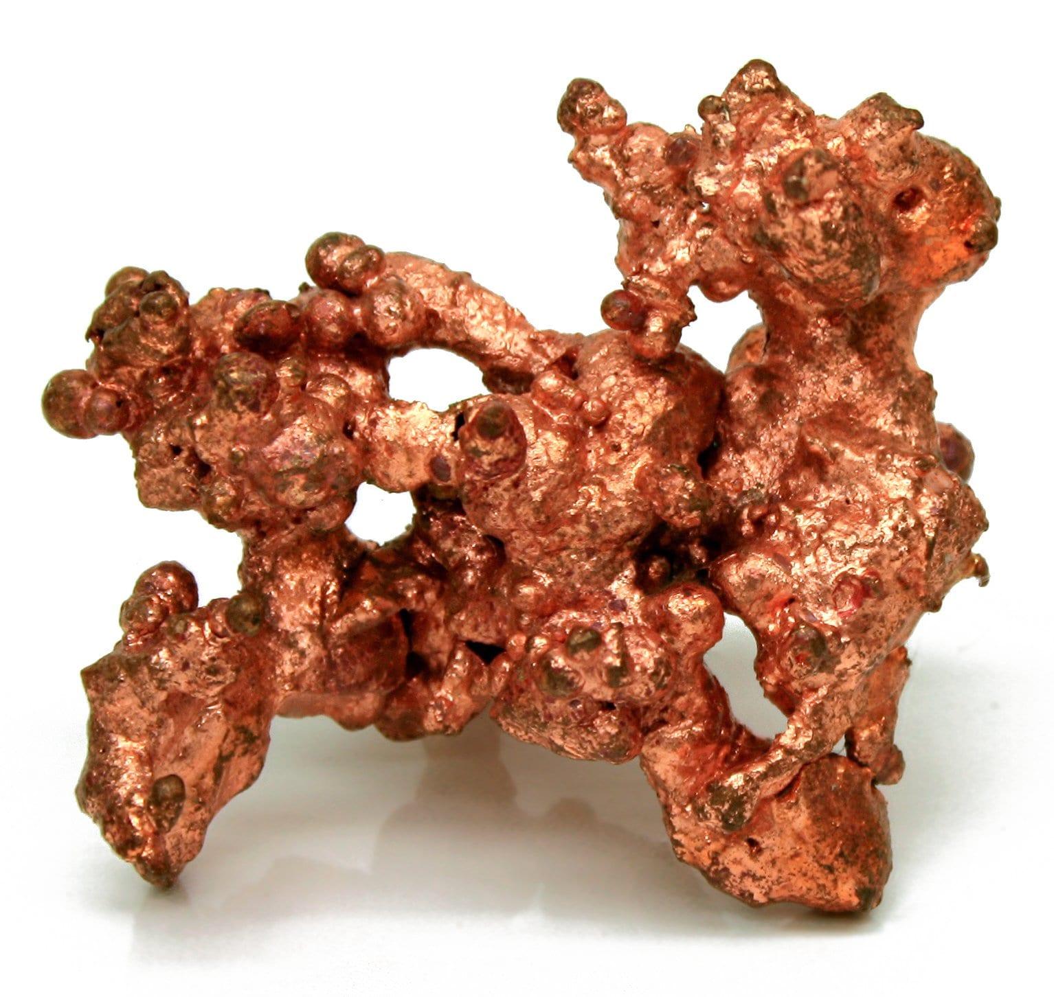
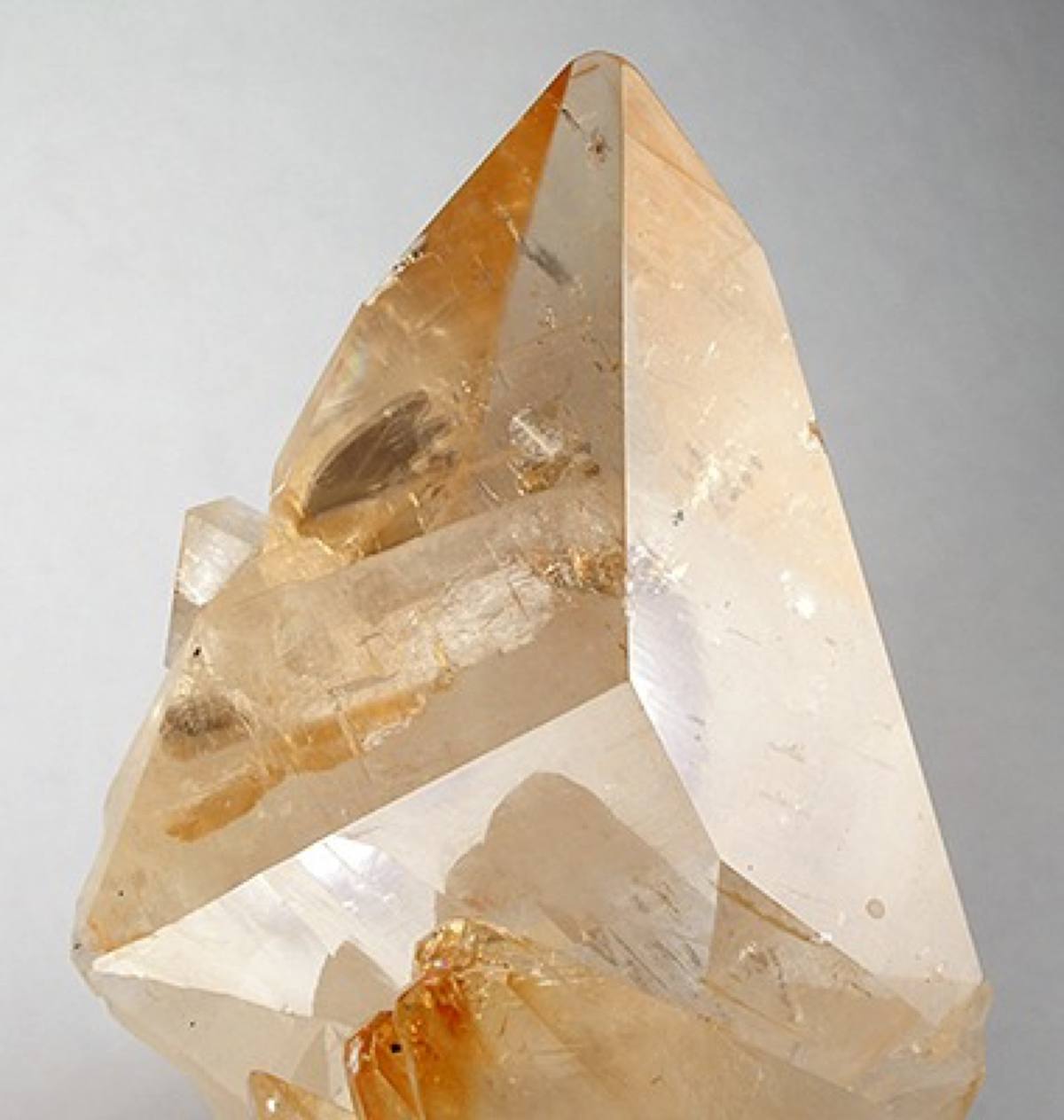
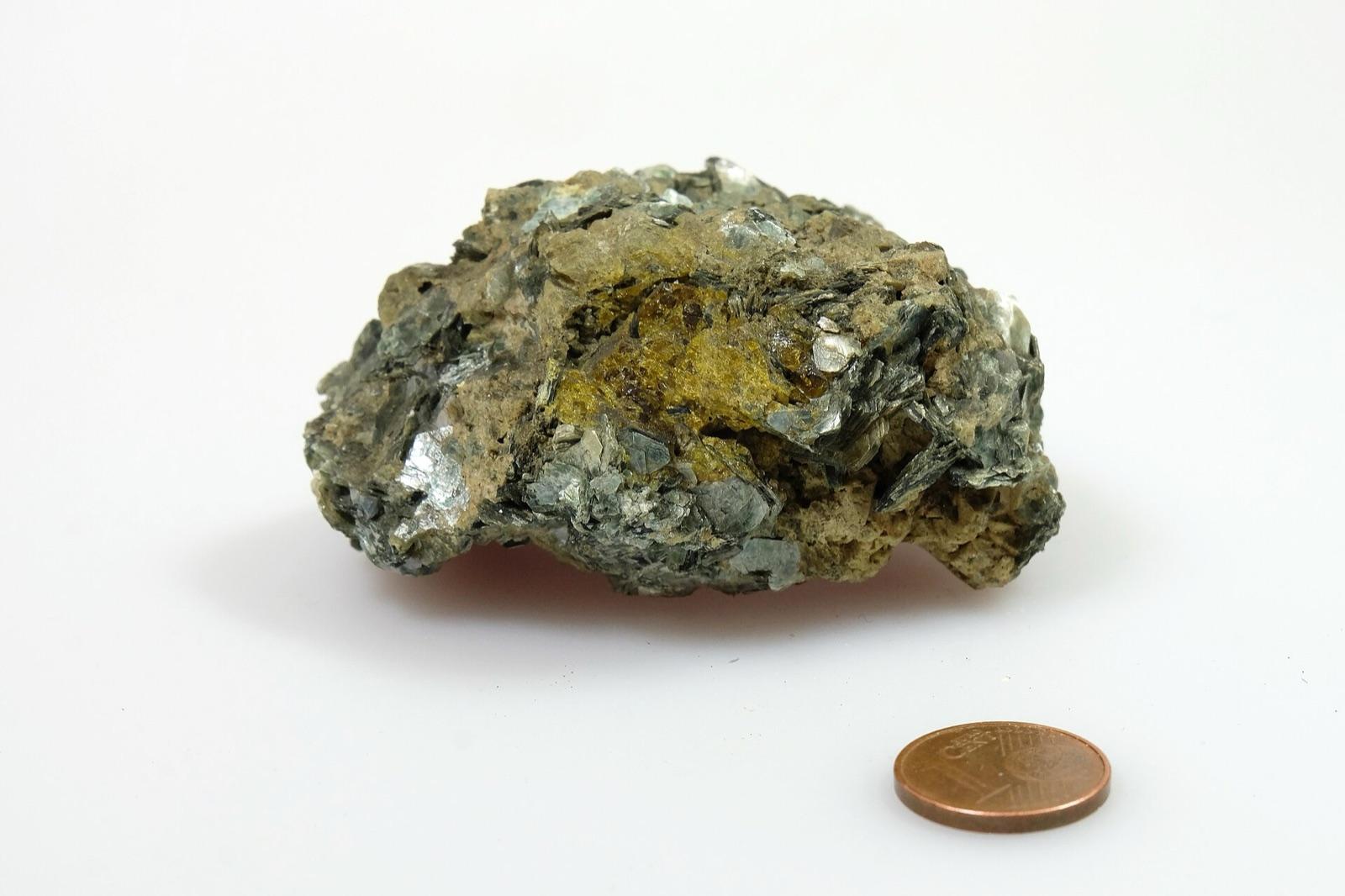
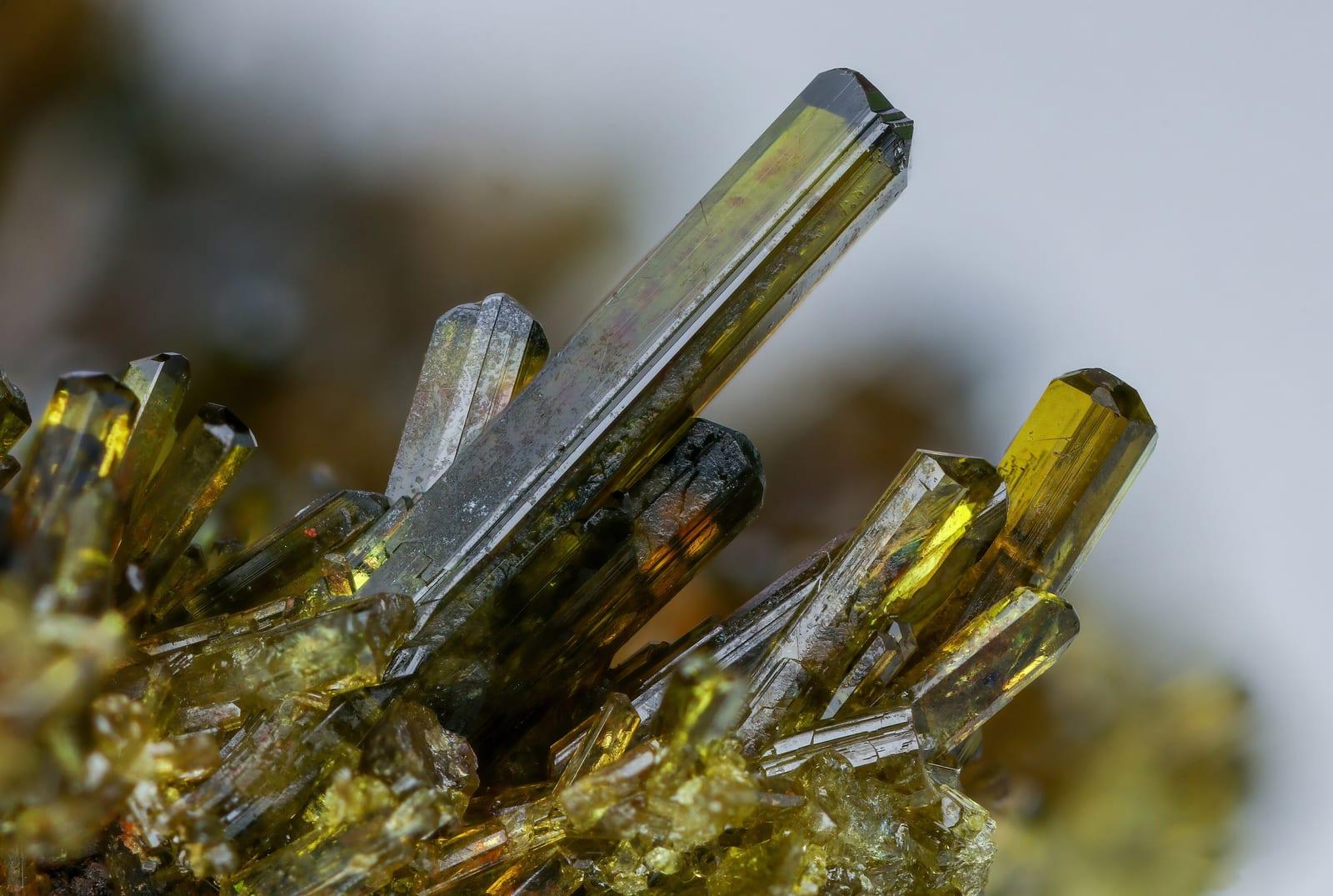
Cliff North is a mapped rockhounding spot in Keweenaw County, Michigan. Reported finds include copper, calcite, chlorite, epidote, laumontite, and more. Below: coordinates, access notes, nearby spots, and trip-planning links.
Plan your visit
Confirm rules before collecting
- County
- Keweenaw County
- State
- Michigan
- Coordinates
- 47.37644, -88.31579
Coordinates are approximate. Confirm the exact ground in the RockHoundR app, where land overlays show which agency manages the area.
Land & collecting status
Confirm rules before collecting
Land status here is not confirmed. Verify with the managing agency before collecting, federal, state, and tribal rules differ.
Public-land rules vary by agency, season, and field office. The RockHoundR app pulls live BLM, USFS, NPS, and tribal overlays so you can see exactly which agency manages the ground at this spot.
Best time to visit Cliff North
Comfortable months (45 to 90°F highs)
Best months: April to October. Typical highs run 75°F in midsummer and 21°F in midwinter, with winter lows near 9°F.
Climate normals: NOAA 1991-2020 monthlies, HANCOCK HOUGHTON CO AP station (16 mi away), adjusted for elevation.
Geology at Cliff North
This spot sits on Portage Lake Volcanics, mapped as basalt that formed roughly 1200 to 1000 million years ago. Copper minerals such as malachite and chrysocolla typically show up where mineralized rock like this has weathered and oxidized near old workings.
- Mapped unit
- Portage Lake Volcanics
- Age
- 1200–1000 Ma (Mesoproterozoic)
- Rock types
- basalt
- Elevation
- 1,260 ft
Geologic mapping via Macrostrat and the underlying state geological survey maps (CC BY 4.0). Bedrock at the surface can vary within a mapped unit.
Today's weather
Is today a good day to go?
The app shows live weather, recent rain, and a daily rockhounding score for Cliff North.
Get the appSources & verification
Spot details combine the public RockHoundR location dataset, normalized mineral labels, agency land-status checks in the app, and community submissions. Coordinates are approximate until verified in the field.
State guidance last verified:
- Michigan DNR, Rockhounding rules
- Michigan Geological Survey
- Isle Royale National Park, Rules
- Community submissions reviewed against published agency rules
Found at Cliff North
Each name opens all spots that produce that material; the encyclopedia link opens the full ID and field guide.
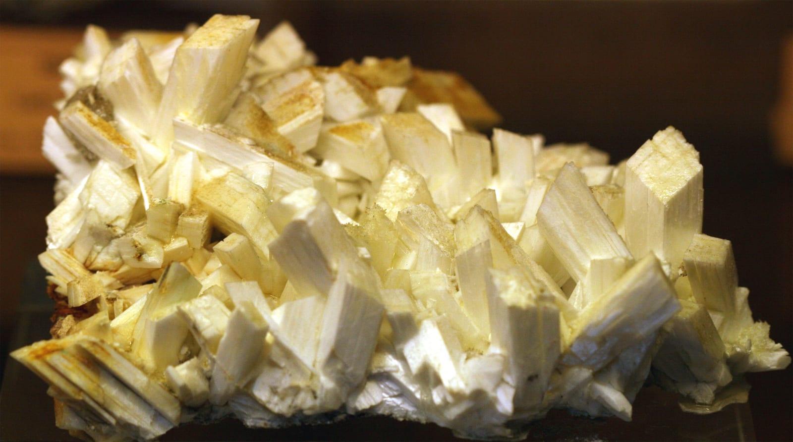
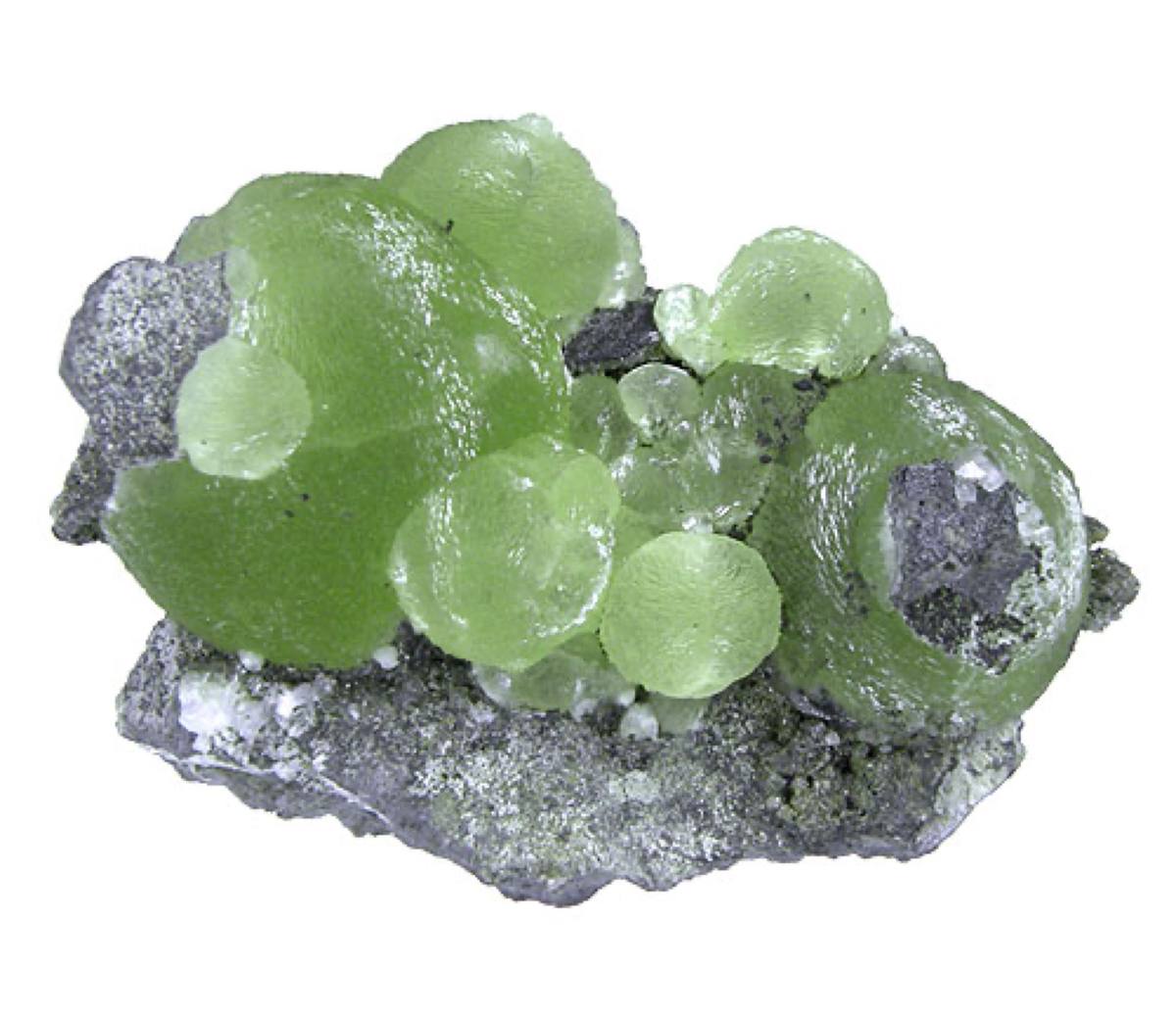
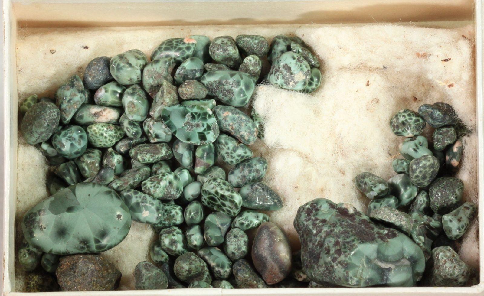
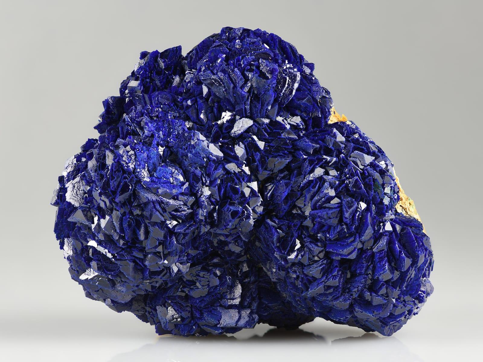
Nearby rockhounding spots
Other rockhounding spots within driving distance of Cliff North.
- Cliff MineKeweenaw County, Michigan · 0 mi awayCopper, Calcite, Chlorite
- Iroquois MineKeweenaw County, Michigan · 4 mi awayNative Copper
- Seneca No. 1 ShaftKeweenaw County, Michigan · 5 mi awayCopper, Datolite, Prehnite
- Central MineKeweenaw County, Michigan · 6 mi awayCopper, Chlorastrolite
- Gratiot River County ParkKeweenaw County, Michigan · 7 mi awayFreda Sandstone, Basalt, Rhyolite
- Wolverine MineHoughton County, Michigan · 9 mi awayCopper, Agate
- Calumet Waterworks ParkHoughton County, Michigan · 12 mi awayLake Superior Agate, Prehnite, Natrolite
- Esrey ParkKeweenaw County, Michigan · 14 mi awayGranite, Prehnite, Copper
Across the state line from Cliff North
Cliff North is close enough to the Michigan border that the next-closest rockhounding spots are in a neighboring state. Worth knowing if you are already on the road.
Cliff North FAQ
Where is Cliff North?+
What rocks and minerals can you find at Cliff North?+
Is collecting allowed at Cliff North?+
What tools should I bring to Cliff North?+
When is the best time to visit Cliff North?+
How do I get to Cliff North?+
More rockhounding in Michigan
See all 119 Michigan spots →
Open Cliff North on the map
Use the RockHoundR app for live land overlays, weather, geology, directions, and saved finds.