
Rockhounding in New Mexico

Updated August 2026

143 mapped spots across 26 counties. New Mexico is strong high-desert rockhounding country. Rockhound State Park near Deming, Round Mountain, and broad BLM tracts produce thundereggs, jasper, agate, perlite, Apache tears, and pumice.

Where is the best rockhounding in New Mexico?

The best rockhounding in New Mexico is at Zuni Mountains in Cibola County (agate, chalcedony), Harding Pegmatite Mine in Taos County (blue apatite, bityite), and Jemez National Recreation Area in Sandoval County (obsidian, opalized wood). In total, 143 mapped collecting spots across 26 counties produce agate, jasper, and chalcedony, each listed below with coordinates and land access notes.

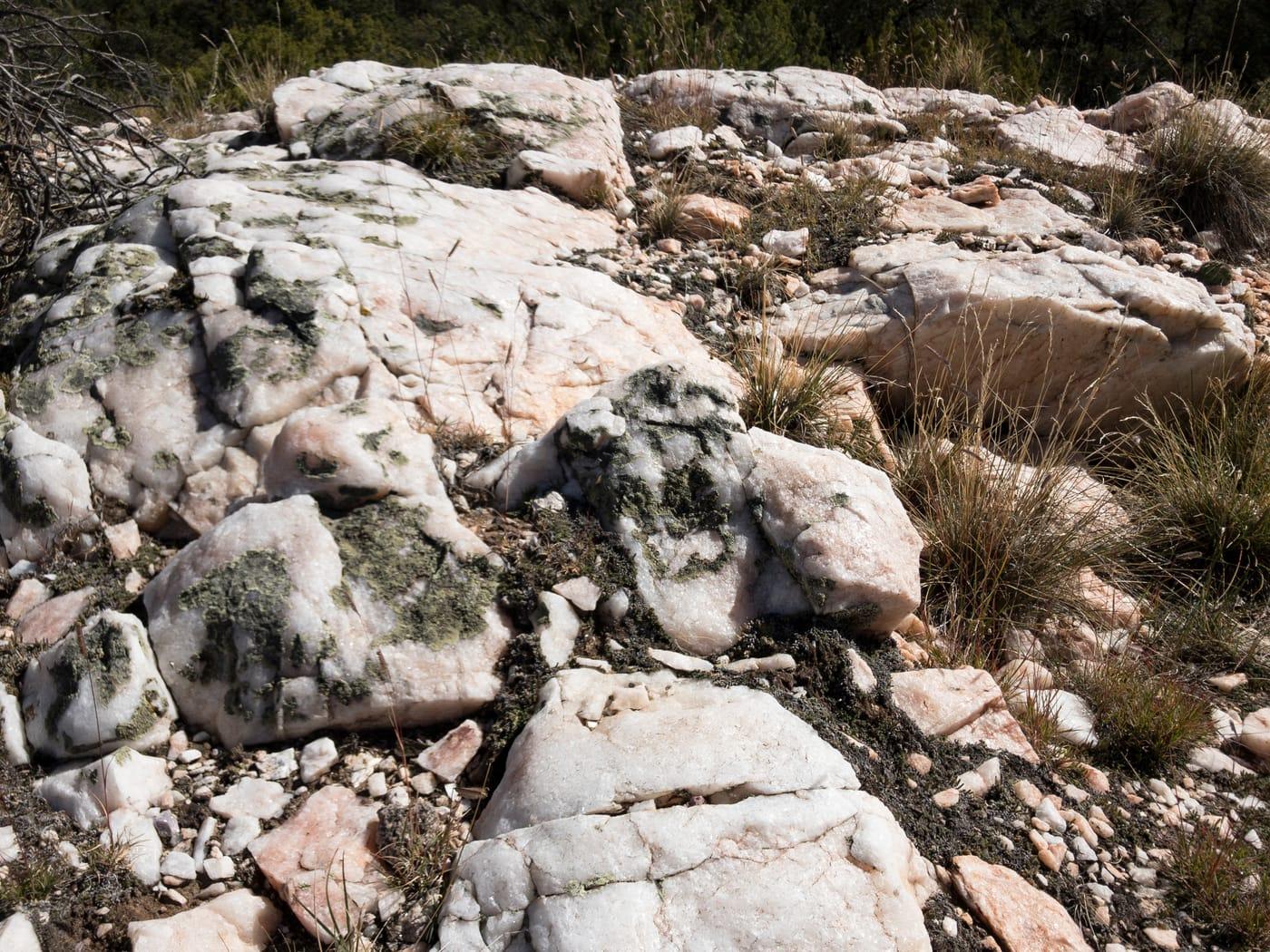
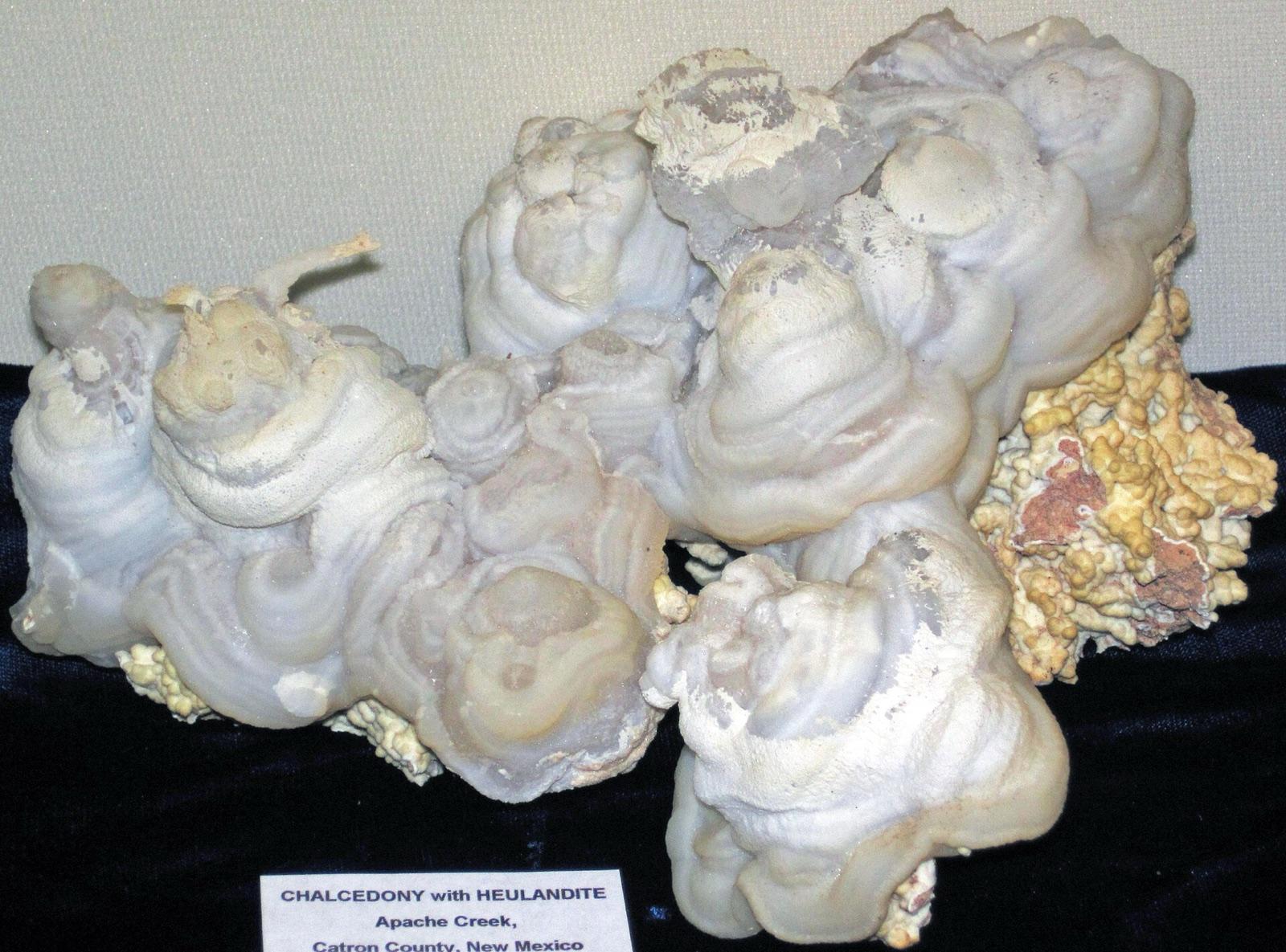
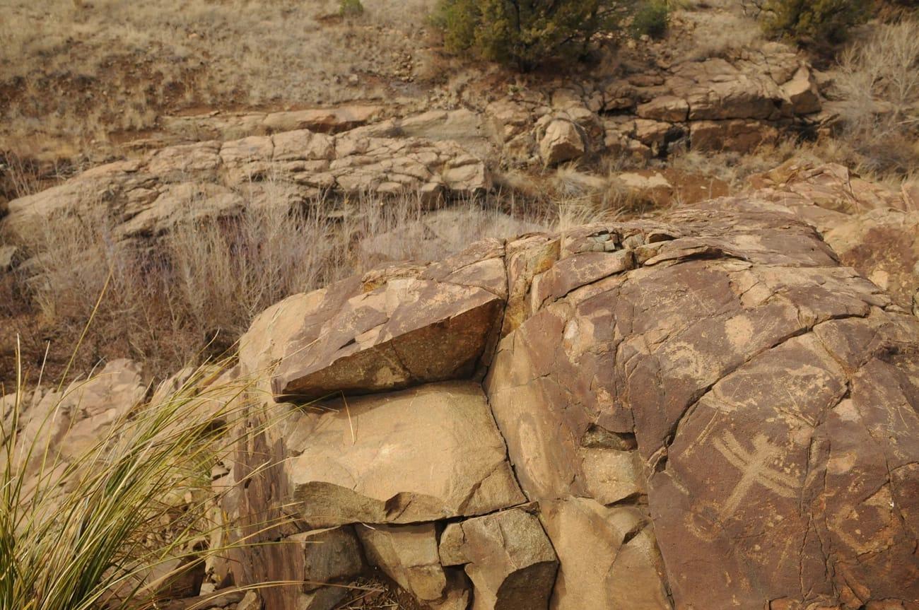
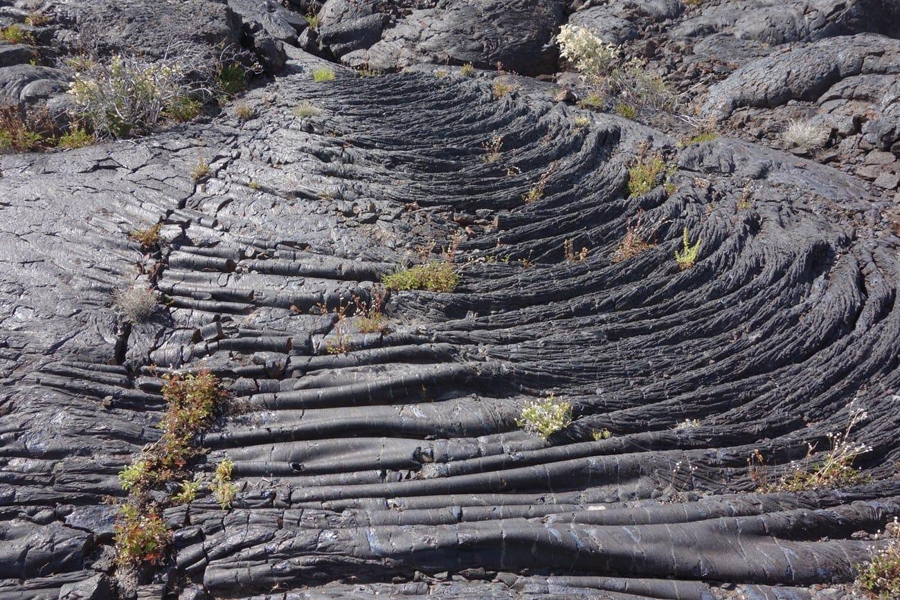
New Mexico rockhounding photos

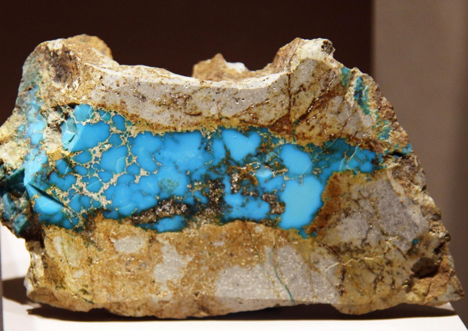
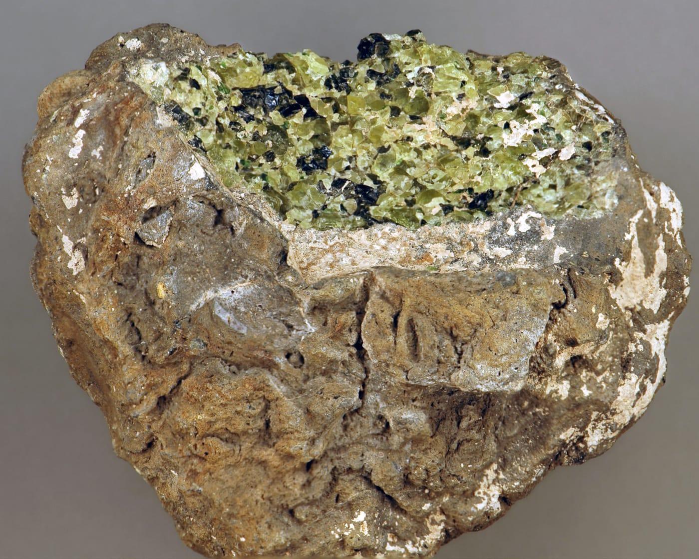
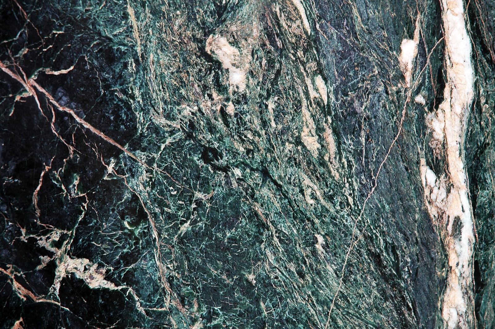
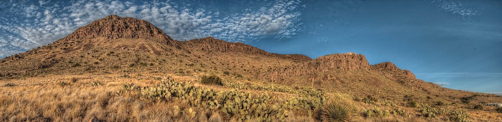
Representative spot and material photos from locations in this state, shown where verified public image records are available.

5 photos

Map showing 143 rockhounding spots in New Mexico

Top minerals found in New Mexico

Counts reflect how many spots in this list mention each mineral.

Notable areas: Rockhound State Park, Apache tears at Round Mountain, and Luna County agates are common New Mexico targets.

Geology behind New Mexico rockhounding

Southwest New Mexico's Tertiary volcanic field produces many of the state's common targets, including thundereggs, agate, jasper, perlite, and Apache tears. The Rio Grande Rift exposes Precambrian and Paleozoic mineralization through central New Mexico. The San Juan Basin in the northwest has petrified wood and Cretaceous invertebrates. The Pecos and Sangre de Cristo ranges add pegmatite minerals.

Best regions to focus your search

Southwest (Rockhound State Park, Deming, Bisbee Hills)

Rockhound State Park (where the state actively encourages visitors to take a small amount of material), Spring Canyon, the Florida Mountains, and Apache tears at Round Mountain. The state's main collecting hub.
Central New Mexico (Magdalena, Socorro, Mockingbird Gap)

Smoky quartz, fluorite, mine-dump barite, and selenite. The Magdalena and Kelly mining districts produce a long list of secondary minerals.

Northwest (San Juan Basin, Bisti)

Petrified wood and Cretaceous invertebrate fossils on BLM. The Bisti/De-Na-Zin Wilderness is closed to collecting; surrounding BLM is open under the standard rule.

Best season

October through April for the southwest deserts; summers are hot. The Sangre de Cristo and Jemez highlands are easier from May through October.

What to bring

Water, sun protection, and a rake for surface-picking thundereggs and Apache tears in the southwest. The Florida Mountains are steep and in snake country, so wear sturdy boots.

Local collecting history

Rockhound State Park near Deming, established in 1965, was the first state park in the U.S. created specifically for rockhounding. New Mexico designated turquoise as its state gem in 1967; the historic Cerrillos turquoise mines south of Santa Fe are mostly closed but a few still offer occasional tours.

Rockhounding near major New Mexico cities

Day-trip range. Each section lists the closest mapped rockhounding spots within about 150 miles of the city. Most are inside a 2 to 3 hour drive.

Neighboring states with rockhounding

Geology rarely respects state borders. These states share mapped rockhounding country with New Mexico, useful when New Mexico is the start, not the whole trip. Each card links to the closest county across the line.

Rockhounding by county in New Mexico

County pages are linked once we have at least 3 mapped spots for a focused guide with coordinates, mineral notes, and nearby spots.

Top picks in New Mexico

10 best spots

Hand-picked standouts from the New Mexico list, chosen for unusual mineralogy, documented public access, or both. Each card links to coordinates, access notes, and what to look for.

Every rockhounding spot in New Mexico

Sorted by county. Tap coordinates to open in Google Maps, or open RockHoundR for the full map view with land overlays and weather.

SpotCountyMineralsCoordinatesAccess
Isleta PuebloTribal Road 12Bernalillo County34.9075, -106.6744Permission
Pajarito MesaOld Pajarito RoadBernalillo County34.9948, -106.7656Public
Rio Puerco ValleyBernalillo County35.0755, -106.9489Public
Tijeras CanyonMountain RidgeBernalillo County35.0717, -106.3978Public
Apache Creek CampgroundCox Canyon RoadCatron County33.8293, -108.6240Public
Black MountainSam Martin Trail #23Catron County33.3807, -108.2899Permission
Elk Horn ParkCatron County33.8854, -108.6877Public
Glenwood & PleasantonShelton Canyon RoadCatron County33.2973, -108.8702Public
Golden Eagle & Handcar MinesMineral Creek Trail #201Catron County33.4150, -108.8095Public
Horse Camp CanyonNew Mexico 36Catron County34.5144, -108.3803Permission
Lee Russell & Kerr CanyonsToriette Lake RoadCatron County33.9167, -108.6726Public
Lee Russell CanyonNM 32Catron County33.9286, -108.6583Public
Lee Russell CanyonNM 32Catron County33.9027, -108.6382Public
Leggett PeakUS 180Catron County33.7151, -108.9040Public
LunaUS 180Catron County33.8197, -108.9853Public
Luna (agate area)Bill Knight Gap RoadCatron County33.8189, -108.9548Public
MogollonBursum RoadCatron County33.3899, -108.8022Public
Plains of San AgustinCatron County33.8840, -108.2586Permission
QuemadoUS 60Catron County34.3416, -108.4927Permission
San Francisco RiverOld Highway RoadCatron County33.8284, -109.0213Public
Sand Canyon AgateSand Canyon RoadCatron County33.8424, -108.5908Public
Lake ArthurChaves County32.9744, -104.0913Permission
RoswellRiver RoadChaves County33.3950, -104.3999Permission
LagunaNM 124Cibola County35.0488, -107.4057Permission
Zuni MountainsCounty Road 149Cibola County35.1422, -108.3258Public
Mexican GulchUS 64Colfax County36.5393, -105.1439Permission
Moreno CreekCounty Road B-24Colfax County36.5971, -105.2708Public
Point of RocksColfax County36.4251, -104.1520Public
Sugarite Mine & coal fieldsNM 72Colfax County36.9098, -104.3463Public
Ute Creek4WDColfax County36.6083, -105.1595Public
Fort SumnerSouth 9th StreetDe Baca County34.4591, -104.2396Public
Fort Sumner (Pecos diamonds)US 60De Baca County34.4731, -104.7230Public
Grandview CanyonWsmr South Route 306Doña Ana County32.9812, -106.5475Permission
HatchDoña Ana County32.7108, -107.1072Public
Hatch (goethite area)County Road 0068Doña Ana County32.7569, -107.1355Public
Kilbourne HoleDoña Ana County31.9734, -106.9660Permission
Las CrucesPearl Harbor Memorial HighwayDoña Ana County32.0615, -106.6033Public
OrganBaylor Canyon PassDoña Ana County32.4040, -106.6010Permission
ArtesiaEddy County32.8313, -104.3178Public
Pecos DiamondsKarr Ranch RoadEddy County32.8895, -104.3210Public
Whites CityCarlsbad Cavern HighwayEddy County32.1759, -104.3769Public
Alum MountainGrant County33.1326, -108.2192Permission
Bear MountainBear Mountain RoadGrant County32.8359, -108.3587Public
Burro PeakRustlers TrailGrant County32.5718, -108.4007Public
Chapo Copper ProspectShipping Pens RoadGrant County31.8282, -108.2717Public
Fort BayardGrant County32.8027, -108.1392Public
GeorgetownGeorgetown RoadGrant County32.8467, -108.0225Public
HachitaContinental Divide TrailGrant County31.8954, -108.4254Public
Meerschaum area surfacesNM 15Grant County33.0511, -108.1947Permission
Mule CreekHarden CienegaGrant County33.1381, -109.0336Public
Owens MineShipping Pens RoadGrant County31.8419, -108.2385Public
Queen's Taste MineShipping Pens RoadGrant County31.8474, -108.2383Public
Rabb CanyonGrant County32.8771, -107.8816Public
Rabb Canyon ParkingWrights Cabin RoadGrant County32.8758, -107.8719Public
RedrockGrant County32.7357, -108.6527Public
Santa RitaNM 152Grant County32.8030, -108.0665Public
Sapillo CreekSapillo Loop RoadGrant County33.0345, -108.1871Public
Apache MineNM 81Hidalgo County31.8448, -108.3053Public
Big Hatchet Mountainscdt Ley bushwackHidalgo County31.6215, -108.3640Public
Granite GapNM 80;US 80 HistHidalgo County32.0792, -108.9799Public
Playas LakeHidalgo County31.8416, -108.5772Public
Pyramid MountainsHidalgo County32.1946, -108.7222Public
Pyramid PeakHidalgo County32.2620, -108.7780Public
Shakespeare Ghost TownPipeline RoadHidalgo County32.3239, -108.7612Public
AnchoA036Lincoln County33.9375, -105.7305Public
White OaksCounty Road A044Lincoln County33.7520, -105.7579Public
Agate Point prospectPampas RoadLuna County32.1753, -107.5976Public
Big Diggins MineCounty Road C018Luna County32.0459, -107.9433Paid / fee
Carrizalillo Mining DistrictLuna County31.8690, -107.9838Public
ColumbusLuna County31.8260, -107.7137Public
Cookes PeakCookes Peak TrailLuna County32.5570, -107.7250Public
Cookes Peak areaCookes Peak TrailLuna County32.5260, -107.7014Public
General Area (calcite)County Road A016Luna County32.3935, -107.7067Public
General Area (Luna County)Luna County32.3316, -107.7059Public
Little Florida MountainsPampas RoadLuna County32.1756, -107.5932Public
Massacre MountainLuna County32.4447, -107.6751Public
Rockhound State ParkThunder Egg TrailLuna County32.1873, -107.6126Permission
Tres Hermanas MtscdtLuna County31.9307, -107.7255Public
GrantsSan Mateo RoadMcKinley County35.3426, -107.7590Public
ThoreauMcKinley County35.4435, -108.1281Public
RociadaFR 18Mora County35.8638, -105.4197Public
Alice MineCounty Road A003Otero County32.3924, -106.1067Public
BentMauer DriveOtero County33.1550, -105.8502Public
Copper King No. 2 MineCounty Road A003Otero County32.3993, -106.1092Public
Jarilla Mountains (copper)County Road A003Otero County32.4055, -106.1005Public
Jarilla Mountains (garnet)Otero County32.3952, -106.1161Public
Lucky MineCounty Road A003Otero County32.4126, -106.1089Public
Orogrande District ProspectCounty Road A003Otero County32.3987, -106.1037Public
Orogrande District ProspectCounty Road A003Otero County32.3996, -106.1020Public
PhiladelphiaCounty Road A003Otero County32.4147, -106.1130Public
Abiquiu LakeNM 96Rio Arriba County36.2348, -106.4321Permission
CoyoteNM 96Rio Arriba County36.1657, -106.6162Public
Ghost RanchRio Arriba County36.3050, -106.4804Public
La MaderaRio Arriba County36.3978, -106.0212Public
La Madera (dumortierite area)Rio Arriba County36.3810, -106.0346Public
La Madera MineNM 519Rio Arriba County36.3961, -106.0242Public
Las TablasJarita Meza RoadRio Arriba County36.5317, -106.0504Public
Pedernal ParkRio Arriba County36.1920, -106.4898Public
PetacaForest Road 45Rio Arriba County36.5033, -106.0235Public
Small Fry ProspectNew Mexico State Highway 554Rio Arriba County36.2417, -106.1911Public
Showing the top 100 of 143 spots. Explore all 143 on the map

New Mexico rockhounding FAQ

Is rockhounding legal in New Mexico?+
Yes on BLM and USFS land under the standard BLM rule (25 lb/day, 250 lb/year). New Mexico is also unusual in that Rockhound State Park near Deming actively encourages collecting, with a posted 15-pounds-per-visit limit. Most other state parks, all national parks, and tribal lands are closed.
How much can I take from Rockhound State Park?+
Rockhound State Park near Deming posts a 15-pound-per-person-per-visit limit on rocks and mineral specimens. You may not dig pits or use heavy tools; hand picking and small hand tools only. Unlike most state parks, this park specifically allows limited collecting.
Where can I find Apache tears in New Mexico?+
Round Mountain in the Black Range and surrounding BLM ground produces large quantities of Apache tears (small obsidian nodules weathered out of perlite). The trail to the perlite slopes is well used; the apache tears come from weathered surface scree.
Can I dig in the Bisti badlands?+
No. The Bisti/De-Na-Zin Wilderness is closed to all collecting. You may walk through and photograph the area. Adjacent BLM ground outside the wilderness boundary is open under the standard 25 lb/day rule.
What rocks and minerals can you find in New Mexico?+
Common targets include thundereggs (Rockhound State Park, Spring Canyon), Apache tears (Round Mountain), agate and jasper across the southwest, perlite, fluorite, petrified wood (San Juan Basin BLM), and turquoise (historic Cerrillos and Burro Mountains, mostly on claims).

Map every New Mexico spot in the app

Open the RockHoundR app to see New Mexico on a real map with public land overlays, weather, geology, and your saved finds.

Download on the App StoreGet it on Google Play