Big Bend region (West Texas)
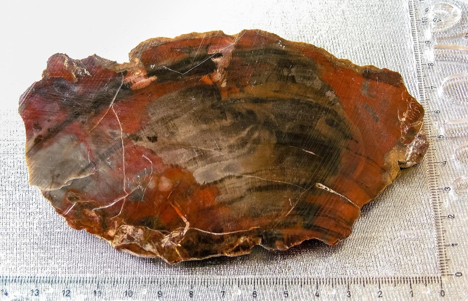
Balmorhea blue agate (Stillwell, Woodward, Walker ranches — fee-dig only), Big Bend plume agates, opal, and red plume jasper. National park is off-limits.
93 mapped spots across 50 counties. Texas rockhounding spans agate fields in the Big Bend region, petrified palm wood across the south and east, and limestone fossils across most of the state. Public-collecting opportunities are concentrated on TPWD lands and a network of fee-dig sites.
Representative spot and material photos from locations in this state, shown where verified public image records are available.
Map showing 93 rockhounding spots in Texas
Counts reflect how many spots in this list mention each mineral.
Notable areas: Balmorhea agate, Big Bend agate (outside the park), Texas petrified palm wood, and Cretaceous fossils are common targets.
Texas is over 95% private land, so access matters as much as geology. The Big Bend region exposes Cretaceous limestones and Tertiary volcanics, including sources for Balmorhea blue agate and Big Bend plume agate. The Eagle Ford and Austin Chalk produce ammonites and shark teeth. South and east Texas Pleistocene gravels yield petrified palm wood, the state stone.
Balmorhea blue agate (Stillwell, Woodward, Walker ranches — fee-dig only), Big Bend plume agates, opal, and red plume jasper. National park is off-limits.
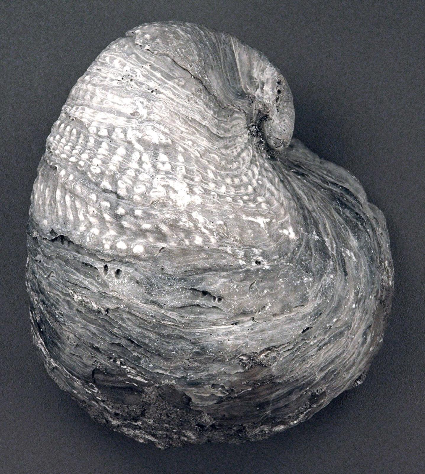
Cretaceous fossils (ammonites, oysters, mosasaur fragments) in road cuts and creek beds. Ladonia Fossil Park (paleontology park) is open to the public.
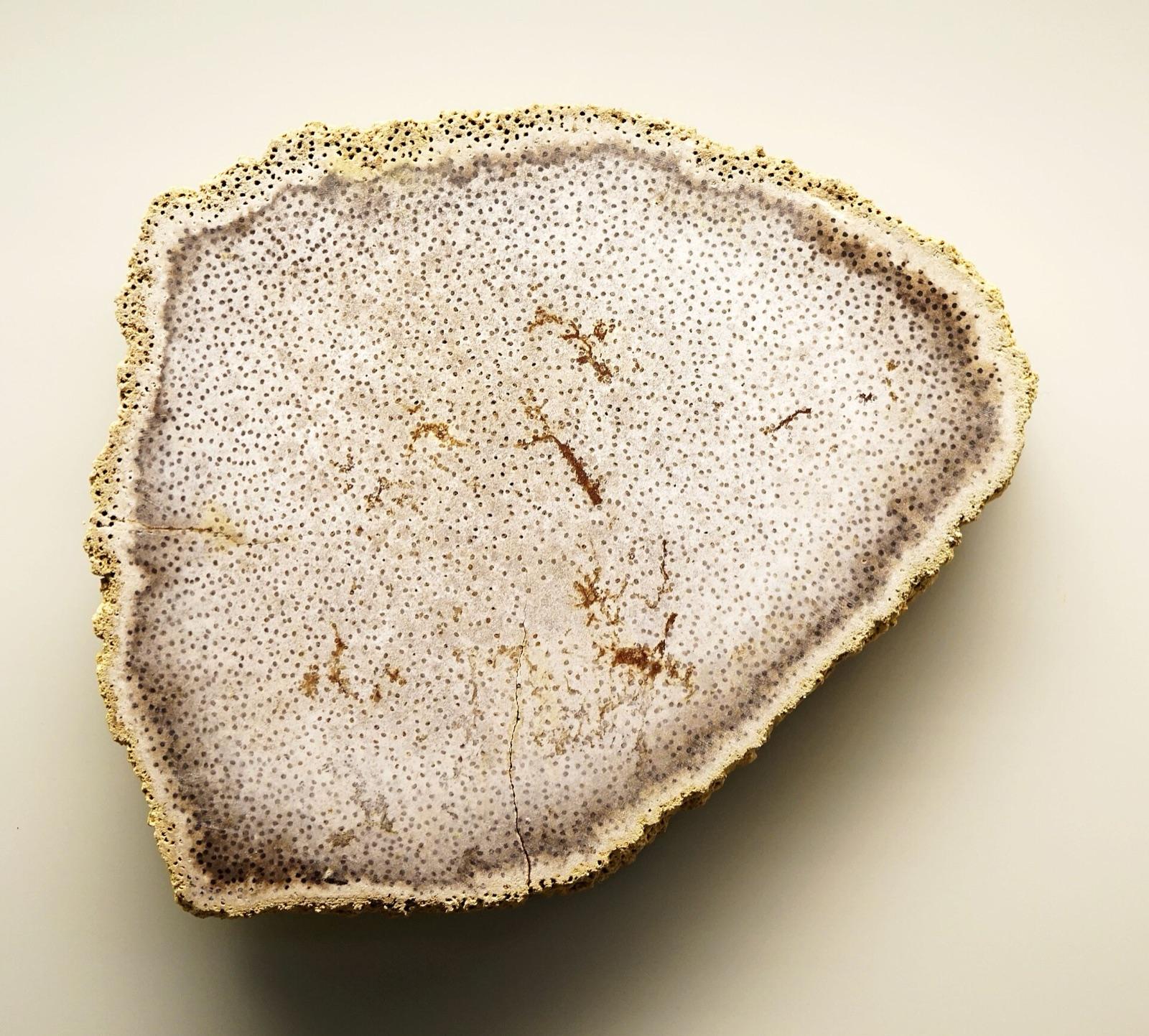
Texas petrified palm wood in Pleistocene gravels along the Brazos, Colorado, and Sabine rivers. Often on private ranchland — get permission.
Shark teeth, agatized coral, petrified wood, and Pleistocene shells on public beaches like Galveston, North Padre, and Bolivar.
October through April for Big Bend. For Central Texas fossils, spring creek floods can refresh gravel bars. Gulf Coast beach hunting improves after fronts push shells and gravel onshore.
West Texas: rattlesnake-aware boots, gallon-per-person water, sun shade. Fossil hunting: a small pick, brushes, and consolidant for fragile finds. Beach: a mesh bag and a stiff sifter.
Texas petrified palm wood was designated the state stone in 1969. Big Bend agate hunting dates back to ranch lease arrangements set up in the 1950s — many of the same families (Woodward, Stillwell) still operate the fee digs today.
Day-trip range. Each section lists the closest mapped rockhounding spots within about 150 miles of the city — most are inside a 2 to 3 hour drive.
6 closest spots to Houston, TX.
6 closest spots to San Antonio, TX.
6 closest spots to Dallas, TX.
Geology rarely respects state borders. These states share mapped rockhounding country with Texas — useful when Texas is the start, not the whole trip. Each card links to the closest county across the line.
County pages are linked once we have at least 3 mapped spots for a focused guide with coordinates, mineral notes, and nearby spots.
Hand-picked standouts from the Texas list, chosen for unusual mineralogy, documented public access, or both. Each card links to coordinates, access notes, and what to look for.
 Top pick
Bastrop County
The Colorado River at Smithville is a navigable Texas river, so its bed is state-owned public land, and the City of Smithville maintains free river access at Vernon L. Richards Riverbend Park beneath the Highway 71 bridges. Bastrop County is classic petrified palm wood country, the Texas state stone, with petrified wood and agate occurring in the river gravels and the Catahoula Formation.
Petrified Palm Wood, Petrified Wood, Agate
 Top pick
Llano County
The roadcut on Texas Highway 16 about nine miles north of Llano slices through the only known outcrop of llanite, a 1.1-billion-year-old rhyolite porphyry flecked with blue quartz crystals found essentially nowhere else on Earth. The blue color comes from microscopic ilmenite inclusions in the quartz, set in a matrix studded with reddish microcline feldspar. It is the single publicly reachable exposure of the rock.
Llanite, Blue Quartz
 Top pick
Palo Pinto County
Mineral Wells Fossil Park exposes Pennsylvanian marine shale roughly 300 million years old, where eroded slopes yield abundant crinoid stems, brachiopods, sea urchins, and bivalves. The City of Mineral Wells runs the site as a free public park, and visitors may keep what they find for personal use. It is one of the most accessible fossil-collecting sites in North Texas.
Crinoid Stems, Brachiopods, Echinoids, Bivalves
 Top pick
Fannin County
The North Sulphur River channel at Ladonia cuts into Late Cretaceous marine beds that yield shark teeth, mosasaur teeth and bone, ammonites, and Exogyra oysters. The Upper Trinity Regional Water District operates the site as a free public fossil park, and what visitors find is theirs to keep. Mosasaur material is among the more common vertebrate finds.
Fossilized Shark Teeth, Ammonites, Mosasaur Teeth, Fossilized Oysters
 Top pick
Burleson County
Whiskey Bridge exposes the Stone City beds of the Eocene Crockett Formation, widely regarded as the most fossiliferous marine outcrop in Texas, with well over 200 identified species. Collectors routinely recover Eocene snails such as Turritella, clams, small corals, and tusk shells from the bluff below the State Highway 21 bridge. The Brazos River bed here is state-owned navigable land open to the public.
Fossil Snails, Fossilized Shells, Coral, Scaphopods
 Top pick
McLennan County
The Brazos is a navigable Texas river, so its bed is state-owned and open to public use where reached from a public access point. Brazos Park East in Waco provides a free city boat ramp onto that bed, where exposed gravel bars carry petrified wood, agatized wood, agate, and chert washed down from upstream formations. Low water exposes the best gravel.
Petrified Wood, Agatized Wood, Agate, Jasper
 Top pick
Llano County
The Llano River cuts through the Precambrian Llano Uplift, so its gravels carry granite, gneiss, schist, garnet, and quartz, including the blue quartz that defines local llanite. Grenwelge Park gives free public access to the south bank of this navigable river in the town of Llano. Several other free city parks nearby also reach the river.
Blue Quartz, Quartz, Almandine Garnet, Granite
 Top pick
Houston County
The Davy Crockett National Forest sits in the petrified-wood belt of East Texas, where silicified and agatized wood weathers out of Catahoula and Manning Formation gravels alongside jasper and agate. The US Forest Service issues free use permits for personal collection of petrified wood and common lapidary minerals on the forest. Vertebrate fossils and artifacts remain off limits.
Petrified Wood, Agatized Wood, Jasper, Agate
 Top pick
San Jacinto County
Sam Houston National Forest carries petrified palm wood, the official Texas state stone since 1969, along with agate, jasper, and chalcedony weathered from young Gulf Coastal Plain gravels. The US Forest Service permits personal collection of common lapidary minerals and petrified wood here under a free use permit. Vertebrate fossils and artifacts are excluded.
Petrified Palm Wood, Petrified Wood, Agate, Jasper
 Top pick
Wise County
The Lyndon B. Johnson National Grassland exposes Cretaceous limestone full of fossil oysters along its ridges, plus agate, chert, and petrified wood in its sandy soils. The US Forest Service allows personal collection of common minerals, petrified wood, and invertebrate fossils here under a free use permit. Vertebrate fossils and artifacts are prohibited.
Fossilized Oysters, Agate, Petrified Wood, Chert
Sorted by county. Tap coordinates to open in Google Maps, or open RockHoundR for the full map view with land overlays and weather.
Open the RockHoundR app to see Texas on a real map with public land overlays, weather, geology, and your saved finds.
