Edgecomb Quarry (Schmid Preserve): Almandine Garnet & Beryl Rockhounding in Lincoln County, Maine
- Minerals reported
- 6
- Elevation
- 260 ft
- Best months
- April to November
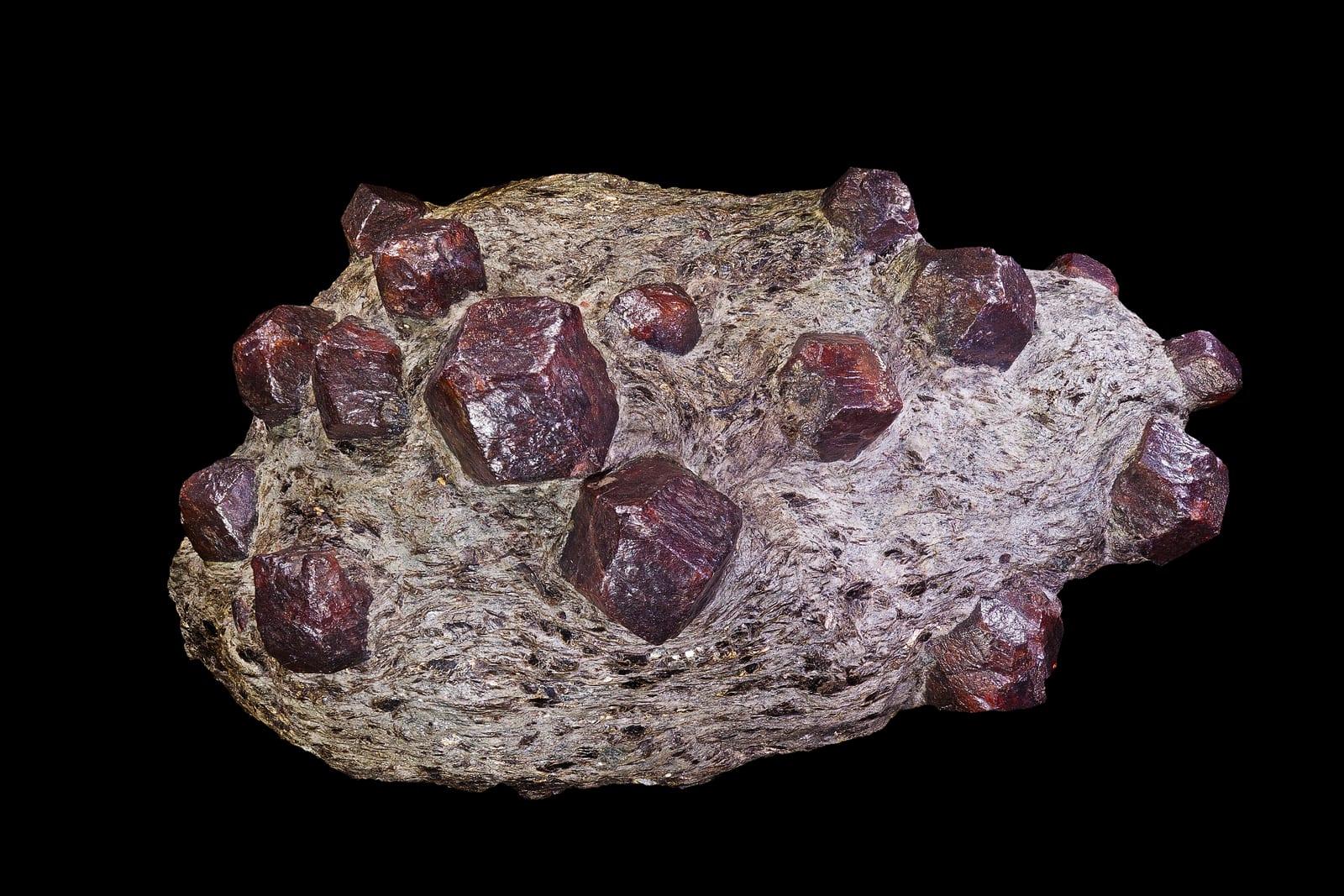
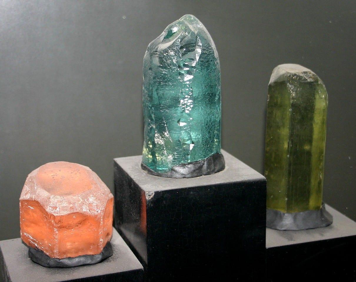
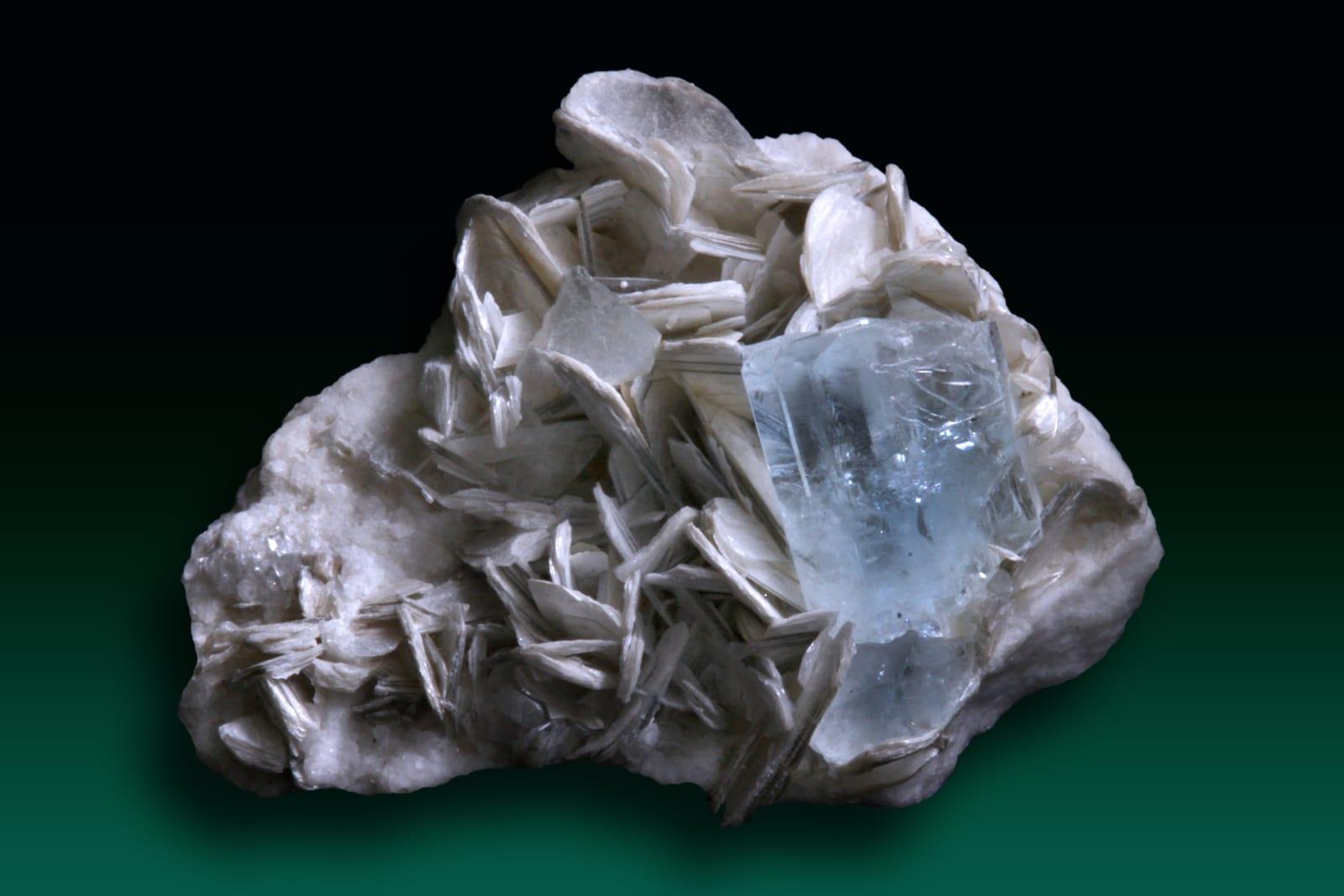
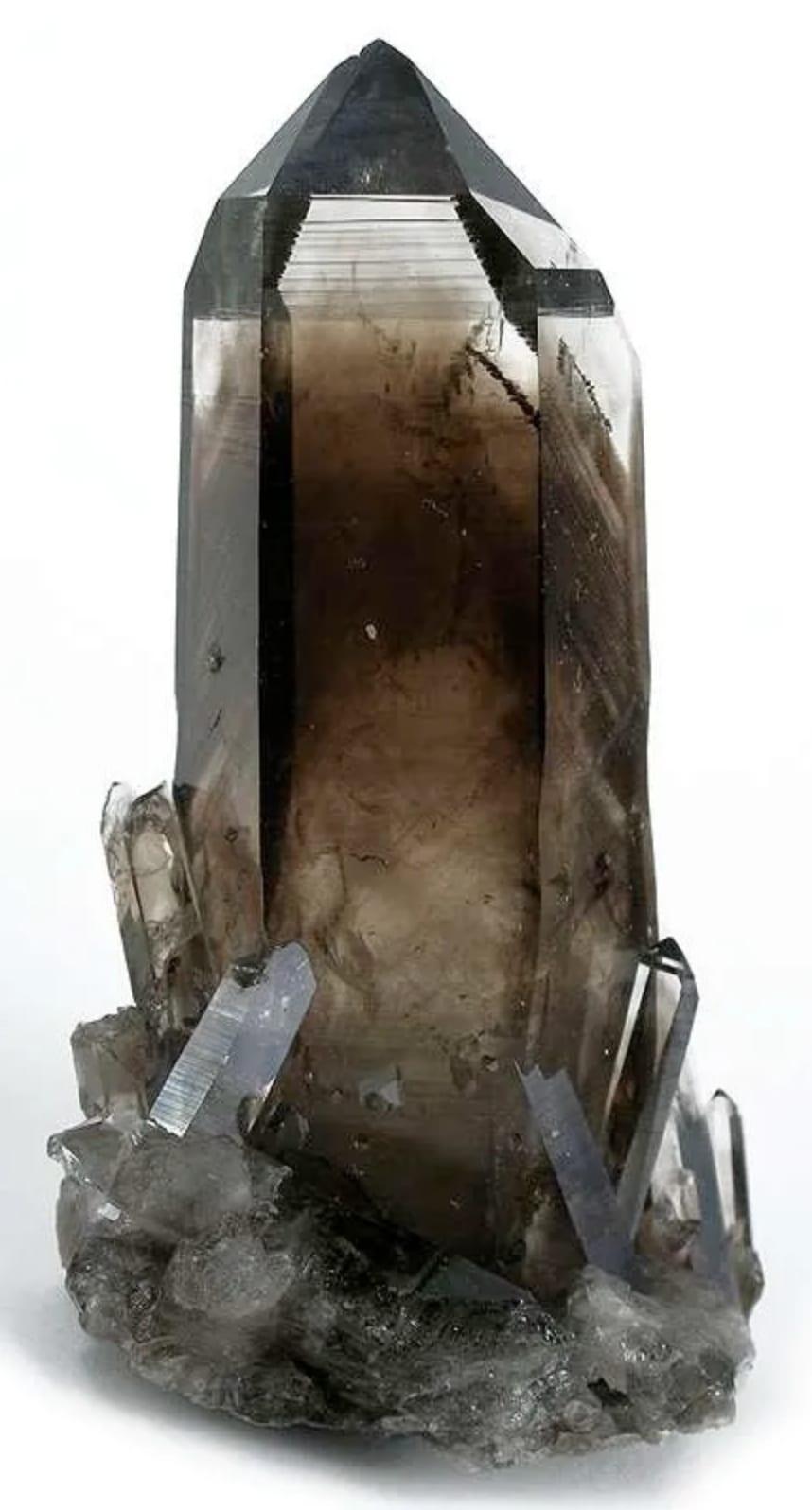
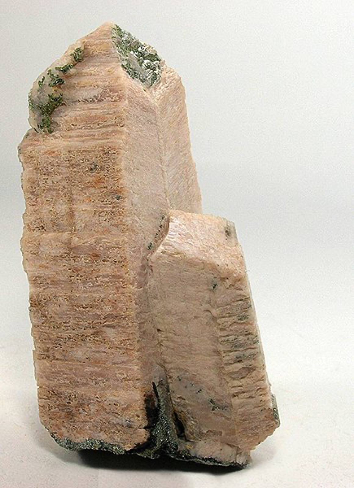
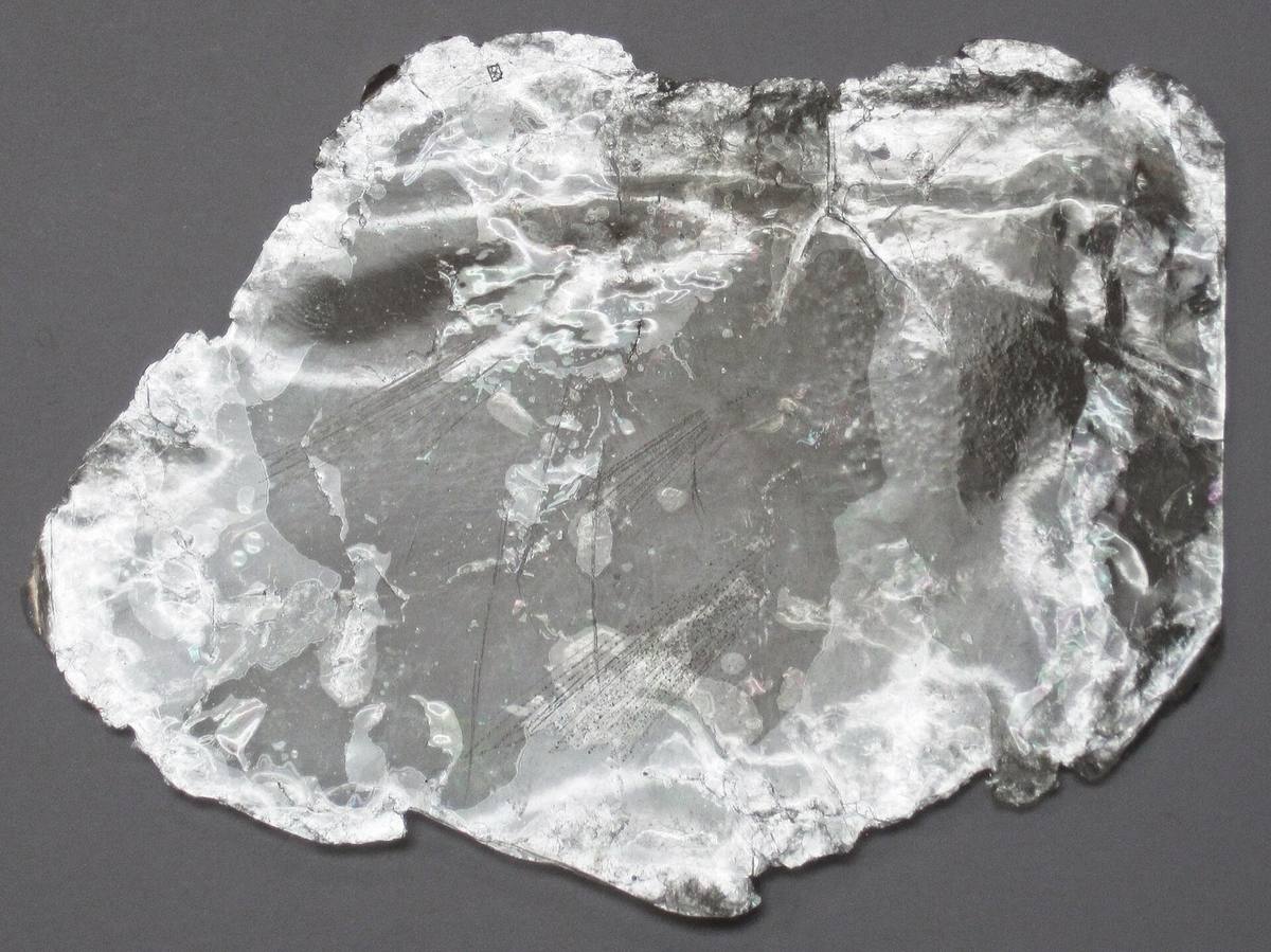
The Edgecomb pegmatite pits sit inside the 766-acre Schmid Preserve, town land laced with more than seven miles of public trails, where 1880s feldspar and mica workings exposed almandine garnet, beryl, and aquamarine. The preserve is free and open to the public. Smoky quartz and muscovite occur in the same pegmatite. Reported finds include almandine garnet, beryl, aquamarine, smoky quartz, feldspar, and more. Below: coordinates, access notes, nearby spots, and trip-planning links.
Plan your visit
Generally open to casual rockhounding
- County
- Lincoln County
- State
- Maine
- Nearest road
- River Link
- Postcode
- 04556
- Coordinates
- 43.96322, -69.61776
Coordinates are approximate. Confirm the exact ground in the RockHoundR app, where land overlays show which agency manages the area.
Land & collecting status
Generally open to casual rockhounding
Most public-tagged spots sit on BLM, U.S. Forest Service, or other federal land where reasonable hand collecting of common rocks and minerals is allowed. Confirm posted rules and active mining claims before you dig.
Access note: The free town-owned Schmid Preserve in Edgecomb holds the historic Mount Hunger quarry pits along its trail network. Preserve rules ask visitors to stay on existing trails, so confirm the current collecting policy with the town and limit yourself to loose surface material.
Public-land rules vary by agency, season, and field office. The RockHoundR app pulls live BLM, USFS, NPS, and tribal overlays so you can see exactly which agency manages the ground at this spot.
Best time to visit Edgecomb Quarry (Schmid Preserve)
Comfortable months (45 to 90°F highs)
Best months: April to November. Typical highs run 79°F in midsummer and 31°F in midwinter, with winter lows near 11°F.
Climate normals: NOAA 1991-2020 monthlies, WISCASSET AP station (5 mi away), adjusted for elevation.
Geology at Edgecomb Quarry (Schmid Preserve)
This spot sits on Bucksport Formation, mapped as sandstone and limestone that formed roughly 485 to 360 million years ago. Carbonate rock like this dissolves and weathers readily, so fresh road cuts, quarries, and creek exposures are typically the most productive ground.
- Mapped unit
- Bucksport Formation
- Age
- 485–360 Ma (Ordovician to Devonian)
- Rock types
- sandstone and limestone
- Elevation
- 260 ft
Geologic mapping via Macrostrat and the underlying state geological survey maps (CC BY 4.0). Bedrock at the surface can vary within a mapped unit.
Today's weather
Is today a good day to go?
The app shows live weather, recent rain, and a daily rockhounding score for Edgecomb Quarry (Schmid Preserve).
Get the appSources & verification
Spot details combine the public RockHoundR location dataset, normalized mineral labels, agency land-status checks in the app, and community submissions. Coordinates are approximate until verified in the field.
State guidance last verified:
- Maine Geological Survey
- Maine Mineral & Gem Museum
- Acadia National Park rules
- Community submissions reviewed against published agency rules
Found at Edgecomb Quarry (Schmid Preserve)
Each name opens all spots that produce that material; the encyclopedia link opens the full ID and field guide.
Nearby rockhounding spots
Other rockhounding spots within driving distance of Edgecomb Quarry (Schmid Preserve).
- HaveySagadahoc County, Maine · 16 mi awayAlbite, Almandine Garnet, Beryl
- Porcupine Hill QuarrySagadahoc County, Maine · 18 mi awayAlbite, Almandine Garnet, Beryl
- Warren Nickel ProspectKnox County, Maine · 23 mi awayPyrrhotite, Chalcopyrite
- Mount ApatiteAndroscoggin County, Maine · 34 mi awayGreen Tourmaline, Pink Tourmaline, Aquamarine
- Berry-Havey QuarryAndroscoggin County, Maine · 35 mi awayTourmaline, Watermelon Tourmaline, Beryl
- Pitts Garnet MineAndroscoggin County, Maine · 37 mi awayActinolite, Calcite, Diopside
- Poland Mining CampsAndroscoggin County, Maine · 40 mi awayQuartz, Feldspar, Beryl
- Singepole Mountain QuarryOxford County, Maine · 45 mi awayAlmandine Garnet, Beryl, Biotite
Across the state line from Edgecomb Quarry (Schmid Preserve)
Edgecomb Quarry (Schmid Preserve) is close enough to the Maine border that the next-closest rockhounding spots are in a neighboring state. Worth knowing if you are already on the road.
- Deer Hill Mineral Collecting AreaCarroll County, New Hampshire · 69 mi awayAmethyst, Beryl, Garnet
- Province LakeCarroll County, New Hampshire · 72 mi awayBlue Beryl, Feldspar
- Hurricane MountainCarroll County, New Hampshire · 73 mi awayAmethyst, Smoky Quartz
- South Baldface MountainCarroll County, New Hampshire · 73 mi awaySmoky Quartz, Topaz, Phenakite
- RedstoneCarroll County, New Hampshire · 74 mi awayAmethyst, Apatite, Quartz
- ConwayCarroll County, New Hampshire · 77 mi awayFeldspar, Smoky Quartz, Topaz
Edgecomb Quarry (Schmid Preserve) FAQ
Where is Edgecomb Quarry (Schmid Preserve)?+
What rocks and minerals can you find at Edgecomb Quarry (Schmid Preserve)?+
Is collecting allowed at Edgecomb Quarry (Schmid Preserve)?+
What tools should I bring to Edgecomb Quarry (Schmid Preserve)?+
When is the best time to visit Edgecomb Quarry (Schmid Preserve)?+
How do I get to Edgecomb Quarry (Schmid Preserve)?+
More rockhounding in Maine
See all 36 Maine spots →
Open Edgecomb Quarry (Schmid Preserve) on the map
Use the RockHoundR app for live land overlays, weather, geology, directions, and saved finds.