Long Island South Shore Beaches: Almandine Garnet & Quartz Rockhounding in Suffolk County, New York
- Minerals reported
- 3
- Elevation
- 10 ft
- Best months
- March to December
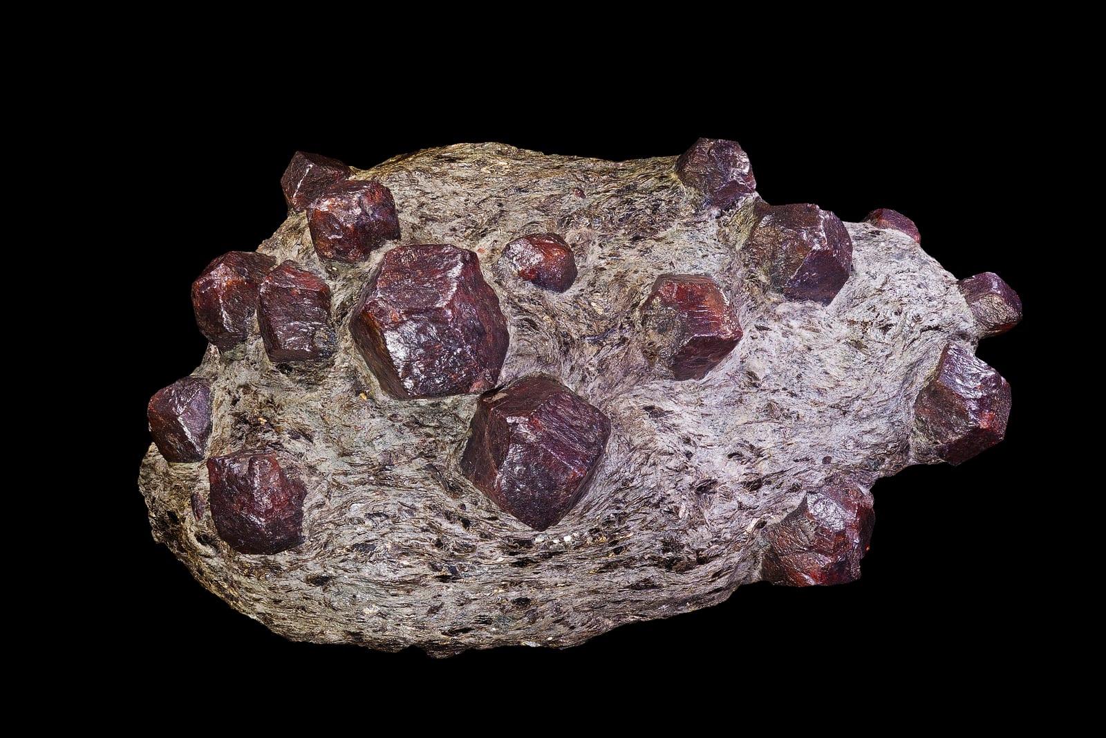
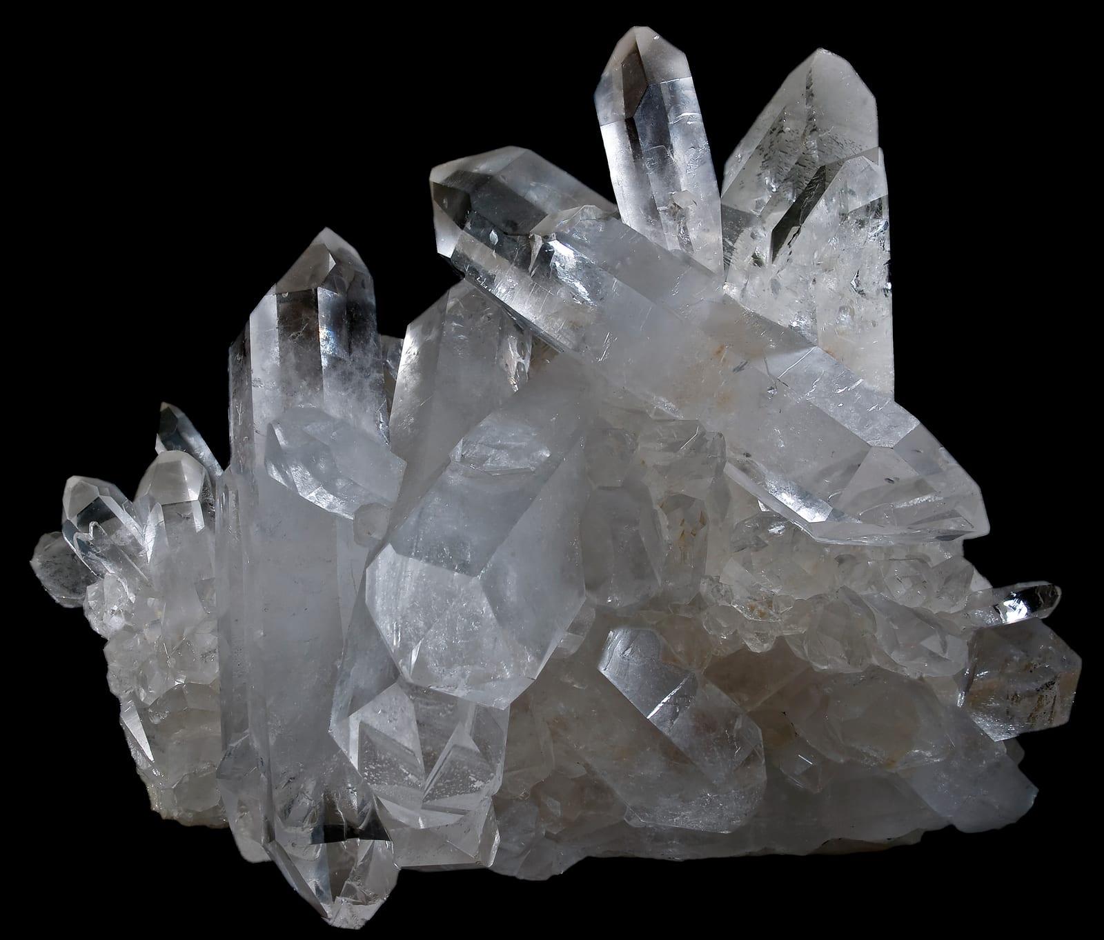
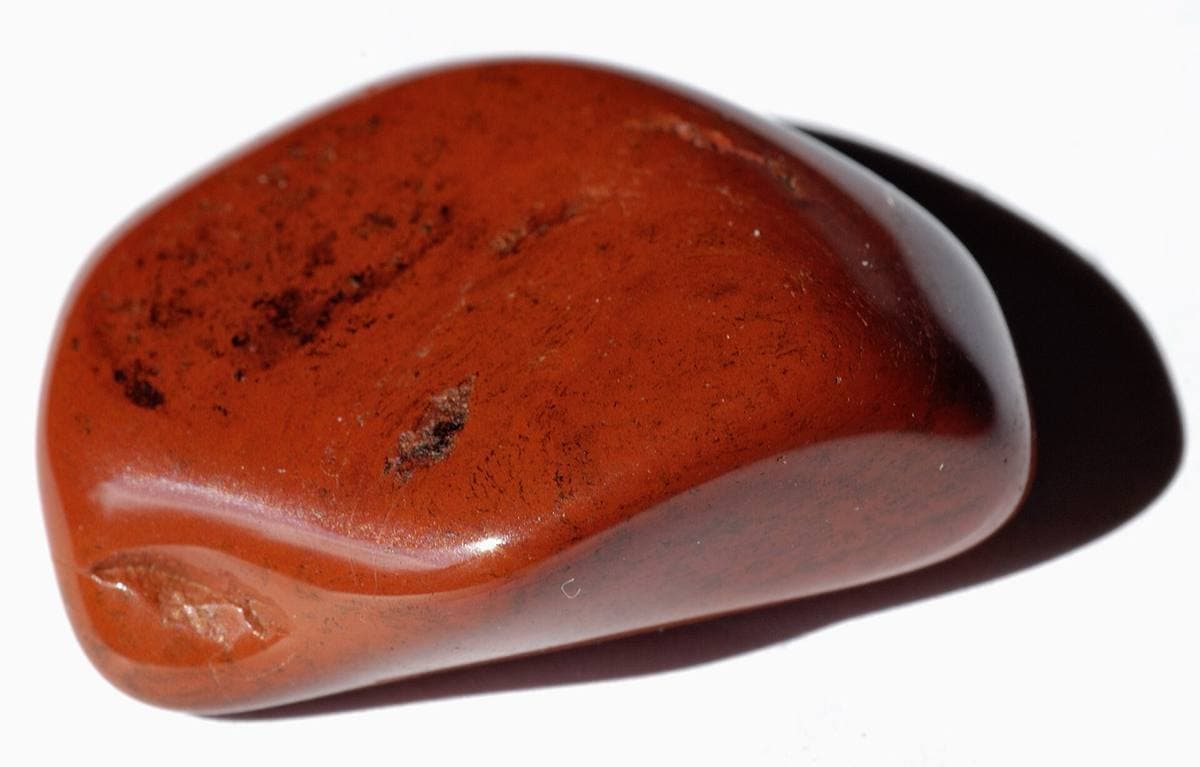
Storm waves concentrate almandine garnet into purple sand streaks along Long Island's south shore barrier beaches, a display that resets with every blow. Between the garnet bands the swash line carries white quartz and occasional jasper pebbles, and the whole shoreline from Fire Island to the Hamptons collects the same way. Reported finds include almandine garnet, quartz, jasper. Below: coordinates, access notes, nearby spots, and trip-planning links.
Plan your visit
Generally open to casual rockhounding
- County
- Suffolk County
- State
- New York
- Nearest road
- William Floyd Parkway
- Postcode
- 11967
- Coordinates
- 40.73410, -72.86155
Coordinates are approximate. Confirm the exact ground in the RockHoundR app, where land overlays show which agency manages the area.
Land & collecting status
Generally open to casual rockhounding
Most public-tagged spots sit on BLM, U.S. Forest Service, or other federal land where reasonable hand collecting of common rocks and minerals is allowed. Confirm posted rules and active mining claims before you dig.
Access note: Smith Point County Park is a representative access with a seasonal parking fee at the county lot; village road end accesses along the south shore open up in the off season. Garnet sand concentrates in purple streaks on the upper beach after storms; this is beachcombing scale collecting, not digging.
Public-land rules vary by agency, season, and field office. The RockHoundR app pulls live BLM, USFS, NPS, and tribal overlays so you can see exactly which agency manages the ground at this spot.
Best time to visit Long Island South Shore Beaches
Comfortable months (45 to 90°F highs)
Best months: March to December. Typical highs run 83°F in midsummer and 39°F in midwinter, with winter lows near 24°F.
Climate normals: NOAA 1991-2020 monthlies, SHIRLEY BROOKHAVEN AP station (6 mi away).
Geology at Long Island South Shore Beaches
This spot sits on Monmouth Group, Matawan Group and Magothy Formation, mapped as clay, sand, and gravel that formed roughly 100 to 66 million years ago. Gravels like these concentrate whatever survives the river: agate, jasper, and other tough silica typically show up as rounded, waxy stones.
- Mapped unit
- Monmouth Group, Matawan Group and Magothy Formation
- Age
- 100–66 Ma (Late Cretaceous)
- Rock types
- clay, sand, and gravel
- Elevation
- 10 ft
Geologic mapping via Macrostrat and the underlying state geological survey maps (CC BY 4.0). Bedrock at the surface can vary within a mapped unit.
Today's weather
Is today a good day to go?
The app shows live weather, recent rain, and a daily rockhounding score for Long Island South Shore Beaches.
Get the appSources & verification
Spot details combine the public RockHoundR location dataset, normalized mineral labels, agency land-status checks in the app, and community submissions. Coordinates are approximate until verified in the field.
- New York State Museum, Geological Survey
- NYS DEC land use rules
- Herkimer Diamond Mines
- Community submissions reviewed against published agency rules
Found at Long Island South Shore Beaches
Each name opens all spots that produce that material; the encyclopedia link opens the full ID and field guide.
Nearby rockhounding spots
Other rockhounding spots within driving distance of Long Island South Shore Beaches.
- Tilly Foster Iron MinePutnam County, New York · 62 mi awayMagnetite, Brucite, Chondrodite
- PeeksillWestchester County, New York · 66 mi awaySunstone
- Pine PondPutnam County, New York · 67 mi awayArsenopyrite, Asbestos, Leucopyrite
- Area Near West PointOrange County, New York · 71 mi awayChrysotile Asbestos
- Cornwall (Wallkill River)Orange County, New York · 76 mi awayBloodstone, Jasper
- CraigsvilleOrange County, New York · 84 mi awayBloodstone
- Mines (Orange County)Orange County, New York · 90 mi awayArsenopyrite, Leucopyrite, Scorodite
- AmityOrange County, New York · 91 mi awayBlue Corundum, White Corundum, Fluorite
Across the state line from Long Island South Shore Beaches
Long Island South Shore Beaches is close enough to the New York border that the next-closest rockhounding spots are in a neighboring state. Worth knowing if you are already on the road.
- Cinque QuarrySouth Central Connecticut Planning Region, Connecticut · 39 mi awayAmethyst, Smoky Quartz
- Guilford & East HavenSouth Central Connecticut Planning Region, Connecticut · 40 mi awayAgate
- Lamberts MineSouth Central Connecticut Planning Region, Connecticut · 40 mi awayChalcopyrite
- Pine Rock QuarrySouth Central Connecticut Planning Region, Connecticut · 42 mi awayPrehnite, Calcite, Serpentine
- New Haven Traprock QuarrySouth Central Connecticut Planning Region, Connecticut · 42 mi awayAmethyst
- Long Hill MineGreater Bridgeport Planning Region, Connecticut · 43 mi awayCalcite, Fluorite, Pyrite Cube
Long Island South Shore Beaches FAQ
Where is Long Island South Shore Beaches?+
What rocks and minerals can you find at Long Island South Shore Beaches?+
Is collecting allowed at Long Island South Shore Beaches?+
What tools should I bring to Long Island South Shore Beaches?+
When is the best time to visit Long Island South Shore Beaches?+
How do I get to Long Island South Shore Beaches?+
More rockhounding in New York
See all 92 New York spots →
Open Long Island South Shore Beaches on the map
Use the RockHoundR app for live land overlays, weather, geology, directions, and saved finds.