Gleneden Beach: Fossil Hunting in Lincoln County, Oregon
- Minerals reported
- 3
- Elevation
- 60 ft
- Best months
- Year-round
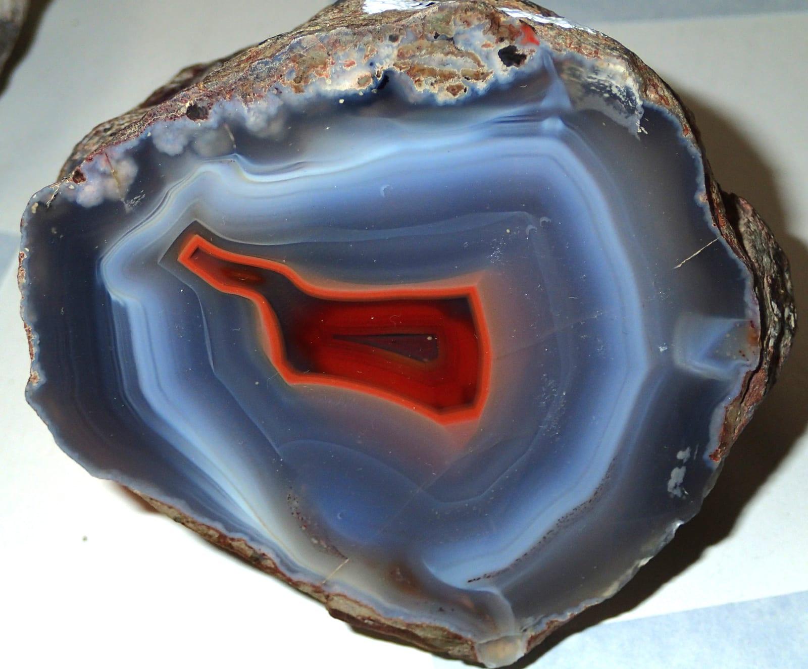
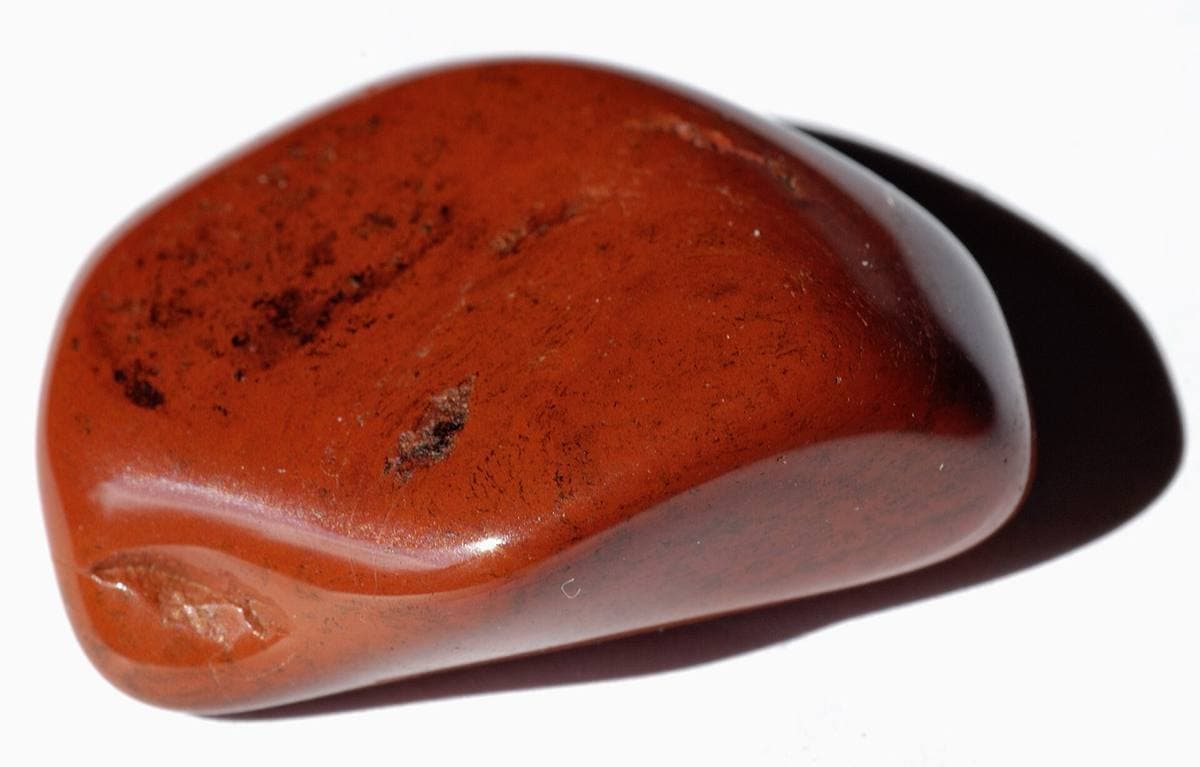
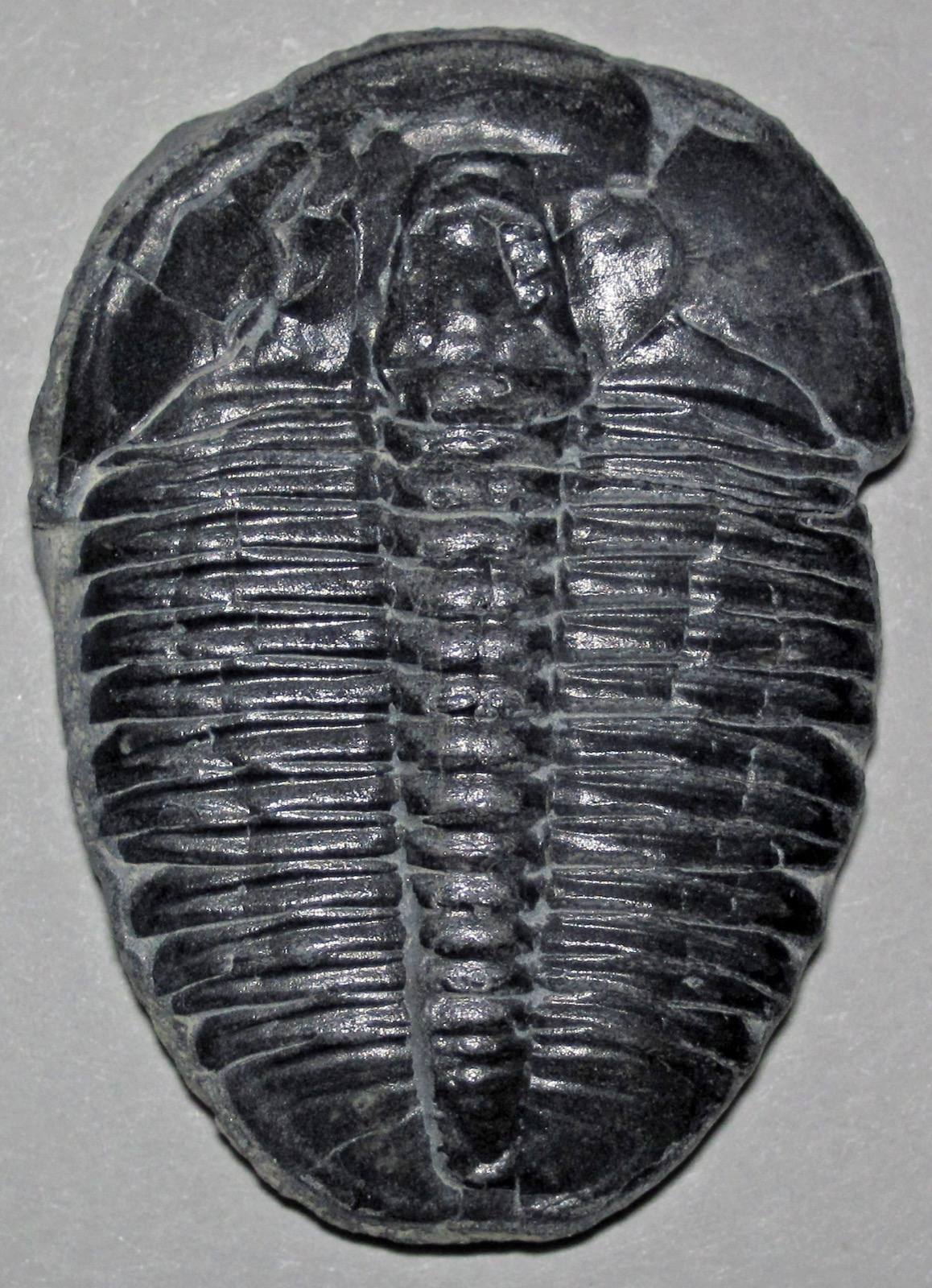
Gleneden Beach is a mapped rockhounding spot in Lincoln County, Oregon. Reported finds include agate, jasper, fossil. Below: coordinates, access notes, nearby spots, and trip-planning links.
Plan your visit
Generally open to casual rockhounding
- County
- Lincoln County
- State
- Oregon
- Nearest road
- Wesler Street
- Postcode
- 97388
- Coordinates
- 44.87585, -124.03785
Coordinates are approximate. Confirm the exact ground in the RockHoundR app, where land overlays show which agency manages the area.
Land & collecting status
Generally open to casual rockhounding
Most public-tagged spots sit on BLM, U.S. Forest Service, or other federal land where reasonable hand collecting of common rocks and minerals is allowed. Confirm posted rules and active mining claims before you dig.
Public-land rules vary by agency, season, and field office. The RockHoundR app pulls live BLM, USFS, NPS, and tribal overlays so you can see exactly which agency manages the ground at this spot.
Best time to visit Gleneden Beach
Comfortable months (45 to 90°F highs)
Conditions here are workable year-round, with typical highs from 49°F in winter to 71°F in summer.
Climate normals: NOAA 1991-2020 monthlies, OTIS 2 NE station (12 mi away).
Geology at Gleneden Beach
This spot sits on surficial deposits; Coastal terrace deposits, mapped as terrace, sand, fossils: fossil wood fossils, and debris talus that formed within roughly the last 3 million years. Reworked sediments like these can carry fossils eroded from older beds upstream, typically as rolled bone fragments, teeth, and shell material.
- Mapped unit
- surficial deposits; Coastal terrace deposits
- Age
- 3 Ma to present (Quaternary)
- Rock types
- terrace, sand, fossils: fossil wood fossils, and debris talus
- Elevation
- 60 ft
Geologic mapping via Macrostrat and the underlying state geological survey maps (CC BY 4.0). Bedrock at the surface can vary within a mapped unit.
Today's weather
Is today a good day to go?
The app shows live weather, recent rain, and a daily rockhounding score for Gleneden Beach.
Get the appSources & verification
Spot details combine the public RockHoundR location dataset, normalized mineral labels, agency land-status checks in the app, and community submissions. Coordinates are approximate until verified in the field.
State guidance last verified:
- BLM Oregon/Washington, Rockhounding & mineral material
- Oregon Department of Geology and Mineral Industries (DOGAMI)
- Oregon Parks and Recreation Department, beach collecting rules
- Community submissions reviewed against published agency rules
Found at Gleneden Beach
Each name opens all spots that produce that material; the encyclopedia link opens the full ID and field guide.
Nearby rockhounding spots
Other rockhounding spots within driving distance of Gleneden Beach.
- Fogarty State ParkLincoln County, Oregon · 3 mi awayAgate, Jasper, Petrified Wood
- Siletz Bay Park - Taft BeachLincoln County, Oregon · 4 mi awayAgate, Jasper, Petrified Wood
- Nelscott BeachLincoln County, Oregon · 6 mi awayAgate, Jasper, Fossil
- D River Wayside State ParkLincoln County, Oregon · 6 mi awayAgate, Jasper, Petrified Wood
- Otter Rock & Devils Punch Bowl State ParkLincoln County, Oregon · 9 mi awayAgate, Jasper, Petrified Wood
- Roads End State ParkLincoln County, Oregon · 9 mi awayAgate, Jasper, Petrified Wood
- Beverly Beach State ParkLincoln County, Oregon · 10 mi awayAgate, Jasper, Petrified Wood
- Moolack BeachLincoln County, Oregon · 12 mi awayAgate, Jasper, Fossil
Gleneden Beach FAQ
Where is Gleneden Beach?+
What rocks and minerals can you find at Gleneden Beach?+
Is collecting allowed at Gleneden Beach?+
What tools should I bring to Gleneden Beach?+
When is the best time to visit Gleneden Beach?+
How do I get to Gleneden Beach?+
More rockhounding in Oregon
See all 181 Oregon spots →
Open Gleneden Beach on the map
Use the RockHoundR app for live land overlays, weather, geology, directions, and saved finds.