Rockhounding in Juab County, Utah
19 mapped rockhounding spots in Juab County. Most commonly produces fluorite, beryl, chalcedony, quartz.
Juab County rockhounding photos
Representative spot and material photos from this county, shown where verified public image records are available.

Map showing 19 rockhounding spots in Juab County, Utah
Standouts in Juab County
Hand-picked spots in Juab County, chosen for unusual mineralogy or documented public access. Each card opens the full coordinates and access notes.
 Top pick
Dugway Range
PublicJuab County
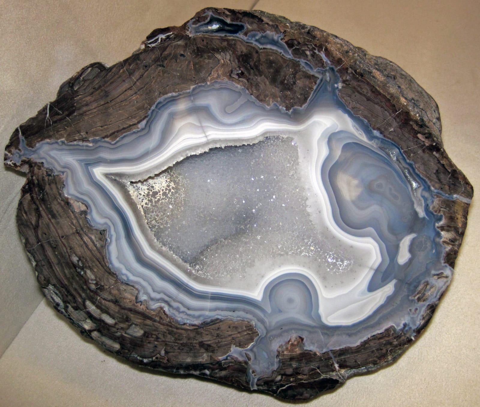
The Dugway Geode Beds are one of Utah's clearest geology-to-specimen localities: Miocene rhyolite cavities were eroded by Lake Bonneville and redeposited as diggable geodes in lake sediments.
Beryl, Chalcedony, Fluorite, Garnet
 Top pick
Spor Mountain
PublicJuab County
Spor Mountain stands out because its topaz-rhyolite-related deposits made it the world's premier beryllium district and Utah's largest fluorite producer.
Fluorite, Bertrandite, Carnotite, Chalcedony
 Top pick
Topaz Dome Quarry
PermissionJuab County
Topaz Mountain is Utah's defining gem locality, where amber topaz crystals formed in cavities of the Topaz Mountain Rhyolite and commonly bleach colorless in sunlight.
Beryl, Calcite, Bixbyite, Carnelian
Spots in Juab County
| Spot | Minerals | Coordinates | Access |
|---|---|---|---|
| Antelope SpringsAntelope Springs | 39.8861, -112.6991 | Public | |
| Centennial Eureka MineUnderwood Drive | 39.9444, -112.1228 | Permission | |
| Deep Creek MountainsQueen Sheeba Road | 39.8035, -113.9600 | Permission | |
| Desert Mountain | 39.7813, -112.5941 | Public | |
| Drum MountainsRough Well Road | 39.5711, -113.0359 | Public | |
| Dugway Geode BedsGeode Bed Road | 39.8945, -113.1373 | Public | |
| Dugway Geode Beds | 39.8974, -113.1520 | Public | |
| Dugway Range | 39.8944, -113.0802 | Public | |
| Fish SpringsPony Express Road | 39.8524, -113.4541 | Public | |
| Goshute ReservationCrystal Mine Road | 39.8237, -113.9728 | Permission | |
| Ibapah Peak | 39.8205, -113.8433 | Public | |
| Jericho | 39.7539, -112.2122 | Permission | |
| Spor MountainEagle Rock | 39.7588, -113.1974 | Public | |
| Thomas Range | 39.8267, -113.1485 | Permission | |
| Thomas Range | 39.7211, -113.1351 | Public | |
| Tintic MountainsOld Highway Road | 39.9123, -112.1311 | Public | |
| Topaz Dome Quarry | 39.6966, -113.0987 | Permission | |
| Topaz Dome Quarry | 39.6974, -113.0988 | Paid / fee | |
| Topaz Mountain Rockhound Recreation AreaWeiss Highway | 39.6664, -113.1146 | Public |
Neighboring counties in Utah
Adjacent rockhounding counties, ranked by how close their centroids sit to Juab County. A natural extension if Juab County is already on your trip plan.
- Tooele County~37 mi20 spotsTop: Galena, Pyrite, Cerussite
- Millard County~54 mi16 spotsTop: Garnet, Chalcedony, Idocrase
- Utah County~64 mi7 spotsTop: Calcite, Quartz, Sylvanite
- Sanpete County~83 mi8 spotsTop: Anhydrite, Gypsum, Halite
- Salt Lake County~85 mi8 spotsTop: Barite, Galena, Magnetite
- Sevier County~96 mi11 spotsTop: Anhydrite, Gypsum, Limonite
Juab County FAQ
Where can I rockhound in Juab County, Utah?+
What rocks and minerals are common in Juab County?+
Are these Juab County rockhounding spots on public land?+
Plan a Juab County rockhounding trip
Open RockHoundR to see these spots on the map alongside land overlays, weather, geology, and your saved finds.