Rockhounding in Fremont County, Wyoming
19 mapped rockhounding spots in Fremont County. Most commonly produces agate, jasper, chalcedony, beryl.
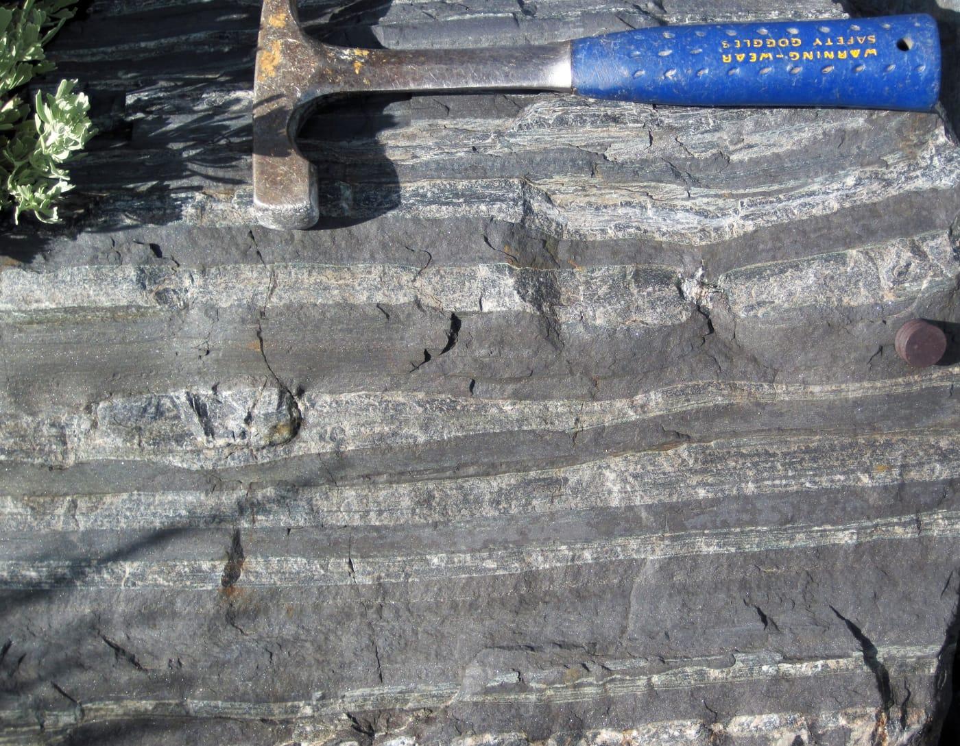
Fremont County rockhounding photos
Representative spot and material photos from this county, shown where verified public image records are available.

Map showing 19 rockhounding spots in Fremont County, Wyoming
Minerals reported in Fremont County
Standouts in Fremont County
Hand-picked spots in Fremont County, chosen for unusual mineralogy or documented public access. Each card opens the full coordinates and access notes.
 Top pick
Sweetwater River
PermissionFremont County
Sweetwater agate is Wyoming's signature agate, and the Sweetwater River drainage is the classic field area tied to the Granite Mountains source terrain.
Agate
 Top pick
Atlantic City
PublicFremont County
Atlantic City sits in the South Pass country, where Wyoming's gold-mining history overlaps with the central Wyoming jade and agate belt.
Agate, Chalcedony, Gold, Nephrite Jade
 Top pick
Warm Springs
PublicFremont County
Warm Springs is a strong Granite Mountains-area pick because it combines Wyoming jade targets with agate, jasper, chalcedony, quartz, and silicified wood in one public-land collecting corridor.
Agate, Chalcedony, Jasper, Jade
Spots in Fremont County
| Spot | Minerals | Coordinates | Access |
|---|---|---|---|
| Atlantic CityRiverview Cutoff | 42.4895, -108.7275 | Public | |
| Copper MountainBadwater Road | 43.3799, -107.8843 | Public | |
| Copper Mountain Pegmatites | 43.4087, -108.0024 | Public | |
| Fort Washakie | 43.1318, -108.9788 | Permission | |
| Fremont CountyContinental Divide National Scenic Trail | 42.5377, -108.9406 | Public | |
| Fremont County | 42.3204, -107.5345 | Public | |
| Granite Mountains Pegmatites | 42.5498, -107.8059 | Public | |
| Green MountainGreen Mountain Road | 42.3574, -107.7236 | Public | |
| LanderSquaw Creek Road | 42.8234, -108.7926 | Public | |
| Owl Creek | 43.7110, -109.1956 | Public | |
| Sage Hen Creek | 42.5813, -107.5826 | Public | |
| Shoshoni | 43.2023, -108.0641 | Public | |
| South PassHighway 28 | 42.3700, -108.9134 | Public | |
| South Pass CityAtlantic City Road | 42.4705, -108.7692 | Public | |
| SweetwaterGraham Road | 42.5605, -108.1254 | Public | |
| Sweetwater River | 42.4473, -108.9958 | Permission | |
| ThermopolisArapahoe Ranch Road | 43.5110, -108.6258 | Permission | |
| Warm SpringsEmigrant Trail | 42.4908, -108.1721 | Public | |
| Wind River & StreamsCountry Club Drive | 43.0180, -108.4526 | Permission |
Neighboring counties in Wyoming
Adjacent rockhounding counties, ranked by how close their centroids sit to Fremont County. A natural extension if Fremont County is already on your trip plan.
- Natrona County~78 mi7 spotsTop: Agate, Chalcedony, Alabaster
- Sweetwater County~85 mi14 spotsTop: Agate, Chalcedony, Jasper
- Park County~107 mi4 spotsTop: Agate, Anhydrite, Azurite
- Carbon County~119 mi8 spotsTop: Opalized Wood, Autunite, Azurite
- Big Horn County~130 mi6 spotsTop: Fossil, Gastrolith, Gypsum
- Lincoln County~131 mi2 spotsTop: Chalcedony, Chert, Jasper
Fremont County FAQ
Where can I rockhound in Fremont County, Wyoming?+
What rocks and minerals are common in Fremont County?+
Are these Fremont County rockhounding spots on public land?+
Plan a Fremont County rockhounding trip
Open RockHoundR to see these spots on the map alongside land overlays, weather, geology, and your saved finds.